This is an epic RV road trip of 20,000kms from Miami in Florida, to the Maritimes in Canada, across to South Dakota then down to Colorado, Utah, Arizona and New Mexico. There are many famous American landmarks along the way and for us some new discoveries.
On this trip we concentrated on the country regions rather than the big cities.
Take a look at our slideshow of USA/Canada RV Road Trip 2024
We flew into Los Angeles, spent one night, then next day flew to Miami where we collected our RV and began our road trip north. We finished the trip in Denver, Colorado.
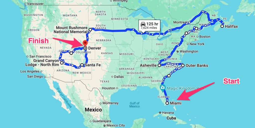
Map of Itinerary
El Monte RV
After much research to determine – do we buy or rent an RV, which company should we rent from, what type of vehicle should we go with – we chose to rent from El Monte RV – an El Monte RV – Class C Small
We found the service from El Monte superior to other companies that we contacted and the vehicle was very comfortable. It had all the features we needed, and more – kitchen (cooktop, oven, microwave, good-sized refrigerator/freezer), good quality cutlery, crockery and cookware, small bathroom (shower, handbasin and toilet), a good-size table and comfortable bed. We loved that it had insect screens, good sized windows, opening skylights in roof with extractor fans, air-conditioning in the heat, an awning and plenty of storage.
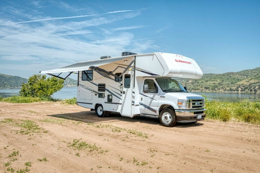
El Monte RV, Class C Small
The service we received when collecting the vehicle in Miami was exemplary.
Extras such as camping chairs, kettle, toaster – can be hired at a small cost. Linen (sheets, pillows, blankets, towels) and a picnic table were included.
We had a couple of queries along the way and were able to call the help line for assistance.
El Monte delivered excellent service and a good quality vehicle.
Itinerary:
Los Angeles – Miami – Cape Canaveral – Savannah – Charleston – Blue Ridge Parkway – Outer Banks – Gettysburg – Vermont – Portland – Maine – Acadia National Park – Nova Scotia – Prince Edward Island – Montreal – Quebec City – Niagara Falls – Badlands National Park – Black Hills region of South Dakota – Utah – Devils Tower, Wyoming – Rocky Mountains National Park – Arizona – Santa Fe & Taos, New Mexico – Great Sand Dunes National Park – Denver
Los Angeles, California
We had one day in Los Angeles, as a stopover from Sydney to Miami, Florida.
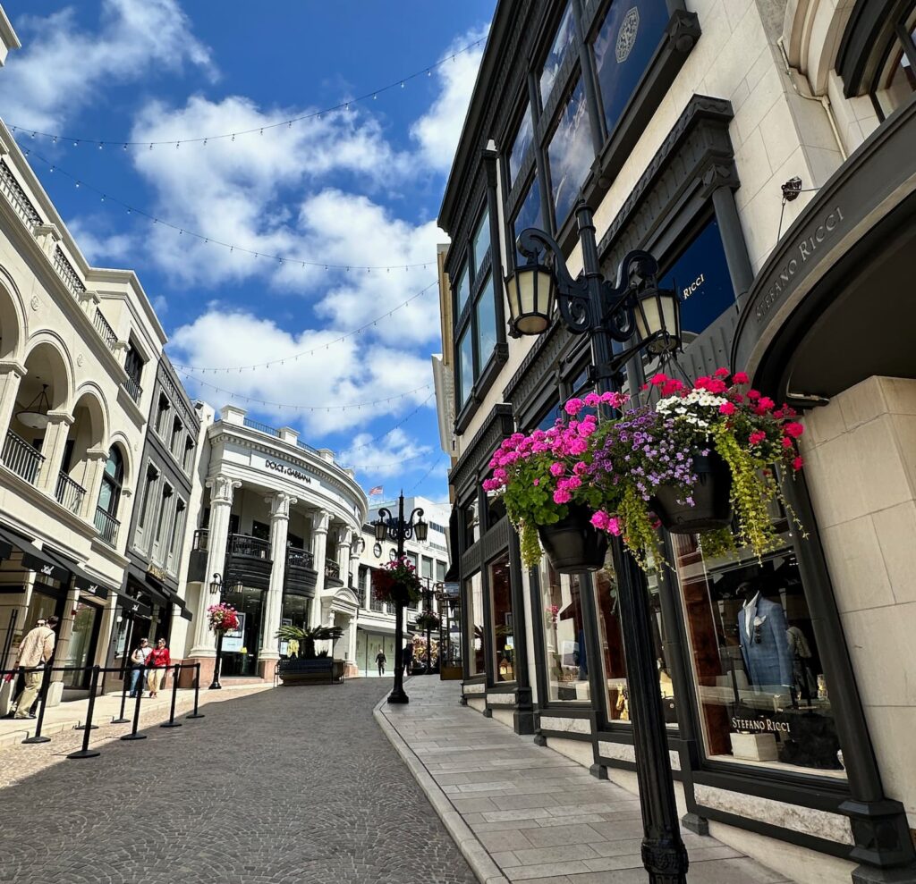
Rodeo Drive, Beverly Hills, Los Angeles
If you have been to Disneyland, Universal Studios and Hollywood, and are up for something a little different, this is what we recommend for a relaxing day in LA:
- Take a stroll along Rodeo Drive, known for upmarket designer boutiques and people watching.
- Visit Beverly Hills Park – for the outdoor sculptures and the much-photographed Beverly Hills sign.
- Lunch at The Cheesecake Factory – not just desserts! The avocado tacos and burgers are delicious.
- Visit Abbot Kinney Street in Venice – dubbed ‘the coolest street in the world’. We loved this area for its cafes, restaurants, local designers, well-known cool brands, the architecture and street art.
- Enjoy dinner at The Butcher’s Daughter on Abbot Kinney Street – a vegetarian restaurant!
- Walk along Venice Beach promenade. Venice Beach is a wide, white sandy beach. Watch the talented skate-boarders in the skate-board park. The shops along the promenade are very touristy but it’s a fascinating place.
Miami, Florida
Miami is a beautiful, vibrant city with lots of sunshine, beaches, waterside mansions and an upbeat vibe.
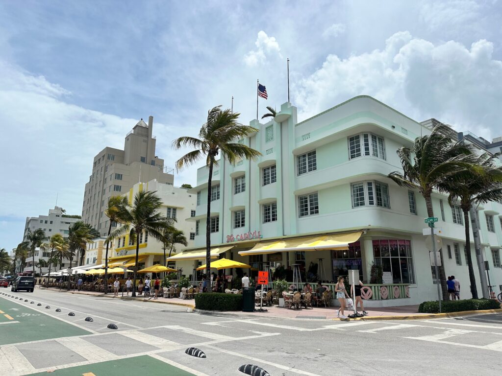
South Beach Art Deco buildings, Miami
Recommendations on what to see and do if you have a couple of days in Miami:
- Visit Everglades National Park – take an airboat ride through the everglades spotting alligators, turtles and birdlife. There are quite a few companies operating tours. We found Everglades Safari Park to be very good. They offer 30–40-minute general airboat tours, or you can book a 40 minute private ride on a small airboat. They also offer a 60-minute Private Jungle of Wilderness Tour.
- On the trip back to Miami from the Everglades, visit Cuban bakery – Party Cake Bakery for Cuban specialities – Cuban sandwich, croquettes, empanadas. We loved the flan – a delicious creamy vanilla custard with caramel sauce.
- Visit South Beach for the beautiful art-deco architecture, white sandy beach, shopping on Lincoln Road.
- Take a Hop On, Hop Off Bus tour.
- Visit Wynwood Art District.
- Miami Design District – designer brands, street art, cafes, local boutiques.
- Little Havana – Cuban restaurants, shops selling Havana Panama hats, Cuban cigars, etc.
- Visit Bayside – waterside shops and restaurants.
- Rent a boat to cruise Miami Harbour – to see the cruise ships, palatial homes on Star Island, Palm Island, the Venetian Causeway, Miami River and Fisher Island (a private island with its own golf course, tennis courts, school, etc).
- Enjoy lunch at Casablanca on Miami River.
- Visit charming, arty Coconut Grove – for cafes, shopping and a leafy environment by the water.
- Visit historic 1920s Coral Gables, known for its Mediterranean Revival architecture, restaurants, boutiques and beautiful homes.
Drive Miami to Cape Canaveral
If you take Hwy 95, the drive from Miami to Cape Canaveral is about 3 hours 20 minutes. However, we took the scenic route for part of the way – the A1A Florida Scenic Highway – as far as Palm Beach. The A1A runs along the coast.
We particularly liked:
- Fort Lauderdale – East Las Olas Boulevard for shopping, the architecture and the beachfront.
- Delray Beach
- Gulf Stream for the tree lined streets and mansions.
- Palm Beach for the ocean views, huge homes and gardens, Worth Avenue for window shopping and architecture.
Cape Canaveral, Florida
The highlight at Cape Canaveral is the Kennedy Space Center Visitor Complex – a must see! We only had four hours to spend there, but we recommend spending a whole day as there is so much to see and do. It is amazing.
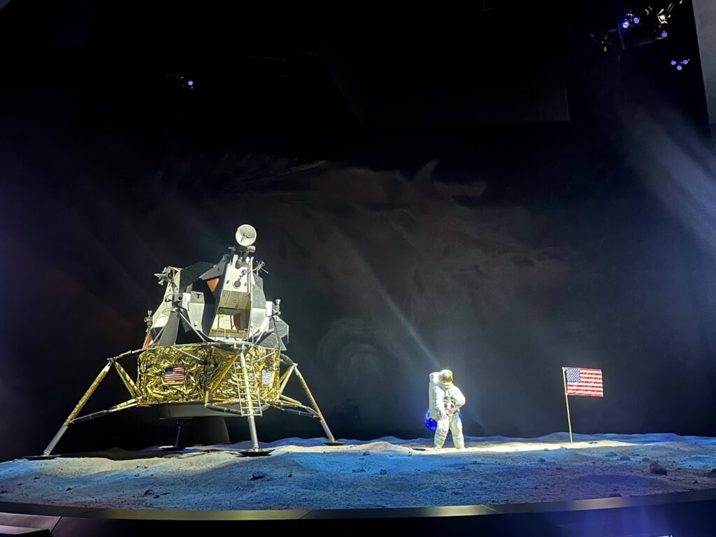
Kennedy Space Center, Florida
Tickets can be purchased from ticket machines at the entrance. We suggest calling into the Visitor Information centre for a map and daily schedule, and to find out how best to utilise the time you have there.
The highlights for us:
- Apollo/Saturn V Center – this is an amazing experience where you can relive the Apollo 8 launch, stand below the Saturn V rocket, see the lunar module cockpit and the lunar module, hear first-hand accounts of the Apollo 11 moon landing, touch a moon rock, and much more.
Shuttle buses take visitors beyond the security gates to the Apollo/Saturn V Centre and on the way, drive by the Vehicle Assembly Building, built in 1966 for the assembly of the Apollo/Saturn V moon rocket. It is still in use today for the Space Launch System. We also see the ‘crawler’- used for transporting rockets to the launch pad.
The bus only runs until 2.30pm so best to do this in the morning. - Atlantis – see an Atlantis space craft, learn about space travel today, experience a simulation of space shuttle’s launch into orbit, learn how to dock and land the space shuttle. There are free guided tours of the Atlantis exhibits throughout the day (duration 20 minutes) which we highly recommend.
- Gateway: The Deep Space Launch Complex – where you can explore the future of space travel and learn what’s currently happening. There are flight simulators and interactive experiences. In Spaceport KSC, a 2-storey motion theatre you can experience what it is like to travel in space – choose from 4 missions: Red Planet, Unchartered Worlds, Cosmic Wonders and Daring Explorers.
There is much more to see at the Kennedy Space Centre – talks by astronauts, IMAX films on space, see a real Mars Rover, stroll through the Rocket Garden (tours available), visit the Astronaut’s Hall of Fame.
Savannah, Georgia
Savannah is the oldest city in Georgia. It has a rich heritage that can be experienced by strolling the streets of the historic district, lined in southern Live Oak trees draped in Spanish moss, and through its gorgeous garden squares – 22 in all! There is an eclectic mix of architecture, shops, boutiques, galleries and a lively student community thanks to the city being home to the Savannah College of Art and Design.
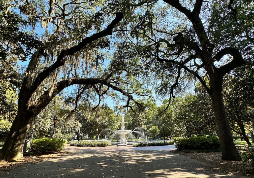
Forsyth Park Fountain, Savannah
Whilst Savannah experienced two devastating fires (1795 and 1820), it was spared during the American Civil War.
Our suggestions while in Savannah:
- As an introduction to Savannah, take a guided trolley tour – there are several to choose from. We chose the Old Savannah Tours as they are local operators. Start from the Savannah Visitors Centre, choose hop on/hop off or the stay-on overall view. There are 14 stops throughout the city if you choose hop on/hop off. The driver gives a live commentary, and we hear the history of Savannah, and during the tour, people dressed in character board and tell us their stories of life in old Savannah.
- For an insight into the days of slavery, visit Owens-Thomas House & Slave Quarters on Oglethorpe Square and the Davenport House Museum. (One ticket will gain admission to Owens-Thomas House, Telfair Museum and Jepson Center modern art gallery.)
- Savannah is said to be America’s most haunted city – there are lots of ghost tours on offer if that appeals.
- Take a tour of one of Savannah’s historic homes: Harper Fowlkes House on Orleans Square, Green Meldrim House (used as General Sherman’s headquarters during the Civil War), Andrew Low House (founder of the Girl Scouts lived here), Sorrel-Weed House on Madison Square (said to be haunted), the Mercer Williams House on Bull Street. Some of the historic homes are now museums – Telfair Academy (art museum) and Scarborough House (Ships of the Sea Museum).
- Visit Forsyth Park for the beautiful Live Oak trees and much photographed fountain.
- It is popular to take a stroll through Bonaventure Cemetery, featured in the book and movie ‘Midnight in the Garden of Good and Evil’.
- Wormsloe State Historic Site – for the mile-long avenue of southern Live Oak trees draped in Spanish moss. There are ruins, a small museum and walking tracks. It is 10 miles from the centre of Savannah.
- River Street, on the Savannah River, is an historic street popular with tourists for the restaurants, pubs and souvenir shops.
- For shopping, take a stroll along Broughton Street – the main shopping street in the city. Bull Street, in Savannah’s historic district, is also a great place for independent boutiques and shopping.
Road Trip between Savannah and Charleston
Whilst the drive between Savannah and Charleston is only 2 hours, it is worth taking your time as there are some interesting sights along the way:
- Call in to Frampton Plantation House (dating back to 1700) – the Low Country Visitor Center & Museum – a wealth of information on the area, lovely picnic spots, small exhibition in the parlour of this beautiful house and a good gift shop. If you’re interested in film, don’t miss the book listing all the movies made in the area.
- Visit Old Sheldon Church Ruins – originally built in the 1700s, the church suffered destruction during two fires – in the Revolutionary War and again in the Civil War. The ruins left standing among the live oak trees draped in Spanish moss are beautiful.
- Make a stop at the Low Country Produce store and café, selling handmade local chutneys, sauces, jams, etc.
- Visit the charming town of Beaufort – it is South Carolina’s second oldest city and the streets are lined with beautiful pre Civil War homes – especially in The Point. We also found Craven Street to be very pretty. The waterfront area is lined with restaurants with views of the river. Beaufort warrants a stay to take in all the sights.
- Take a drive to Hunting Island State Park – South Beach and North Beach – long stretches of sandy beach and see the Hunting Island Lighthouse. It is a surprise to be driving through a tropical forest of palms.
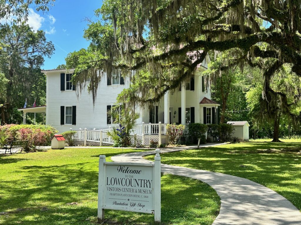
Frampton House Visitor Center & Museum
Charleston, South Carolina
Charleston is a charming, vibrant and sophisticated city with a beautiful historical district. The first shots of the American Civil War were fired at Fort Sumpter, Charleston and there are many intriguing and entertaining stories to hear on a walking tour of the city.
The Charleston Convention & Visitors Bureau website is an excellent source of information.
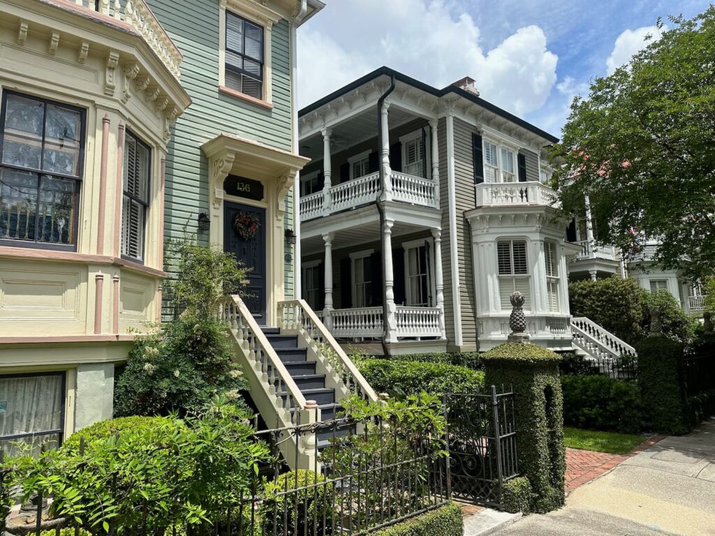
Historic homes on Tradd Street, Charleston SC
Things to do in Charleston:
- Start the day with brunch at Frannie & the Fox at the Emeline hotel in Charleston’s historic district. The pastry basket is delicious.
- Visit the Charleston Convention & Visitors Centre for how best to spend your time seeing the city.
- Take a one hour horse-drawn carriage tour around the historic district. Each tour is randomly given a certain area of the city to visit – it doesn’t give you a tour of the whole historic district. The guides are excellent.
- Take a guided walking tour of the historic district. We loved the 120 minute ‘Charleston History Walk’ with Revolutionary Charleston Tours
- Visit Aiken-Rhett House to get a glimpse of life before the Civil War.
- Go shopping on King Street.
- Visit the City Markets for local souvenirs.
- Visit a plantation. We visited beautiful Middleton Place but there is also Boone Hall Plantation, Drayton Hall or Magnolia Plantation.
Outer Banks, North Carolina
The Outer Banks is a string of barrier islands stretching along the coast of North Carolina – the islands are connected by ferries and bridges. The Outer Banks National Scenic Byway (NC 12) is a spectacular drive that traverses the Outer Banks and warrants a few days.
We travelled from south to north by firstly taking our vehicle on the ferry from Cedar Island to Ocracoke, a 2-hour 15 minute trip.
Ocracoke is a very charming town with a lovely lighthouse, guesthouses, holiday houses, restaurants, British Cemetery and some small shops. There are golf carts for hire to get around the small town.
From Ocracoke we drove north stopping at Pony Pen where we climbed a small ramp to see a few of the local Ocracoke Ponies – dating back to the 1730s, they are descendants from Spanish domesticated horses.
Then it’s on to the Ocracoke-Hatteras Ferry which took 1 hour and 20 minutes to Hatteras Island. Arriving in Hatteras Inlet, there is a museum called Graveyard of the Atlantic, a maritime museum about the many shipwrecks on the Outer Banks. To our disappointment it was closed for refurbishment!
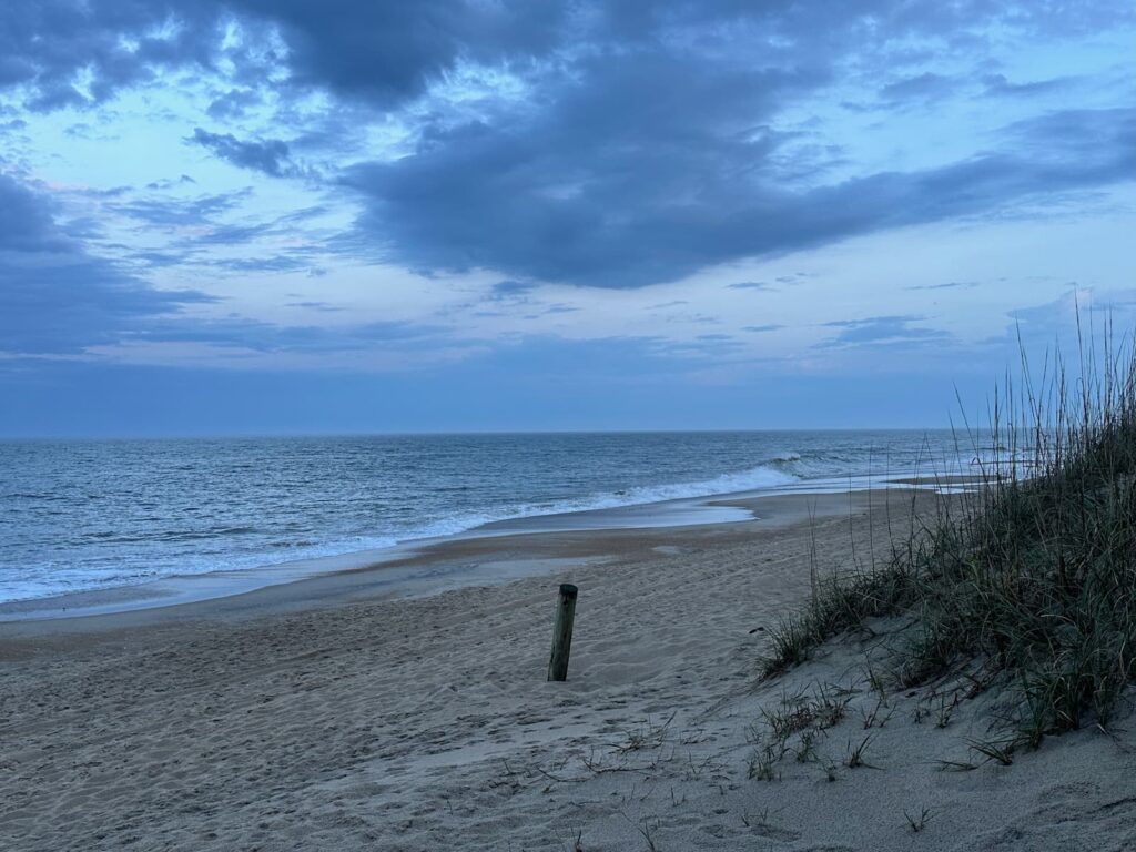
Beach along Outer Banks Scenic Byway
From there it is a pretty drive, passing attractive holiday homes and apartments to the Cape Hatteras Lighthouse, where you can climb the lighthouse, visit the museum and hear talks by rangers. However, as of May 2024, the lighthouse is undergoing a huge refurbishment and will not open for another 18 months.
We spent the night at the KOA campground in Hatteras and enjoyed the sea breeze.
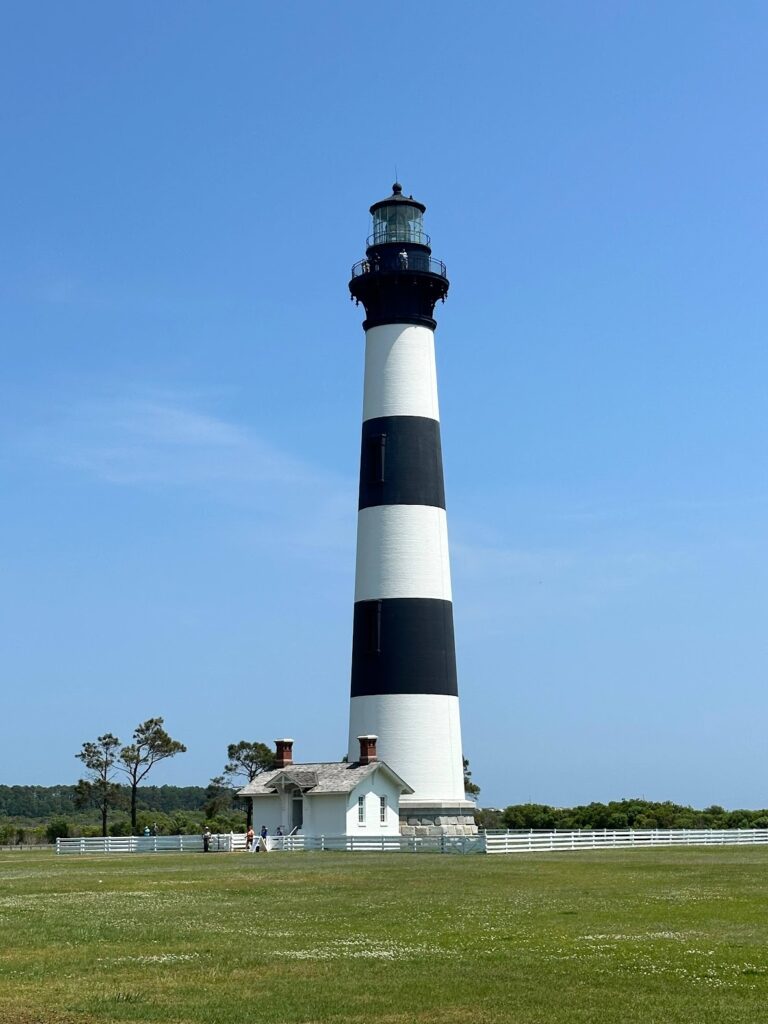
Bodie Island Lighthouse, Cape Hatteras National Seashore
Next day we continued north crossing some spectacular bridges between islands. There is much to see north of Rodanthe. Highlights include:
- Inn at Rodanthe – featured in the film ‘Nights in Rodanthe’.
- Chicamacomico US Lifesaving Station.
- Pea Island National Wildlife Refuge.
- Oregon Inlet & Marc Basnight Bridge.
- Bodie Island Lighthouse & Marshes.
- Roanoke Island – where you will find the charming town of Manteo, the Roanoke Marshes Lighthouse, Festival Park, Elizabethan Gardens.
- Jockeys Ridge State Park – tallest natural sand dunes on the East Coast.
- Wright Brothers National Memorial – not to be missed!
- Duck Soundside Boardwalk.
Asheville, North Carolina
Asheville was our starting point to drive the Blue Ridge Parkway.
However, the main reason many people visit Asheville is to visit Biltmore – the amazing estate built by George Vanderbilt over a century ago as his country escape. It is now a National Historic Landmark, and while still a family business (it is the largest private house in the USA), it is open to the public.
Biltmore is a 250-room chateau and has 75 acres of gardens.
As well as the house itself, on the estate visitors can experience Antler Hill Village and Deerpark.
Antler Hill Village includes:
- Antler Hill Barn – craft demonstrations
- Farmyard – visit animals
- Pisgah Playground
- Village Green – seasonal activities
- The Biltmore Legacy
- Winery – Wine Shop, Tasting Room and Wine Bar
Deerpark features:
- Amherst – an exhibition space
- Biltmore Stable – horseback rides
- Lioncrest
Tickets are available online or at the Admissions Gate of the estate. Entry fee to the grounds is US$80 per person – allow 4-6 hours for your visit.
To include a self-guided audio tour of Biltmore House is US$110 per person (tickets are timed by entry and must be reserved in advance).
Asheville – City Highlights
For a good introduction to the city of Asheville, we visited the Visitor Centre. From there we took a Hop On Hop Off Grayline tour – highly recommended.
We elected to stay on the tour for the whole loop (1¾ hours, US$34 per person) and enjoyed a live commentary by the driver.
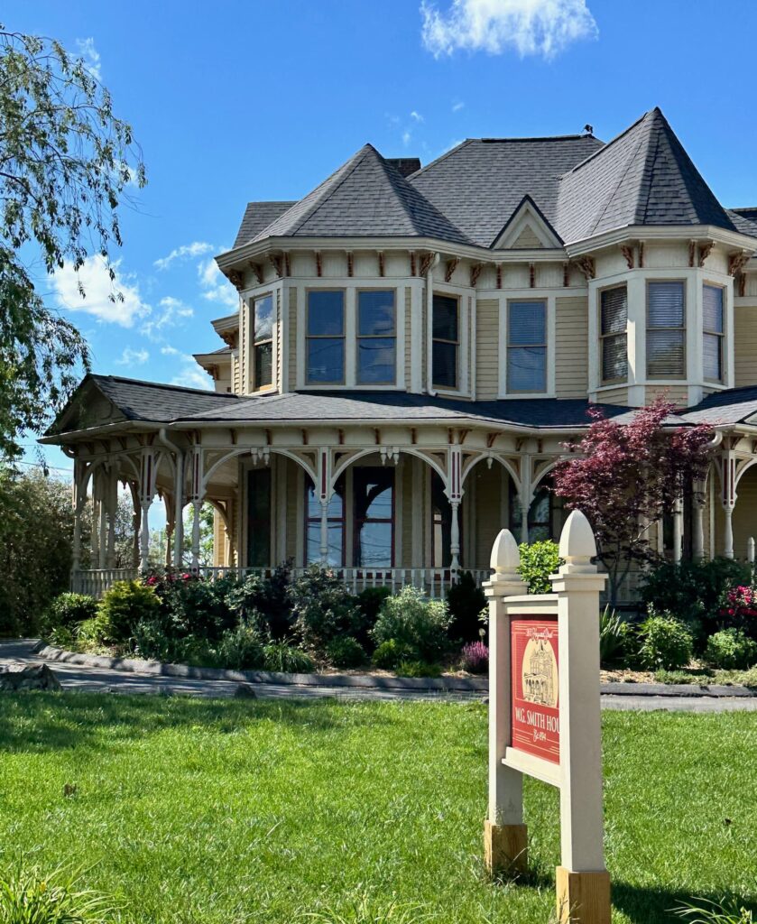
Whitford G. Smith House, Historic Home in Asheville
Highlights of the Hop On Hop Off Grayline tour:
- Montford Historic District
- Grove Park Historic District
- Thomas Wolfe District
- Pack Square and Asheville Art Museum
- Haywood St, Wall St & Battery Park
- Grove Arcade and downtown Asheville
- River Arts District North and South
- Biltmore Village (not to be mistaken with Biltmore Estate)
Blue Ridge Parkway
The Blue Ridge Parkway is often called ‘America’s favourite drive’.
This scenic drive of 469 miles, links Smokey Mountains National Park and Shenandoah National Park. It traverses the spine of the Appalachian Mountain range through North Carolina and Virginia. Free of commercial vehicles it is a wonderful leisurely drive with lots to see along the way.
Construction of the road began in the 1930s and took 52 years to complete! There are 26 tunnels along the way.
The drive can be made in either direction – North or South. There are milepost markers along the route with Mile 0 being at the northern end.
While the Blue Ridge Parkway Visitor Centre & Park Headquarters are located in Asheville, the Parkway starts (or finishes) at Milepost 469, just 2 miles north of Cherokee (Access from US441) near the Oconaluftee Visitor Center.
We began our trip in Asheville, simply due to time constraints. We loved this scenic drive and can highly recommend it.
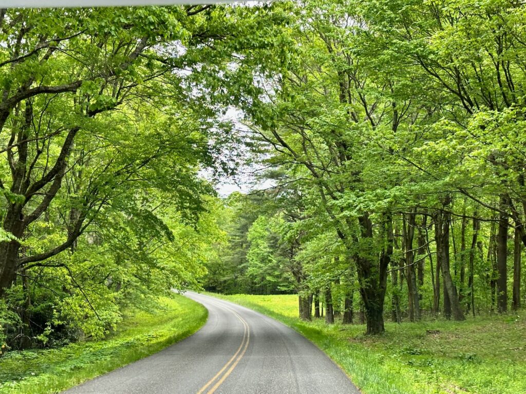
Blue Ridge Parkway, Fancy Gap
Highlights on the North Carolina section of Blue Ridge Parkway:
- Blue Ridge Parkway Visitor Center – the place to plan your drive – get great advice, maps and brochures/booklets.
- Folk Art Center
- Craggy Gardens Visitor Center – no flowering rhododendrons on our trip.
- Lost View Cliffs Overlook – our picnic lunch spot – good internet
- Mount Mitchell State Park Restaurant & Observation Tower – highest spot on this section of the Parkway.
- Green Knob Overlook
- Laurel Knob Overlook
- Little Switzerland
- The Historic Orchard at AltaPass
- Linville Falls
- Panoramic views from overlook near Linville Cove Viaduct
- Moses Cone Park – an historic estate – mansion, craft store and hikes
- Blowing Rock – is a popular stop on the parkway
- Overlook View Wilson Creek Valley
- Lost View Cliffs Overview
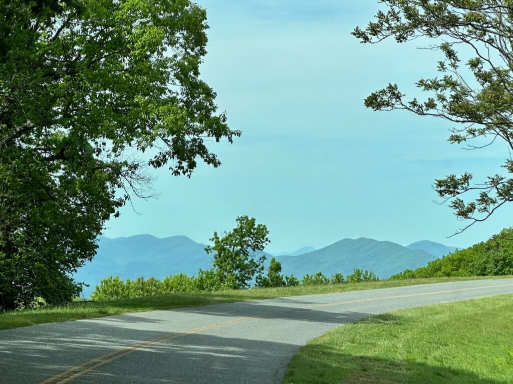
Blue Ridge Parkway near Blackhorse Gap
Always check for road closures along Blue Ridge Parkway. At the time of our trip, the Parkway was closed between Deep Gap (Milepost 276.5) and Milepost 221.8 near Cumberland Knob (217.5), so we took a detour on Hwy 221, 58E and I-77S to our accommodation at Fancy Gap. We were very disappointed to have missed:
- Doughton Park & Brinegar Cabin
Unfortunately, we also missed the popular:
- Blue Ridge Music Center
Highlights on the Virginia section:
- Puckett Cabin
- Malby Mill
- Smartview – picnic lunch spot overlooking rustic Pioneer Cabin.
- Panoramic views – Pine Spur Overlook and Devils Backbone Overlook.
- Great Valley Overlook where the Appalachian Trail crosses the Parkway.
- Peak of Otto Overlook and Mills Gap Overlook where the Parkway traverses the neck of the mountain range with clear views either side.
- Peaks of Otter Visitor Centre (closed on our trip), Lodge & Restaurant.
- Arnold Valley Overlook – wonderful panoramic views.
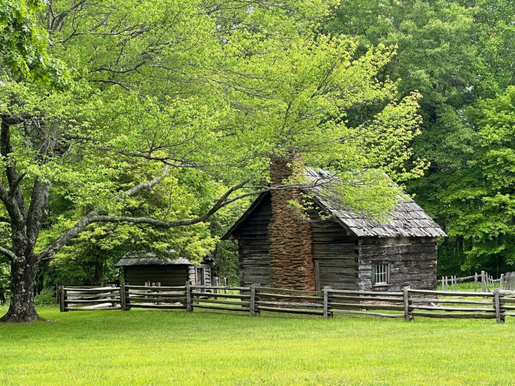
Puckett Cabin along the Blue Ridge Parkway
From Arnold Valley Overlook onwards we had rain and mist so could not see anything from the overlooks. We did however stop at:
- Humpback Rocks Visitor Centre & Farm – well worth a stop for the little museum in the Visitors Centre and the stroll nearby to look at the old farm buildings.
Good to Know:
- Facilities along the parkway (Visitor Centres and Campgrounds) are generally all open from Memorial Day (late May) to the end of October. We drove the Parkway in mid-May and many facilities were closed (only two campgrounds and very few Visitor Centres were open).
- If you are driving an RV or high vehicle, check tunnel heights before you set out.
- One of the most popular seasons to drive the Parkway is in the Fall. We found it very pretty in Spring and while the rhododendrons were not yet blooming (bloom mid-June) we saw very pretty azaleas and wildflowers.
- For more information visit the US National Parks Service Blue Ridge Parkway website.
Gettysburg, Pennsylvania
Gettysburg is famous for the Battle of Gettysburg (1863) – a turning point in the American Civil War – and there is no better place to learn about the battle than at the National Military Park Museum followed by a tour of the Gettysburg battlefields.
Gettysburg National Military Park – Museum & Visitor Center
On entering the Visitor Center/Museum building, there is a help desk where you can speak to Rangers who can advise the best way to make use of your time. Be sure to pick up a map of the Gettysburg National Military Park – this shows the 24-mile Auto Tour Route, starting at the Visitors Centre. There are 16 stops on the tour.
There are various ticket packages available, depending on your interests and time you have available.
We recommend buying a ticket at least for the Museum, Film and Cyclorama.
- Film
Proceed to the theatre to watch the film “A New Birth of Freedom”. Narrated by Morgan Freeman, the film (about 25 minutes) summarises the background to the Civil War and describes the Battle of Gettysburg. It is an excellent film. - Cyclorama
Visitors are then directed to the Cyclorama. The Cyclorama is an amazing 360-degree painting depicting Pickett’s Charge – a significant turning point in the Battle of Gettysburg. The battle comes to life via a sound and light show – highly recommended. On exiting the Cyclorama, you enter the museum. - Museum
The museum takes visitors through the Civil War in detail. There is a lot to read and take in. If the Civil War is of interest to you, you could easily spend 2 hours here.
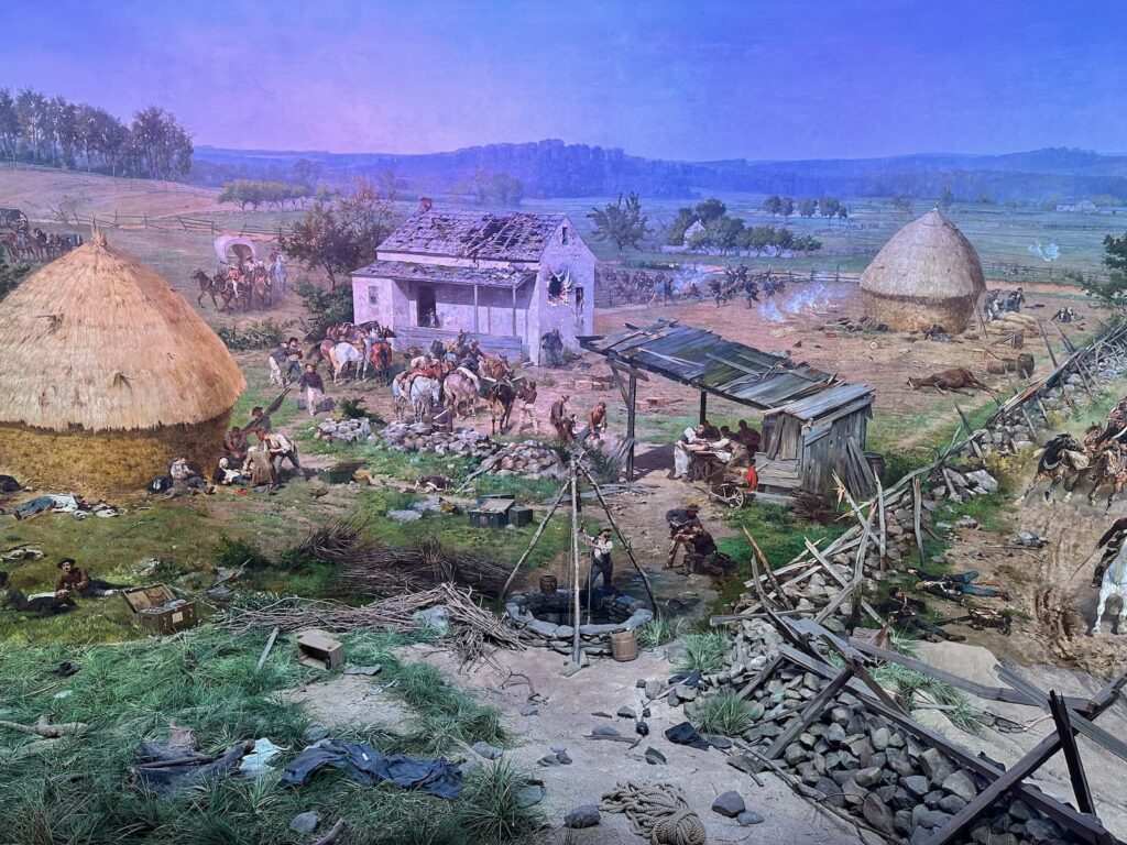
Part of the Cyclorama at Gettysburg National Military Park – Museum & Visitor Center
Battlefields
The battlefields can be seen by doing a self-guided tour, a bus tour (2 hours), or have a licensed Battlefield Guide travel with you in your car (2 hours). One of the interesting things to see on the battlefields is the Gettysburg National Cemetery, where Abraham Lincoln delivered his famous Gettysburg speech.
Other things to see and do in Gettysburg:
- David Wills House – where Abraham Lincoln stayed and finalised his Gettysburg speech.
- Gettysburg Railway Station – a new virtual reality experience “Ticket to the Past – Unforgettable Journeys”.
- Eisenhower National Historic Site – take a tour of the historic home of President Eisenhower.
- Children of Gettysburg 1863 – an interactive children’s history museum. Hear the stories of children who lived in Gettysburg in 1863.
- Gettysburg Historic Walking Tour – collect a brochure for this self-guided tour.
- George Spangler Farm & Field Hospital – the family farm became a field hospital during the Battle of Gettysburg.
Woodstock, Vermont
Vermont is known for its beautiful scenery and charming towns.
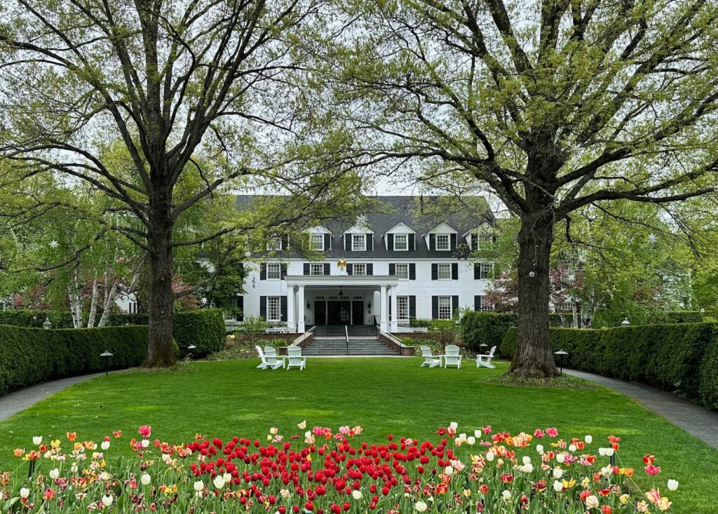
Woodstock Inn, Woodstock, Vermont
One of the most beautiful towns would have to be Woodstock. We visited Woodstock in mid-May and it was a highlight of our travels through New England. Beautiful gift shops, clothing boutiques, etc.
Recommendations:
- Focus – A Vermont Gallery to see the gorgeous photographic works by local photographers Loren Fisher, Ron Lake and Bob Wagner. Works for sale.
- Visit the flagship store of Farmhouse Pottery
- Visit Gillingham’s General Store (since 1886) – a treasure trove of rooms brimming with everything from groceries to outdoor wear.
- Stroll the streets for shopping – boutiques, galleries and cafes.
- Don’t miss the Middle Covered Bridge 1889 just off the Village Green
- Quechee Gorge
Kanacamagus Highway Scenic Byway, New Hampshire
Stop at the White Mountain Visitor Centre to collect a map and information on what to see along this pretty drive.
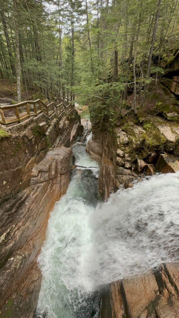
Sabbaday Falls, Kancamagus Highway
Our recommendations:
- Lincoln Woods Suspension Bridge & Rangers Station/Cabin (Mile 5.2)
- Discover Trail (Mile 7.5)
- Hancock Overlook (Mile 11) (no RVs) – views to the southwest
- Unamed overlook (mile 11.6) – similar views to Hancock Overlook
- Pemi Overlook (Mile 13.5)
- CL Graham Overlook (Mile 13.6)
- Sabbaday Falls (Mile 19.9) – walk about 500m each way to see pretty waterfall and emerald pool – beautiful.
- Russell-Colbath House Historic Site (Mile 22.8) – historic house, interpretative signs, free admission to house.
- Rocky Gorge (Mile 26.2) – short walk to pretty falls.
- Albany Covered Bridge (Mile 29)
Portland, Maine
We loved Portland and can highly recommend a visit!
Recommendations in Portland:
First stop – Portland visitor centre ‘Visit Portland’ down on the waterfront to pick up a map and get some advice on what to see and do in the time available. Portland is known for lobster, lighthouses and beautiful historic buildings.
We were able to park the RV in the carpark at the Tourist Information Center and walk the town – the central area of town is literally 3 miles long and 1 mile wide. There are excellent boutiques, gift shops, galleries, cocktail bars, coffee shops, bakeries and restaurants.
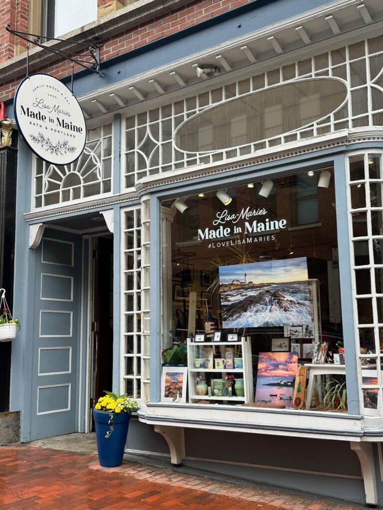
Made in Maine – Downtown Portland
Recommendations in Portland:
- Self-guided walking tour of Old Port & Waterfront: Architectural Wonders
- Self-guided walking tour of Congress Street & Arts District: Architectural Wonders
- Enjoy a lobster or crab meat roll at Luke’s Lobster
- Drive to Bug Light (lighthouse)
- Drive to Spring Point Ledge Lighthouse
- Portland Head Light in Fort Williams Park – one of the most photographed lighthouses in the country. Beautiful homes on the drive to Fort Williams Park. Enjoy the cliff walk in the Park.
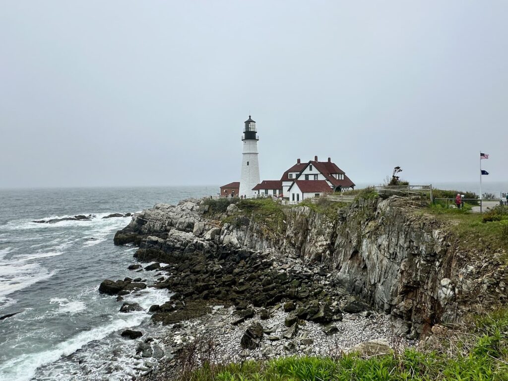
Portland Headlight, Fort Williams Park
Cruise ships stop in Portland so it can get crowded. Fortunately, on the Sunday we were there, there were no crowds.
Portland (Maine) to Bar Harbor & Acadia National Park (Maine)
We reluctantly left Portland and made our way north, headed for Bar Harbor.
You could take days to do this coastal drive, but we were limited on time. Our favourites stops were:
- Boothbay Harbor
- Camden – our favourite
- Belfast
Accommodation: KOA Acadia
KOA Acadia has a wonderful location – on a headland on Mount Desert Island, right on the water. It is about a 15-minute drive to the Hull Visitor Center and Acadia National Park.
It is not a large park and we enjoyed Site 365 – just one row back from the water’s edge but still with a lovely view. We had electricity/water but had to use the Dump Station for sewerage. There are two bathroom blocks, one with a laundry. The showers are unisex but toilets are separated. There are planned activities, a van serving meals, a communal fire pit.
Acadia National Park, Maine
Acadia National Park takes in 65 miles of coastline on Mount Desert Island, Isle au Haut, Schoodic Peninsula plus 17 other islands.
The most popular section of the park is the eastern peninsular of Mount Desert Island.
Visitors take the Park Loop Road to access hikes, drive up Mt Cadillac, enjoy coastal views and visit popular stopovers along the way.
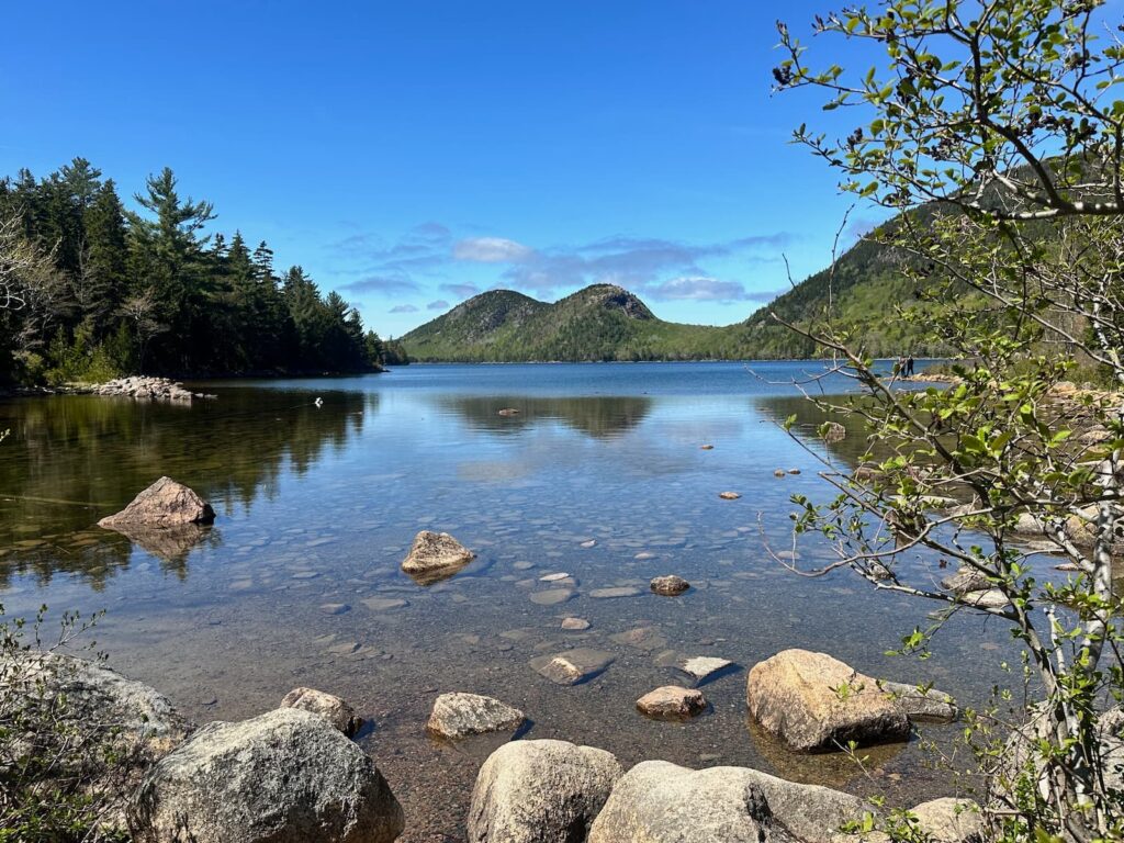
Jordan Pond, Acadia National Park
Our recommendations:
- Start with a visit to the Hull Visitor Center to pay the entrance fee to the NP, collect a map and speak to a ranger to get an idea how to best spend your time.
- The Acadia Park Loop road begins from the Visitor Center.
- A few minutes after beginning the Loop Road, pull over to enjoy the views over Frenchman Bay.
- Sieur de Monts – This is where the Park was first established. Visit Wild Gardens of Acadia (see the different plants that grow in the different regions of the park), the Nature Center and Abbe Museum.
- Stop at Sand Beach – a beautiful spot for swimming in summer, lovely views. Take the Ocean Path Trail – a 4.4 mile return or 2.2 one way walk along the coastline via Thunder Hole (0.7 miles) then on to Otter Cliffs and finishing at Otter Cove – wonderful views.
- Stop at Thunder Hole – park and walk across the road to the viewing platform. The Thunder Hole Gift Shop is housed in what was the first ranger station in the Park.
- Stop at Otter Point – lovely views.
- Stop at Otter Cove overlook – more lovely views.
- The section of the road between Sand Beach and Otter Point is the most popular part of the Park and it can be difficult to get parking.
- Jordan Pond House – there is a Restaurant and Gift Shop. The restaurant has been serving ‘popovers’ for over 100 years. Upstairs is an Observation Deck and the Carriage Road Carry Out selling gourmet sandwiches, salads, hot and cold drinks etc. Take a walk down to the lake for a beautiful photo.
- Drive to the top of Cadillac Mountain for amazing views. Between mid-May and mid-October, a vehicle reservation is required to drive the Cadillac Summit Road.
There are a few low clearance bridges on the Loop Road so if driving an RV, it is worth checking height restrictions before setting out.
If you enjoy cycling, there are a series of Carriage Paths throughout the park – 45 miles of them. These paths are also used for horse-riding and carriage rides.
Bar Harbor, Maine
At the end of Park Loop Road, we drove down to Bar Harbor (still on Mount Desert Island). Bar Harbor is a pretty town that takes its name from the sand bar (gravel bar) that appears at low tide connecting Bar Harbor with Bar Island. It is popular to walk across at low tide.
Highlights of Bar Harbor:
- Walking tour of Bar Harbor to see elegant mansions, churches and public buildings.
- Tour of La Rochelle mansion, built in 1903.
- Abbe Museum – learn about the native American Wabanaki people.
- Visit the shops, bars and restaurants. Bar Harbor is known for its fresh seafood, particularly lobster.
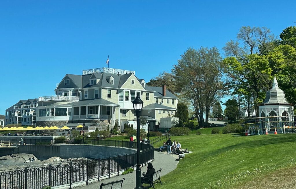
Agamont Park, Bar Harbor
Acadia to St John (New Brunswick, Canada)
Leaving Acadia, we headed south to St John where we had booked a campsite, and planned to take the ferry across to Digby in Nova Scotia the next day.
We took Rte 1, which is not a terribly scenic drive, however if you have time, there are several interesting things to see along the way.
Points of interest:
- Schooner Peninsula – We drive around Schooner Peninsula however RVs are unfortunately not allowed on the NP loop which is supposed to be beautiful.
- Machias – stop at Helen’s Restaurant & Bakery – delicious seafood menu. We bought a slice of the Blueberry Pie and the Strawberry/Rhubarb Pie and two blueberry muffins to take away – delicious.
- Lubec, West Quoddy Head lighthouse (the easternmost lighthouse in US).
- President Franklin D Roosevelt summer house on Campobello Island.
- Eastport – easternmost city in USA
- Marker on LHS of road – 45th parallel just beyond Perry – marking the halfway point between the Equator and the North Pole.
- St Croix Island International Historic Sites
- At Calais we cross the border into Canada (no US border patrol).
- St John – Reversing Falls (also at Pembroke)
Accommodation: Rockwood Park Campground, New Brunswick
The campsite has a good location within beautiful Rockwood Park, on a hill. We received a friendly welcome from the staff at the front gate, and 15% vouchers to spend at the nearby restaurant in Rockwood Park.
The campground is not pretty but we found it very practical. Most of the campground is gravel and the sites are in the open (very few trees). We have electricity/water/sewer. There is a small building with bathrooms – Men and Women separate – in the centre of the campground with laundry in the same building. The bathrooms and laundry are very clean.
The reason we chose this campground was because it is close to the ferry over to Nova Scotia.
St John (New Brunswick, Canada) to Nova Scotia (Canada)
We took the ferry from St John ferry terminal to Digby (Nova Scotia). It is a good idea to arrive at the ferry at least one hour before departure as there are long queues of all manner of vehicles waiting to take the ferry.
It is a large vehicle ferry and very busy – we shared the vehicle deck with quite a few trucks, vans and lots of cars. Once aboard we had to leave our vehicle on Deck 5 and walk upstairs to the passenger deck.
Our ferry was called Fundy Rose and was very comfortable. There were two kiosks for food and drinks, a business space, lots of tables and chairs/lounges, bathrooms and a film room.
The sailing time was 2 hours 15 minutes and on our trip the Bay of Fundy was very smooth.
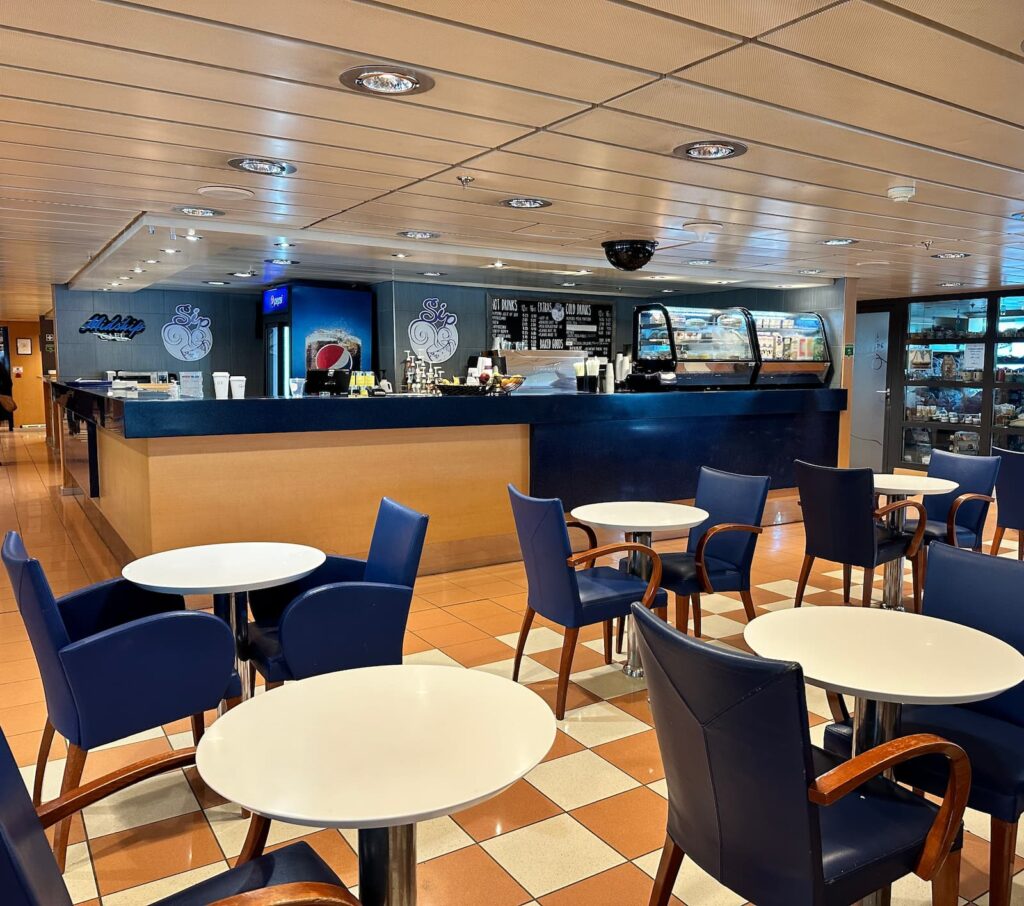
Midship Cafe on the ‘Fundy Rose’ ferry from Saint John to Digby
Digby, Nova Scotia
On arrival in Digby, we drove to the Visitor Information Centre just 3 minutes away from the wharf.
The staff were very friendly and helpful and gave us lots of good advice on what to see and do on Nova Scotia. We collected a map and couple of brochures and made our way into the small coastal town of Digby.
We parked in Digby near the waterfront and took a stroll. There are lots of fishing boats in the harbour in Digby and many restaurants serving seafood (scallops are a specialty in Digby). Fundy Restaurant has a big presence on the waterfront.
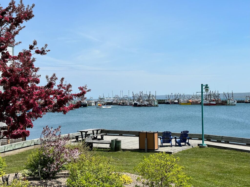
Boats in harbour at Digby
We bought a few groceries at Atlantic Super Store just outside of Digby and then drove to Annapolis Royal.
Annapolis Royal, Nova Scotia
This small town has a lovely location on the Bay of Fundy. Highly recommended – a very pretty place with lots of history.
Recommendations:
- Take a walk along the waterfront – there are plaques with information on the history of the town.
- The waterfront walk leads to Fort Anne Historical Site – highly recommended. The fort’s bulwarks are covered in grass now and there is a beautiful walk with information boards. Pick up a Visitor Guide from the historic Officers’ Quarters which houses a museum depicting the history of the fort.
- Browse the charming shops, galleries and cafes.
- Visit the Farmers & Traders Market, corner of St George Street & Drury Lane – Saturdays, late May to early October – for local produce, crafts and music.
- Visit Port-Royal National Historic Site – a reconstruction of a 17th Century French colony.
- Visit the Annapolis Royal Historic Gardens
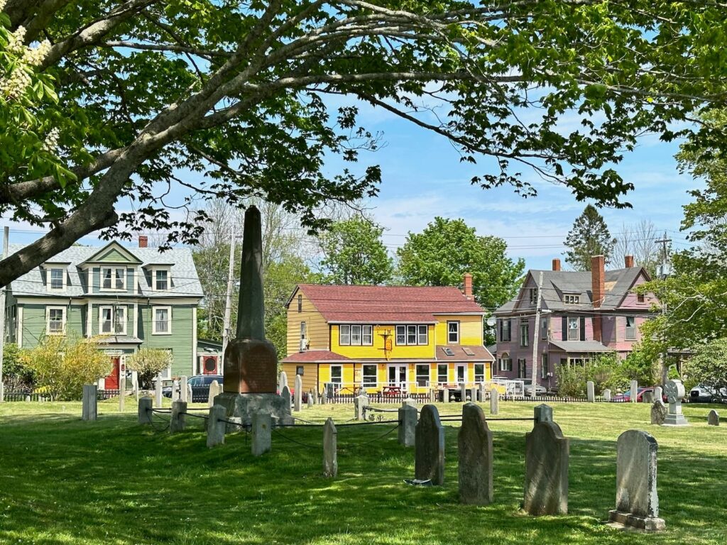
Annapolis Royal
Accommodation: Highbury Gardens RV Park
This campground was recommended to us by a local. It is just off the Harvest Highway (Rte 101) at Exit 12.
It is a very pretty campground, relatively small with grassed sites, picnic tables, firepits, electricity, water and sewer. Reception is on the ground level of a 2-storey home at the entrance to the grounds. Also on the ground floor of the building are the very clean bathrooms/showers (separate for men and women), laundry and common room. We were surprised to see that we had to pay to have a shower – CA$1 – but apparently this is not uncommon in Canada.
In the grounds there is a pool and a playground. It was very quiet during our visit. We had Site 17A, a little clear of trees so the Starlite Satellite will work – in fact, it worked very well.
There are no garbage bins in the grounds, but a dumpster at the front of the property on the left as we left.
Wolfville, Nova Scotia
This is a beautiful area and we can highly recommend it.
Wolfville is home to Acadia University and as a university town it has a great vibe. It is the centre of a growing wine industry and there a numerous vineyards to visit.
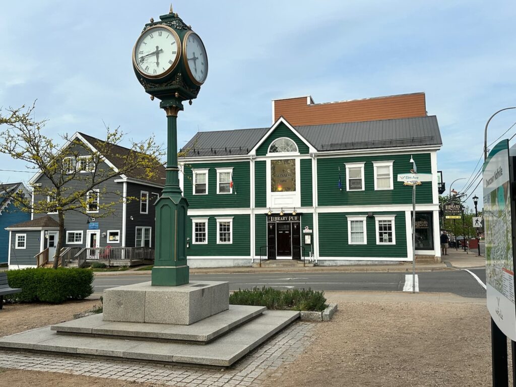
Wolfville
What to see and do:
- Grand Pre National Historic Site – a UNESCO World Heritage Site
The Acadians settled in this area in the 1680s, living harmoniously with the Mi’kmaq people. They created a series of dykes to reclaim the land from the sea and farmed the rich soil. Visit the information centre, exhibition and the adjoining park to learn the story of the Acadia people (French), their culture, their land and their tragic detention and deportation by the British in the 18th Century – the Acadians were forcibly evicted from their lands and dispersed around the world. We can highly recommend a visit. - Tangled Garden
One of our favourite places – three acres of beautiful, rustic, artistic gardens created by one woman – Beverly McClare – who started growing herbs to making delicious jellies and flavoured liqueurs – which you can purchase. It is all so photogenic, and the gift shop and little tearoom are gorgeous. There is a small entry fee to the garden which Beverly puts right back into her herbs. It is a labour of love. Highly recommended. - Wineries
There are numerous wineries around Wolfville and we managed to visit three:
– Lightfoot & Wolfville: organic biodynamic winery with beautiful views over Cape Blomidon and Bay of Fundy. We had delicious Arancini and an Antipasti Plate. Can highly recommend the Small Lot Kekfrankos Rose 2021.
– Luckett Vineyards: beautiful views over the valley and Bay of Fundy.
– Domaine de Grande Pris: oldest farm winery in Nova Scotia. Walk through the vines to the UNESCO View Park (Grand Pre Landscape), Le Caveau Restaurant.
We loved them all!
Other wineries in the area include Mercator Vineyards, Benjamin Bridge Vineyards, L’Acadia Vineyards, Gaspereau Vineyards, Blomidon Estate Winery, Planters Ridge Winery. Millstone Harvest Brewhouse do craft beers, cider and seltzers. - Magic Winery Bus – a good way to experience the wineries. Operates seasonally – usually May to October.
- Harvest Moon Trailway – cycle or hike this 110-kilometre (68 miles) trailway traversing the beautiful Annapolis Valley connecting the UNESCO World Heritage Site of Grand Pré to the pretty town of Annapolis Royal.
- If time permits, take a drive (20 minutes each way) to Blomidon LookOff for panoramic views across Annapolis Valley – opposite Look Off Camping/Look Lick Ice Cream. A pretty drive through Port William and Canning.
- The town of Wolfville has good restaurants and interesting shops – lovely for a stroll.
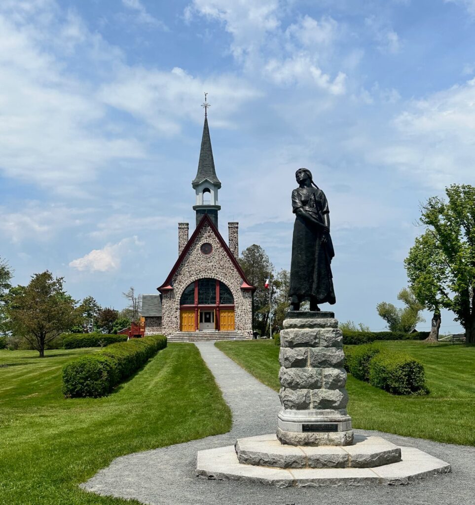
Memorial Church, Grand-Pre National Historic Site
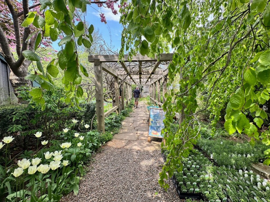
Entry to the Tangled Garden
Lunenburg – Mahone Bay – Peggys Lane, Nova Scotia
Next on our list to explore was the beautiful South Shore of Nova Scotia – Lunenburg, Mahone Bay, Chester and Peggys Cove. From Wolfville it is about a 1 hour 10 minute drive to Lunenburg along Rte 12.
Lunenburg, Nova Scotia
We stopped and parked at Lunenburg Visitor Information Centre – where the staff were very friendly and very knowledgable on Lunenburg and surrounds.
The Information Centre is located on a hill above the town and there is a carpark there where we were able to leave our RV. There is also a well located campground with wonderful views.
We picked up an excellent map of the town and set off with a walking tour itinerary.
Lunenburg is UNESCO World Heritage listed and is very beautiful – a must see and a highlight of our visit to Nova Scotia. It is a small town, so is walkable – there are many historic buildings.
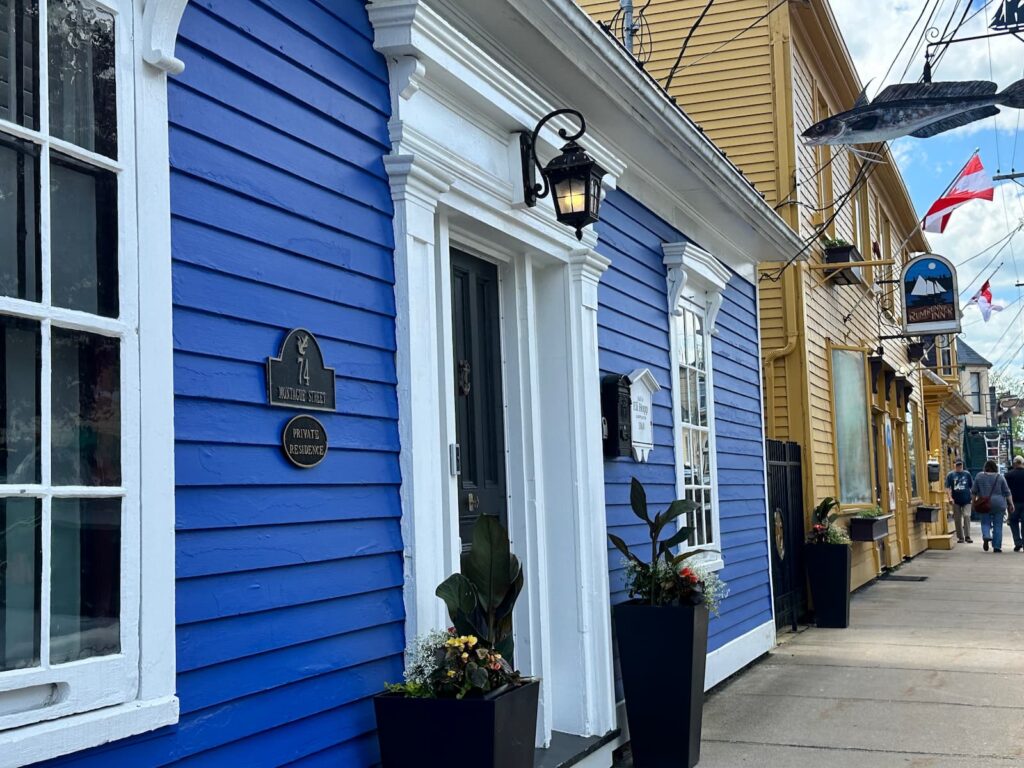
Historic Montague Street, Lunenburg
Recommended to see and do:
- The Academy – a grand 19th century building, operated as a school from 1895-2012. In the Heritage Interpretive Classroom learn about the history of the Academy.
- St John’s Anglican Church – the second oldest Protestant Church in Canada, 1754
- A piece of the Berlin Wall! See it on Falkland Street.
- Colourful buildings in King Street
- Knaut-Rhuland House – built around 1793, the only original house open to the public.
- Eateries along Montague Street overlooking the harbour – Fish Shack, The Half Shell, Salt Shaker Deli.
- Pick up the Lunenburg Art Map – a guide to local artists’ studios, art galleries and shops that showcase original art and fine craft.
- Stroll down to the lovely harbour – Harbour Tours, Whale Watching tours, Sailing Cruises, Deep Sea Fishing Charters – all booked from the little red building on the harbour
- Fishermen’s Memorial
- Bluenose & Bluenose II at the harbour. Bluenose appears on the Canadian 10 cent coin. It is famous as it was never beaten in the schooner races.
- Theresa E Connor – one of Canada’s oldest ‘salt box’ fishing trawlers.
- Visit Fisheries Museum of the Atlantic
- Good quality shops such as Seek Gifts & Home Décor
- Relax or have a picnic at Zwicker Wharf
- Stroll along the eastern end of Montague Street to the Ironworks Distillery.
- Drive to Tannery Road to get a great view of Lunenburg across the harbour.
- Take a drive to Blue Rocks – a beautiful fishing village (about 15 minute’s drive).
- Visit Le Have – take the free ferry across to Le Have, departs every 30 minutes (quarter past and quarter to the hour) – takes about 5 minutes to cross. The drive from Lunenburg to the ferry departure point is very pretty. The LeHave bakery is a big attraction – bread, local produce, Nanaimo bars.
- The Ovens Park – 15 minutes from Lunenburg, the Ovens Park has a Sea Cave Trail where you can walk along the spectacular cliffside to the famous sea caves (“ovens”). There are viewpoints along the way and you can enter the caves – Tuckers’ Tunnel, Indian Cave and Cannon Cave. Some of these caves were extended during the Gold Rush days of 1861. Try your hand at gold panning. Ovens Park also has cabins, camping and General Store.
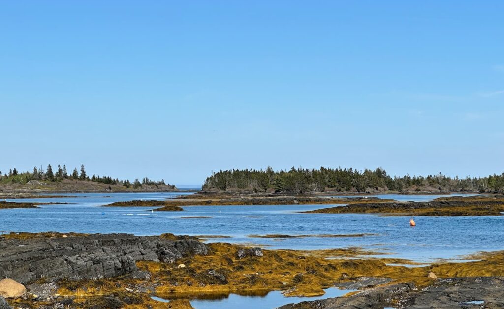
Coastal view, Blue Rocks
Mahone Bay, Nova Scotia
Stop at the Mahone Bay Visitor Centre, pick up a map and explore this charming village, probably best known for photographs of its three churches! There are some lovely gift shops and some excellent eateries. Amos Pewter has a shop here too.
Peggy’s Cove, Nova Scotia
From Mahone Bay we drove to beautiful Peggy’s Cove to see one of the most photographed light houses in Nova Scotia – Peggy’s Point Lighthouse.
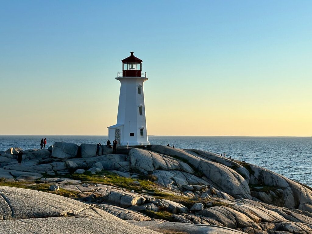
Peggys Cove Lighthouse
Peggy’s’ Cove is a pretty fishing village and very photogenic. To avoid the crowds it is best to go before 10am or after 4pm. Note: RVs are not permitted to park in the carpark near the lighthouse between the hours of 10am-4pm.
We recommend visiting the excellent Nova Scotia Visitor Centre at Peggy’s Cove as there is no Visitor Centre in Halifax.
Swiss Air Memorial – Flight 111
Not far from Peggy’s Cove is a memorial to Swiss Air Flight 111 Memorial. The flight crashed off this coast on 2 September 198 and tragically all 229 aboard lost their lives.
Accommodation: King Neptune’s Campground
The campground is just 3.5kms or 4 minutes drive to Peggy’s Cove. It is a beautifully located campground – right on the water – the sunsets are gorgeous. We had Site 42, full hook-up (electricity, water, sewer for CA$35). The showers are fairly basic but clean, 25c for 5 minutes, hot water. There is no laundry on site.
In the morning, we watched the little lobster boat out working on the bay – a very typical sight in May/June.
Halifax, Nova Scotia
Halifax is the capital of Nova Scotia and the largest town on the island.
Located on the Atlantic Ocean, Halifax has one of the largest and most important ports in Canada.
On arrival in Halifax, a good place to park is in one of the parking lots opposite Piers 21, 22 and 23 at the southern end of the Waterfront Walk, near the Seaport Farmers’ Market and the Immigration Museum. The lot we parked in was free (opposite piers 22 and 23).
From there we walked along the Waterfront Walk, through the city centre and to the Citadel.
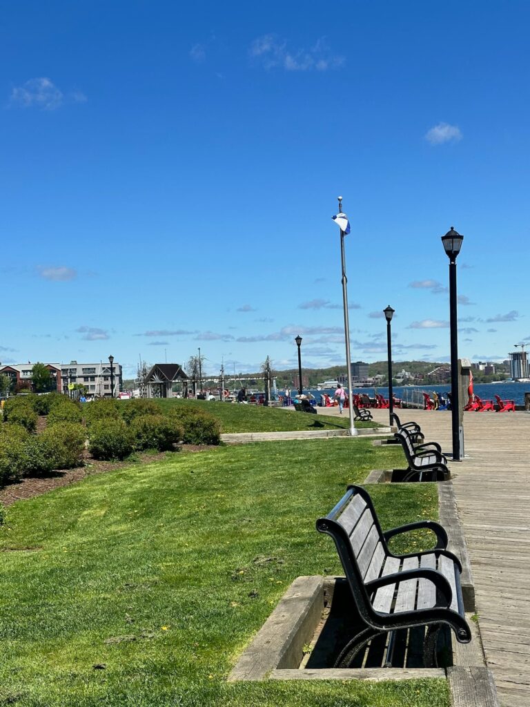
Halifax Waterfront
Recommendations in Halifax:
- Waterfront Walk – 4 kms of newly built boardwalk.
- Pier 21 Immigration Museum
- The Halifax Citadel National Historic Site
- Nova Scotia Art Gallery
- Farmers Market at Pier 23
Accommodation: Hyclass Ocean Campground
This campground is about a 3.5 hours drive from Halifax – on the way to Cape Breton National Park where we plan to drive the Cabot Trail. The campground is beautifully located, relatively small and overlooks the water. The hosts – Valerie and Dave – are friendly and take pride in the property, improving and upgrading facilities. They have lots of suggestions on what to do and see in the area and recommended a couple of good restaurants in the places we intend to travel to. There is also lots of information on the Notice Board near the bathroom facilities.
There is a selection of different campsite options available – tent sites and full hook-ups, under trees or in the open.
The washrooms (separate Men and Women) are newly refurbished and spotlessly clean. At the time of our visit the laundry has one washing machine and one dryer however there are plans to build a new, bigger laundry.
There is a beach made up of pebbles and oyster shells – sea shoes are sold at the campground shop.
Drive to Cheticamp, Cape Breton Island, Nova Scotia, Canada
From Hyclass Campground it is a two-hour drive to Cheticamp (from where we would start the Cabot Trail drive) on Cape Breton Island.
Cape Breton Island is part of Nova Scotia. It is a large island with much to see and many scenic drives. Our plan is to take the Ceilidih Trail, the Cabot Trail and back down to Port Hastings on part of the Bras d’Or Lake Scenic Drive.
From mainland Nova Scotia we crossed the Canso Causeway and the little green bridge to Port Hastings on Cape Breton Island. We recommend stopping at the Visitor Centre in Port Hastings and speaking to the friendly staff about what to see and do in the time you have in New Breton.
From Port Hastings we followed the Ceilidh Trail (Rte 19). It is a pretty drive to Cheticamp and we passed through Judique where there is a Celtic Music Interpretive Centre – like a pub inside, sit at tables and listen to live Celtic music on Sundays from 2-5pm.
We drove passed Cape Hood, Mabou, Glenory Inn Distillery (closed), the Red Shoe Pub (Ranking sisters), Inverness, Village of Margaree – where we joined Rte 30 and saw a sign ‘Cabot Trail’.
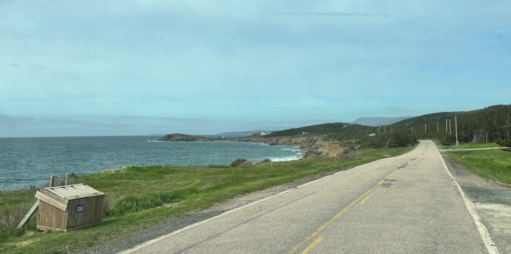
Rte 219 near Margaree Harbour
Cheticamp, Nova Scotia
Cheticamp is a charming community and the gateway to Cape Breton Highlands National Park.
Take a little time to see the sights in Cheticamp:
- Les Trois Pignons – a Hooked Rug & Homelife Museum, Visitor Information Centre
- Freya & Thor Gallery & Café – Folk Art Gallery featuring 80 artisans.
- Enjoy a delicious dinner at l’Albi restaurant
- Bread and pastries from Aucoin Bakery/Boulangerie
Cape Breton Highlands National Park
We visited the Cape Breton NP Visitor Centre to buy a pass for the Cape Breton Highlands National Park and picked up a map/hiking guide – we intended to drive that section of the Cabot Trail the following day. The pass was CA$15 for a 24-hour pass.
We also booked into their campground that offers electricity/water and a dump station.
Accommodation: Cheticamp Campground, Cape Breton Highlands National Park
The NP Campground is just outside the west entrance to the Cape Breton Highlands National Park and next to the National Park Cheticamp Visitor Centre.
It is a very attractive campground with excellent amenities – clean washrooms, plenty of hot water (free showers), fire pits, tent sites, full hook up available for RVs.
Cabot Trail
We mistakenly thought the Cabot Trail (Route 30) was just located in the Cape Breton National Park, however if you drove the whole Cabot Trail, you could start in Baddeck and drive a 298km loop, with just one third of the Trail and some of the most spectacular scenery running through the Cape Breton Highlands National Park between Cheticamp and Ingonish.
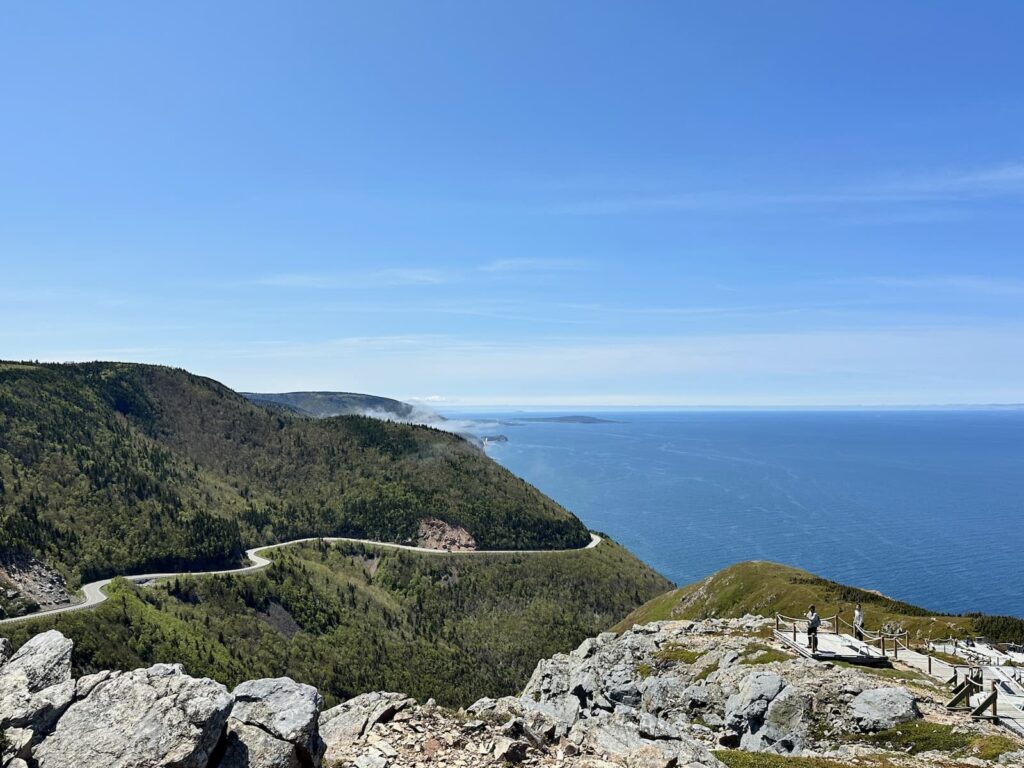
The Cabot Trail as seen from the Skyline Walking Trail
Cape Breton Highlands National Park section of the Cabot Trail
Unfortunately, there is not a guide to the pull overs in the Park and the pullovers are not named. To give you an idea of what we enjoyed, here are some recommendations:
- Overlook with plaque commemorating Canadian service men and women – wonderful view.
- Skyline Trail – while the views at the end of this walking trail are spectacular, it is a long walk on a mostly forested path to the viewpoint.
- Fishing Cove overlook.
- McKenzie Overlook.
- 10-minute walk at Lone Shieling to see re-creation of Scottish crofter’s hut and 400 year old sugar maple trees.
- Aspy Fault overlook.
- We left Cabot Trail at Cape North and drove to Bay St Lawrence, a small, quiet fishing harbour. Some nice views along the way, and at the Cabot Landing Picnic Park (beach/picnic spot). You can go onto Meat Cove, known for amazing views and campground – but it is a steep and narrow road. We joined Cabot Trail again at Cape North. The eastern section of Cabot Trail in the Park has rocky bluffs and shallow coves.
- Cabot Trail Coastal Loop – beautiful views along White Point Road and Neil’s Harbour Lighthouse
- Overlook looking back to Black Brook
- McKinnons Cove Overlook
- Green Cove
- Lakies Head pullover
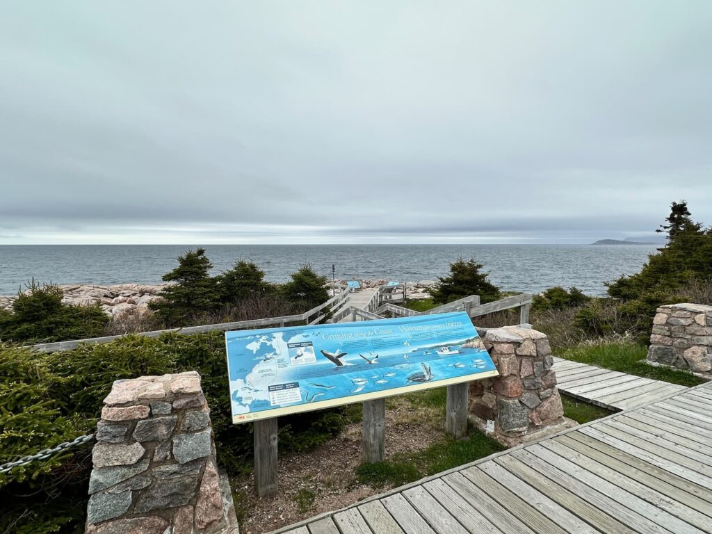
Lakies Head pullover on a misty day, The Cabot Trail
Observations about the Cabot Trail in Cape Breton NP
- The west side of the Cape Breton Highlands NP is beautiful and dramatic – the road is higher and there are sweeping views.
- The east side is also beautiful – pullovers are closer to the ocean.
- The road is wider than we expected.
- We found the prettiest sections of the Park were near Cheticamp and near Ingonish.
- The overlooks are not named.
- There are 26 designated hiking trails in the Park.
- Cell coverage is not good in the Park.
Ingonish, Nova Scotia
At Ingonish, the Cabot Trail leaves the National Park for a short distance, only to enter the NP again for a very short distance near Ingonish Beach where the National Park Visitor Centre is located. There are two NP campgrounds located at Ingonish – one at Ingonish Beach (no services) and the other at Broad Cove (electricity/water/sewer available).
Ingonish is not so much a town but it is a community stretching along North Bay and South Bay. In fact we drove through many signs – Ingonish, Ingonish Beach, Ingonish Harbour and Ingonish Ferry.
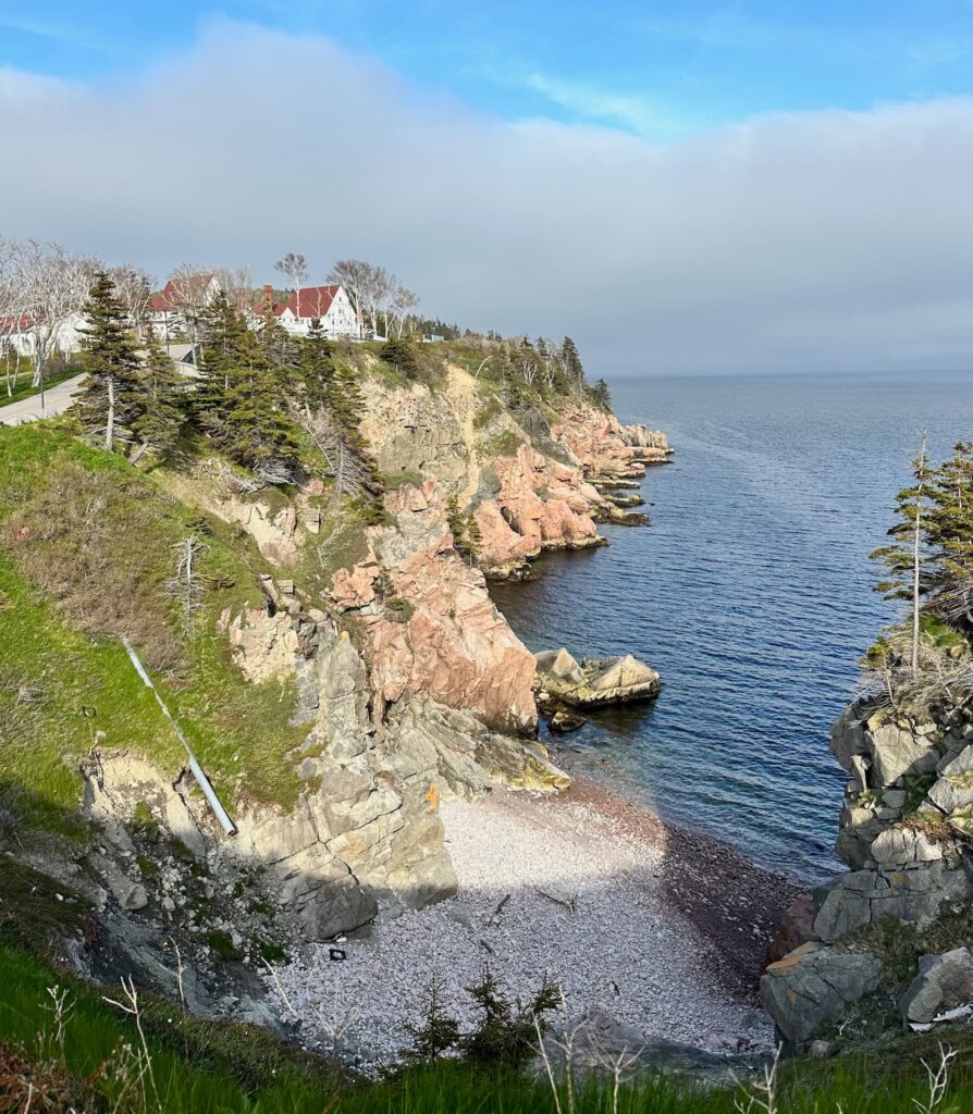
Keltic Lodge at The Highlands, Ingonish
There are some pretty spots here and nice cafes:
- Keltic Lodge – an historic resort in a beautiful location adjacent to Highlands Links Golf Course
- Middle Head Trail (accessible behind Keltic Lodge) – 2.8-mile trail along a narrow peninsula with lovely views
- Ingonish Beach
- Groovy Goat Farm & Soap Company
- Salty Rose’s & Periwinkle Café
Accommodation: Broad Cove Campground in the National Park, Ingonish
We stayed in Broad Cove Campground – a lovely campground. Good sites located in the open or under trees. There is a spotlessly clean heated shower/toilet block (free showers, plenty of hot water) and spotlessly clean laundry.
Drive Ingonish to Pictou (to take the ferry from Caribou to Prince Edward Island)
Beyond Ingonish we pass the Cape Smokey Gondola and wind our way over the cape and make a steep descent – in the mist! In normal conditions the view is spectacular.
Once over Cape Smokey there are some interesting places to see and some good cafes:
- Sew Inclined – Funky Hats & Clothing
- Wreck Cove General Store
- The Dancing Moose Café – delicious Dutch pancakes (savoury and sweet)
- Glass Artisans
- The Clucking Hen Café & Bakery – delicious muffins, sandwiches, etc – lovely views. Don’t forget to take your photo in front of the antlers!
- Cabotto Chocolate Shop
- Piper Pewter
- The Red Barn Restaurant & Gift Shop
- Farmer’s Daughter Country Store
- Iron Art Gallery
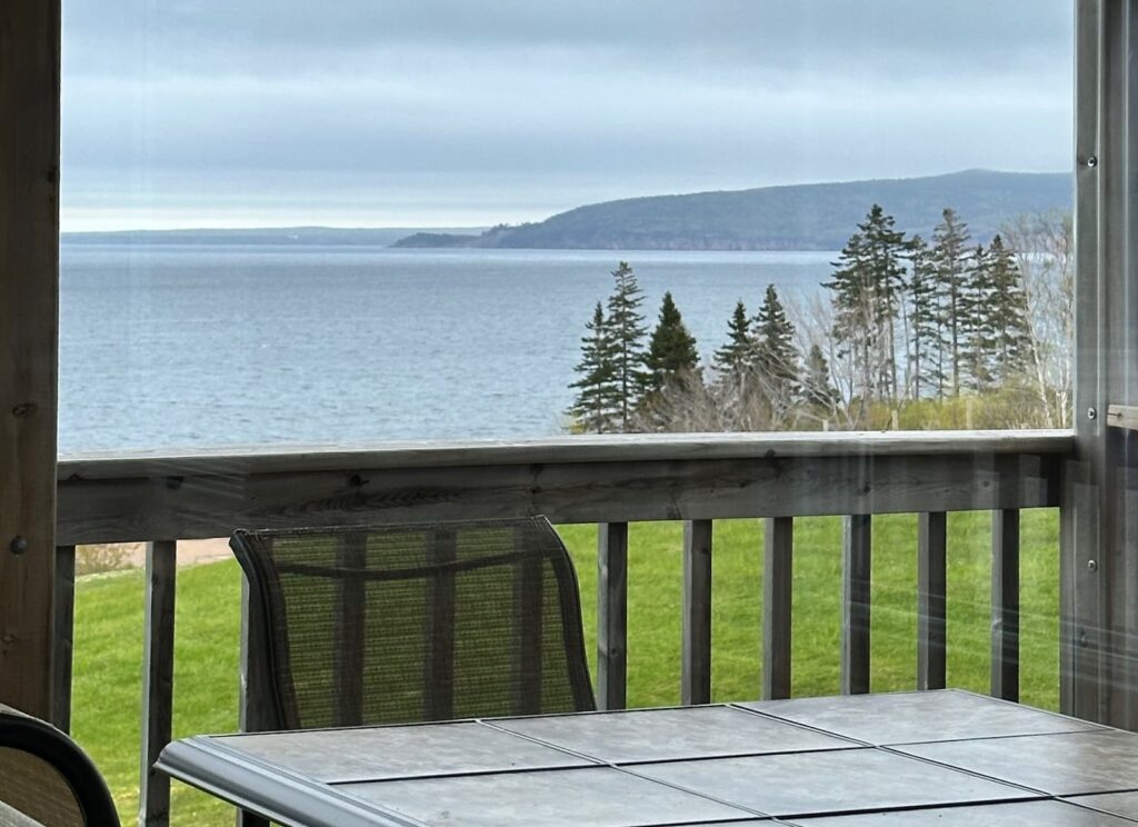
View from Clucking Hen Cafe & Bakery
Still on Route 30, it is a very pretty drive around St Ann’s Bay. At St Anns, Route 30 joins Hwy 105, the Trans Canada Highway which took us through Baddeck, where the Cabot Trail ends.
You might want to stop at Baddeck, to see the excellent Alexander Graham Bell Museum.
The weather deteriorated as we continued on Hwy 105, crossing the Canco Causeway.
If the weather had been fine we would have detoured off at Antigonish to take Rte 337 around Cape George through Malignant Cove, joining Hwy 105 at New Glasgow. Apparently, the coastal views are beautiful along that road but the day we were there was so misty we wouldn’t see anything.
We arrived at Pictou where we spent the night before taking the ferry from Caribou across to Wood Islands (PEI) the next day. The evening 7.30pm ferry had been cancelled due to high winds.
Accommodation: Harbour Light Campground, Pictou, Nova Scotia
The Harbour Light Campground is about an 8 minute drive to Caribou, from where the ferry departs to PEI. It was one of cheapest campgrounds we have stayed in – Site 75 (electricity and water) for CA$34.
It was pouring rain when we arrived and the owner greeted us (very friendly) in his pick-up and took us to our site – we had asked for a site where we would get good internet connection – and we did. We didn’t use the bathrooms or the laundry as the weather was so wet. Internet was very good. There were a lot of seasonal trailers in the campground.
Ferry to Prince Edward Island: Caribou (Nova Scotia) to Wood Island (PEI)
Getting to and from Prince Edward Island by car is either by taking a vehicle ferry or driving across the Coronation Bridge. Our plan was to take the ferry across to PEI, tour PEI and then leave via the Confederation Bridge (there is a toll on the bridge CA$50.25 for our RV).
The ferries are run by Northumberland Ferries Limited and take 75 minutes to cross from Caribou (Nova Scotia) to Wood Island (Prince Edward Island). We were advised to be at the ferry at least one hour before scheduled departure. The ferry is free. This is a busy ferry – lots of RVs, trucks and cars. The ferry departed at 12 noon and arrived at Wood Island just over one hour later.
The ferry we took was the MV Confederation – with 5 decks – 2 are for lounges. Deck D had an eatery.
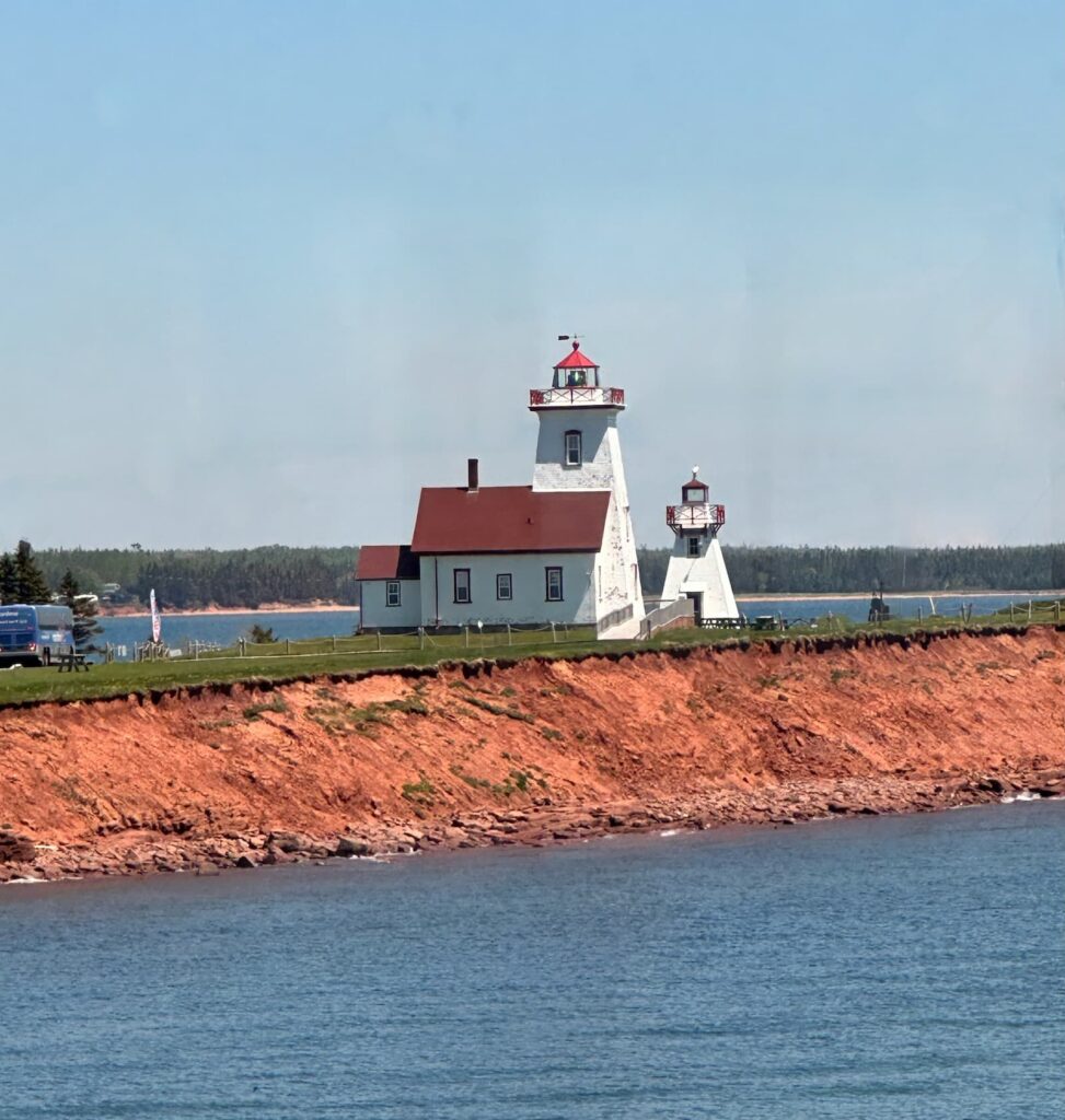
Wood Island Lighthouse, PEI
Prince Edward Island (PEI)
On arrival on Prince Edward Island, we visited Wood Island Visitor Information Centre – spoke to the friendly staff who provided us with an excellent map and highlighted points of interest on the Points East Coastal Drive and beyond. This is a summary of their recommendations for touring Prince Edward Island:
- Wood Island lighthouse
- Winery at Little Sands (Rossignol Wines)
- Cape Bear Lighthouse – the first to receive a distress signal from the Titanic
- Murray Harbour – nice restaurant there (Harbour View Restaurant)
- Murray River
- Panmure Island
- Montague (good for grocery shopping)
- Georgetown
- Cardigan
- Launching
- Sally’s Beach Provincial Park
- Souris – Visitor Info there
- (Bay Fortune – Inn at Bay Fortune and Fireworks restaurant)
- Basin Point Provincial Park – beach of ‘singing sands’
- East Point Lighthouse
- Elmira Railway Museum
- North Lake Harbour – pretty fishing village harbour
- Campbells Cove and Campbells Cove Campground
- Shipwreck Point/Naufrage – Shipwreck Lighthouse
- PEI National Park Greenwich – boardwalk over sand dunes – whole area pretty.
- North Rustico
- Cavendish
- New Glasgow
- Pretty drive between Cavendish and New London
- Park Corner – Museum on Anne of Green Gables
- Beautiful drive between Charlottetown and Kensington
- Charlottetown
- Orwell Historic Village
- Point Prim lighthouse – the oldest lighthouse on PEI
- Victoria
- Summerside
- Miscouche
- Cape Egmont (bottle houses)
- Cedar Dunes Provincial Park – beautiful beach and lighthouse
- O’Leary
- Skinners Pond – Stompin Tom
- Tignish
- North Cape
- Lennox Island
Have a look at the excellent website on what to see and do on Prince Edward Island.
PEI Provincial Park Campgrounds
If you intend to camp, it is a good idea to check the opening dates for the PEI Provincial Park Campgrounds. Unfortunately, none of the provincial park campgrounds were open during our visit in May. The 2024 open date was 7 June.
PEI Scenic Drives
There are three scenic drives on PEI:
While we did not have time to do all three drives, we decided to concentrate on the East Coast and Central Coasts of PEI.
Day 1 – Prince Edward Island
After lunch in the carpark at the Visitor Centre we drove along beautiful Rte 4 – green fields of dandelions, red earth ploughed paddocks – views down to the sea – wonderful.
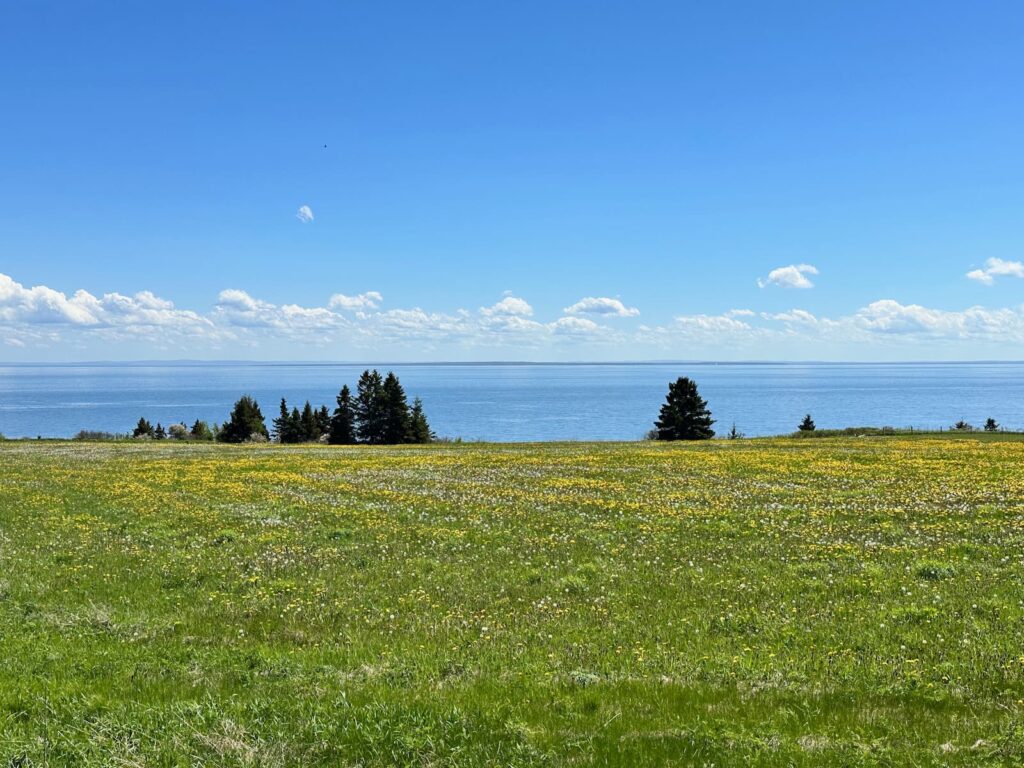
Views along Rte 4 near Wood Islands PEI
Highlights:
- Rosignol Wines
- Cape Bear Lighthouse – a little run down. First to receive distress signal from the Titanic.
- Murray Harbour – Harbourview Restaurant
- Murray River: pretty village
- Montague – one of the larger towns, great for grocery shopping.
Accommodation: Ocean Acres Cabins & Campground
Ocean Acres Cabins & Campground is a very pretty spot near Murray Harbour. The hosts/owners are a lovely young couple. We had a site right on the water with 20 AMP electricity/water ($CA55), a fire pit and picnic table. There is no sewer or dump station. We were close to the pool, bathrooms and laundry – all spotlessly clean. There are separate Men and Women toilets. The showers are separate little rooms with shower/basin/toilet/hairdryer – unisex. There is a restaurant on site but unfortunately closed on Tue/Wed during our visit.
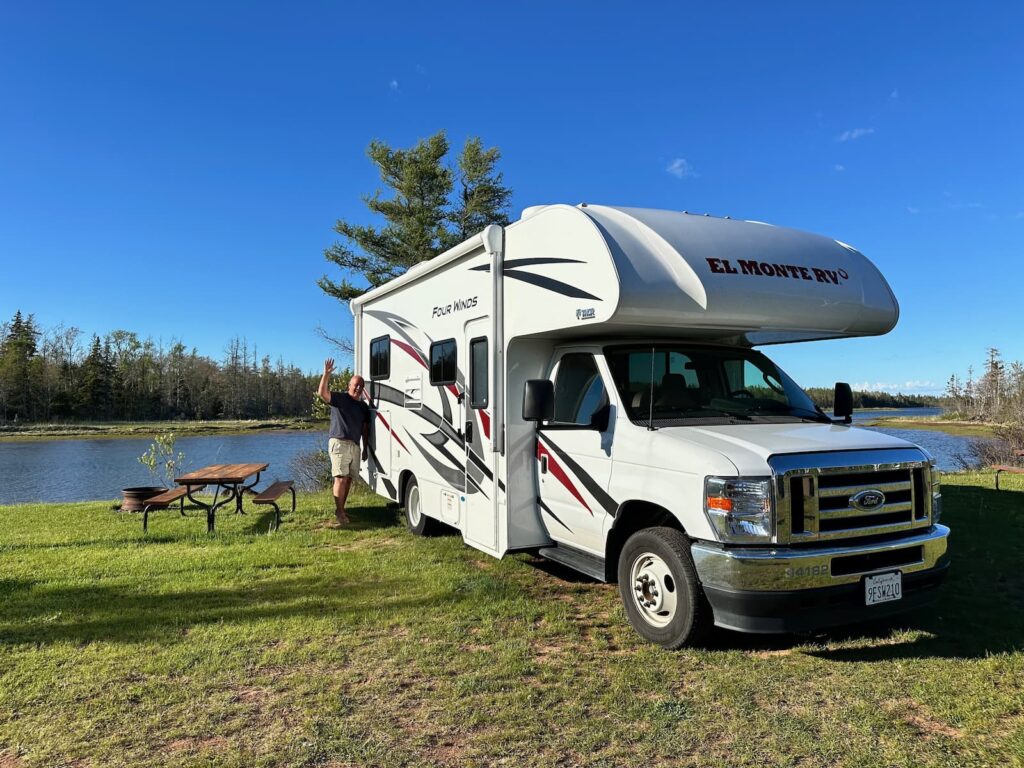
Ocean Acres Cabins & Campground, Prince Edward Island
Day 2 – Prince Edward Island – Points East Coastal Drive
We followed the Points East Coastal Drive – richly coloured red soil paddocks ready for planting potatoes, fields of dandelions, views of land meets the sea. There are red cliffs, sandy beaches, winding country roads, busy fishing harbours – it’s a beautiful drive:
- Panmure Island – pretty drive, cross a causeway and see beautiful lighthouse, lovely sandy beach.
- Montague – service town with supermarkets, etc.
- Georgetown – lovely heritage buildings, busy fishing harbour, Maroon Pig bakery and art – Stacey does the baking and her husband is the artist.
- Cardigan
- Launching Pt fishing port
- Sally’s Beach Provincial Park – although park closed, we stopped above beautiful beach with lovely views of surrounding farmlands to have a picnic lunch.
- Bay Fortune – beautiful views along bay. Inn at Bay Fortune: beautiful views, accommodation, gardens – known for chef Michael Smith’s ‘Fireworks Feast’.
- Souris – beautiful historic lighthouse.
- Basin Head Provincial Park – beach and Fisheries Museum.
- Beautiful East Point Lighthouse built in 1867.
- North Lake Harbour – ‘Tuna Capital of the World’ – a small village with a busy harbour.
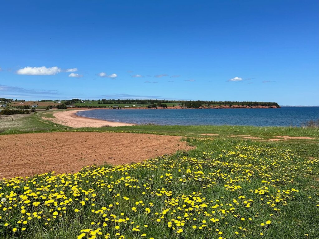
Sallys Beach Provincial Park, PEI
Accommodation: Campbell Cove Campground
This is a relatively small campsite in a wonderful location above a sandy beach. Beautiful sunsets. Basic bathroom and laundry facilities. We had a site with water and electricity.
Day 3 – Prince Edward Island
Naufrage Harbor (Shipwreck Lighthouse)
This is a busy little working harbour with a lovely red and white lighthouse.
Greenwich Interpretative Centre, Prince Edward Island National Park
Closed during our visit but normally a good place to begin your visit to this National Park.
Greenwich Beach
Worth the short drive (about 3 mins) from the Interpretative Centre. Park in the carpark and take the lovely boardwalk to beautiful Greenwich Beach. Change rooms and picnic tables, inside room gauzed off looks nice for picnic.
Greenwich Dunes
A little further on from the Interpretative Centre there is a large carpark and the trailhead for the walk to the Greenwich Dunes. The trail begins on a gravel path then onto a boardwalk – views on one side of water. After walking a short way along the main path, the trail splits into two:
- Tlaqatik Trail
- Greenwich Dunes – Floating Boardwalk
We took the Greenwich Dunes trail – beautiful and highly recommended.
St Peter’s Bay
We stopped at a colourful group of shops overlooking the bay for an ice cream at DJs Dairy Bar. There are some attractive gift shops here and other places to eat (pizza, seafood).
It is then a beautiful drive to Dalvay by the Sea and we enter the NP again (no fee as toll huts closed).
Dalvay by the Sea
We made a stop at this beautiful old home, now a guesthouse. It has a wonderful cozy atmosphere with lounges and fireplaces, a bar, a restaurant. For the warmer weather there is a verandah with views across the water. The beach is just over the road.
Covehead Harbour Lighthouse
A beautiful little working lighthouse on the sand dunes. Very photogenic.
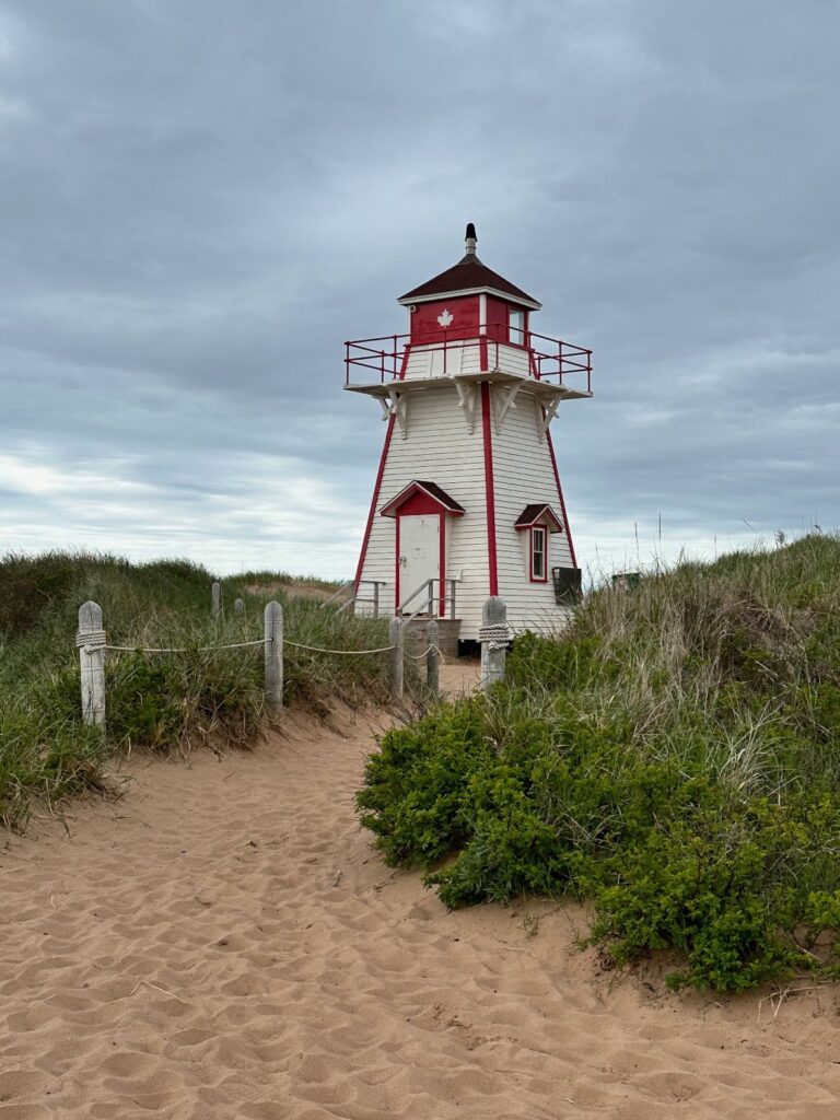
Covehead Harbour Lighthouse, Prince Edward Island
The Dunes Fine Crafts
It is worth stopping at this gallery. The first section has local art, crafts, etc and the second section has fashion, gifts, furniture, etc from Indonesia. Lovely garden and views from the back of the gallery. In season there is a café.
North Rustico
Another harbour of lobster boats. There is a beautiful walk here along the waters edge. There are some rustic buildings at the eastern/beach end of the boardwalk – gift shop and café. In the centre of the village there is a small supermarket and a bakery. Very friendly little town. Lots of accommodation and lovely views here.
Accommodation: KOA Holiday Cavendish
The entrance to this campground is down a gravel road lined with trees – very pretty. We receive a warm welcome from the staff and have a level site 133 with electricity/water/sewer, picnic table and fire ring. This is a lovely campground. The bathrooms are spotlessly clean. It has hot water and is free. There is a large laundry at the back of the Reception building. There is a bouncy/trampoline and playground for children + hay rides + a program of activities.
Day 4 – Prince Edward Island
There is a lot to see on Day 4 so recommend an early start. This day was mostly about Anne of Green Gables!
Lucy Maud Montgomery’s Cavendish Homestead
This is the site of the home where Lucy Maud Montgomery (LMM) grew up and where she wrote the book ‘Anne of Green Gables’. A bookstore has been built on the property – a simple, rustic building that houses copies of Lucy’s publications and some mementos of her family.
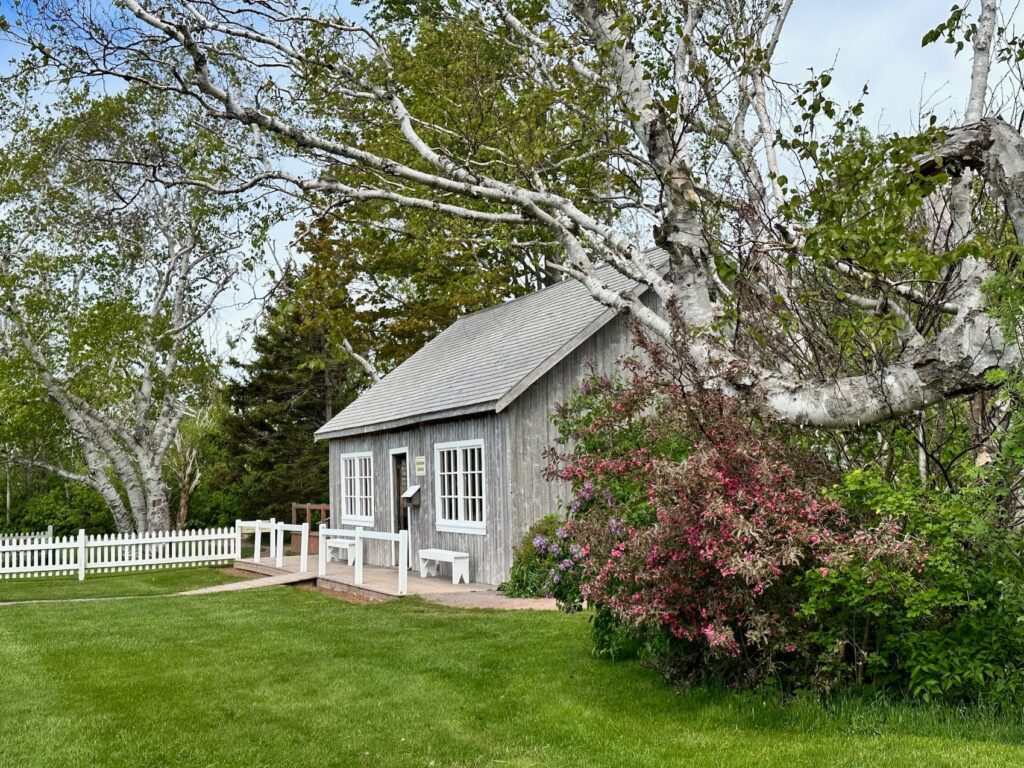
Site of L.M. Montgomery’s Cavendish House, Cavendish
The original house is no longer standing but from the bookstore you can take a walk along a pathway through the grounds to see the foundations of the house. There are very interesting information boards along the way,
LMM came to live here when she was just 21 months old, after her mother died of TB. This was her grandparent’s home.
Her grandparents ran the Post Office – initially out of their kitchen. Lucy worked in the Post Office and was inspired to start writing by the stories that the customers would tell her.
Her first story was about the Marco Polo which was shipwrecked off the coast of Prince Edward Island and the captain of the ship came to live with them for a time.
Lucy wrote Anne of Green Gables in her 20s but it was rejected five times before being published in 1908 by LC Page publishers in Boston.
LMM wrote four books on this property.
She became engaged while living here and was engaged for five years as she didn’t want her ailing grandmother to be worried by planning a wedding. Lucy was married in 1911, the same year her grandmother died. She left when she was in her 30s and moved with her husband, a Presbyterian minister, to live in Ontario where they had two sons – one became a doctor and the other a lawyer.
Lucy Maud Montgomery wrote 20 novels in all as well as poetry, short stories and many submissions to various journals. There are five volumes of selected journals for sale in the bookstore plus copies of LMMs books.
The bookstore was built on the property in the 1970s and as well as selling books, houses many artefacts from LMMs life.
I spoke with Caraline, one of the staff at the bookstore, who was so knowledgeable, friendly and helpful. She obviously enjoys what she does.
It is a beautiful property and well worth a visit.
Green Gables Heritage Place
This property is nearby to Lucy Maud Montgomery’s Cavendish Homestead. The ‘Haunted Woods’ path links the Green Gables Heritage Place with the Cavendish Homestead.
Green Gables Heritage Place came under Parks Canada in the 1940s. On this site is the house that was owned by Lucy Maud Montgomery’s grandparent’s cousin. Lucy used to visit often by walking through the woods. The house was the inspiration for the home where her character Anne lived in Anne of Green Gables.
Begin your visit at the Visitor Centre where a small fee is charged. There is an informative exhibition on Lucy at the Visitor Centre, as well as a Gift Shop and Café.
The Green Gables house is the main attraction here. It is beautifully preserved and has been decorated in keeping with Lucy’s descriptions in the book ‘Anne of Green Gables’. Some of the furniture is originally from the house – eg the organ, the dining room setting.
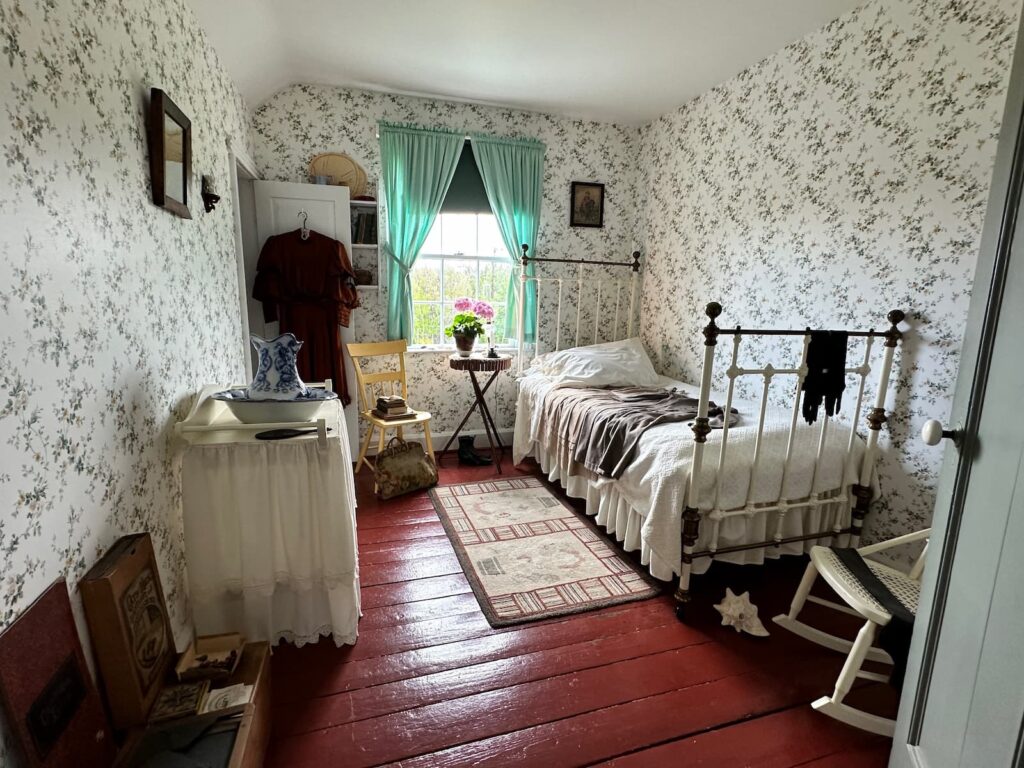
Bedroom, Green Gables Heritage Place, PEI
There are Parks Canada staff in the house to answer any questions you might have.
There are two trails at the house – the Balsam Hollow/Lovers Lane Trail and the Haunted Woods Trail connecting visitors to Cavendish Cemetery (where Lucy is buried), Montgomery Park, and LM Montgomery’s Cavendish Home.
Can highly recommend a visit to this special property.
Prince Edward Island Preserve Company, New Glasgow, PEI
Don’t miss a visit to this wonderful store and beautiful café.
PEI Preserve Company started 30 years ago with their Strawberry and Grand Marnier preserves and now produce scores of different flavoured preserves, chutneys and sauces. Their latest product is the Haskap Berry preserve made from local haskap berries which contains 3x more antioxidants than blueberries!
Customers can taste test before buying.
Don’t leave before having a meal in the Café – delicious food served in a pretty setting. We had their speciality – the Preserve Co Potato Pie served with a Rustic Salad, followed by Raspberry Cream Cheese Pie. Yum!
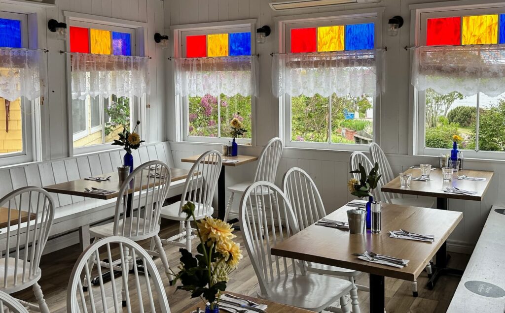
Prince Edward Island Preserve Company Cafe, New Glasgow, PEI
Lucy Maud Montgomery Birthplace – New London
This simple timber green and white house in the village of New London is where LMM was born. New London has a lovely little harbour with lobster boats and colourful huts.
French River
We stopped at this pretty fishing harbour where we met a local fisherman. It is lobster season – fishermen can fish for lobster from 30 May to 30 June, and each fisherman is allowed 300 traps. Their day starts at 4.30am! We saw and heard lobster boats wherever we went on PEI.
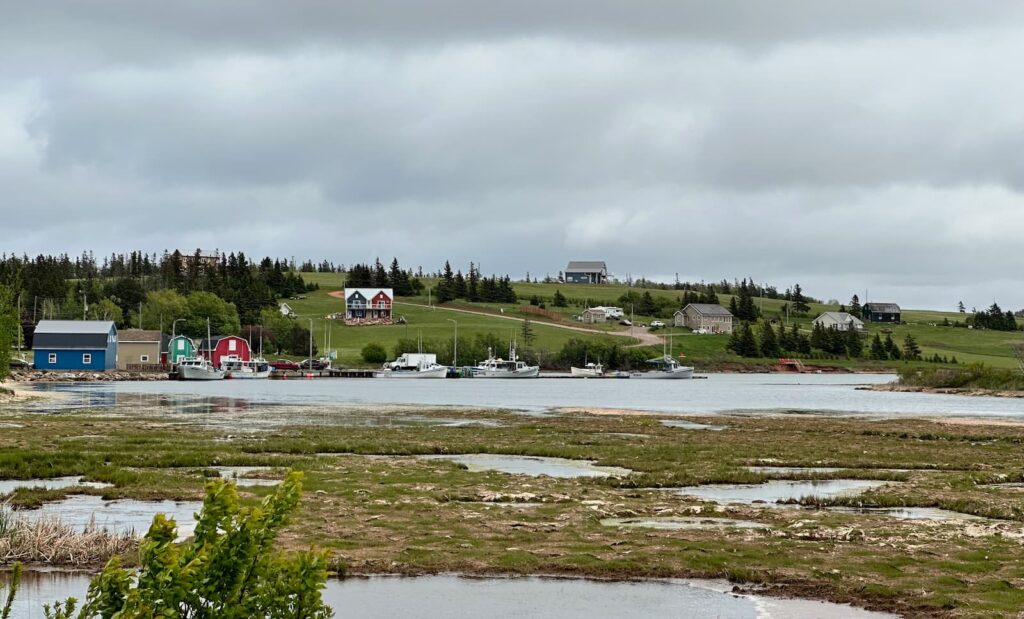
French River, PEI
Anne of Green Gables Museum, Park Corner
The Anne of Green Gables Museum is housed in a home that belonged to Lucy Maud Montgomery’s aunt and uncle John and Anna Campbell. The aunt was Lucy’s mother’s sister. The Campbell family are still the current owners – the property has been in the family for over 200 years. The family still lives in the house today (their rooms are closed to the public).
LMM used to come here before she was married, and stayed for long visits. Her room is as it was when she stayed in the 1940s.
LMM was married here in the living room in front of the hearth. In fact many people request to be married here today.
Four of LMMs books were written here. The blue trunk, referred to in one of LMMs books (‘The Story Girl’), is in the entrance hall. Some of the contents of the trunk can be seen upstairs.
The Anne of Green Gables Museum is closed in the off season, however if you want to visit see the museum, you can call ahead to arrange a visit.
There is an admission fee payable at the entrance to the museum. There is also a gift shop in a separate building on the property.
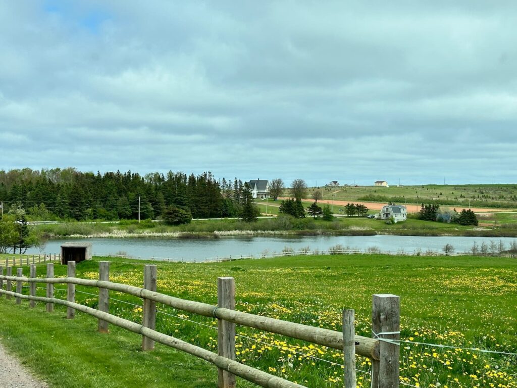
Campbell’s Pond (‘Lake of Shining Waters’), Anne of Green Gables Museum
Charlottetown, PEI
Charlottetown is the capital of PEI and the largest town in the province.
We recommend beginning your visit at the Charlottetown Visitor Information Centre.
There is a large carpark opposite the Visitor Centre (paid parking, reasonably priced, maximum CA$11/day). On one side of the carpark is the Visitor Centre and the other side is Peake’s Wharf.
The Visitor Centre is located on the waterfront in the Founders Food Hall & Market. There are several food outlets in this attractive building as well.
We spoke with the lovely Keira at the Visitor Centre who gave us a map and recommended a walking tour of the town – very compact and in walking distance from the Visitor Centre.
It was cold (10 degrees Celsius), sprinkling rain and breezy but we wanted to see Charlottetown so we set off on the suggested walk. The streets were very quiet and the lovely outdoor restaurants and bars empty however we could see that Charlottetown was a charming town – the waterfront, historic district and downtown area – all easily walkable too. We did a loop walk from the Visitor Centre and back.
Highlights:
- Great George Street – heritage houses.
- St Dunstan’s Basilica
- Victoria Row – this street becomes a pedestrian area from May to October and is lined with charming pubs and restaurants with outdoor seating.
- Queen Street – the main shopping street.
- Confederation Square – art gallery.
- Peake’s Wharf – floating dock with eateries, souvenir shops.
- Beaconsfield Historic House – not included on our walk as it was closed – a Victorian residence built in 1877 for James Peak, a wealthy shipbuilder.
- We walked back along the harbour front around the PEI Convention Centre.
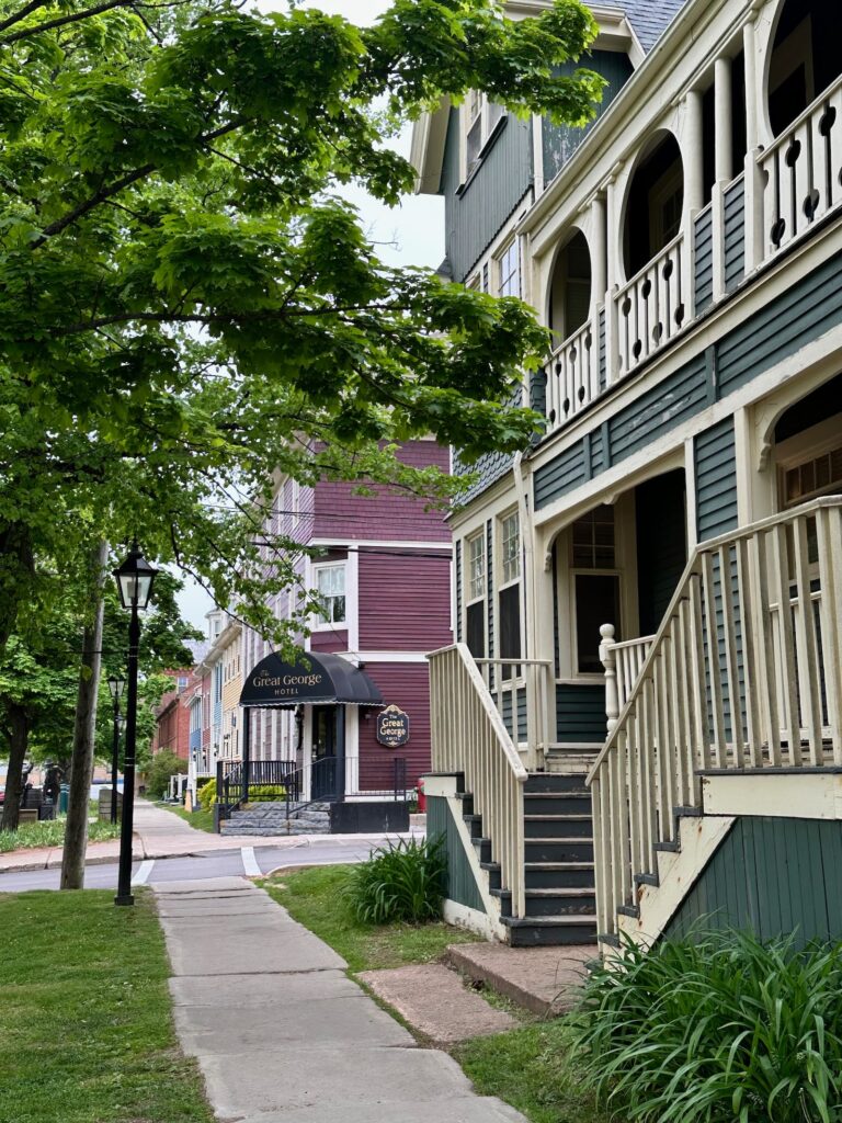
Heritage Houses on Great George St, Charlottetown, PEI
Accommodation – Holiday Haven Campground.
This campground is about a 15 minute drive from Charlottetown. We had Site 636, CA$66.07 – a waterfront site. It is a well-run campground with very good facilities. Bathrooms are very clean. One block was a traditional Men and Women separate showers and toilets. The other block near Reception had small separate bathrooms for Men and Women that featured a shower, basin and toilet.
Leaving Prince Edward Island to drive to Edmundston (New Brunswick)
From Charlottetown we drove to the very charming village of Victoria by the Sea. We were headed for Quebec and hoped to make it to Edmundston for the night.
Victoria by the Sea, Prince Edward Island
Only a 30-minute drive from Charlottetown, Victoria by the Sea is not to be missed! It is such a charming town – with colourful clapboard houses, tree lined streets and a harbour with a couple of seafood restaurants on the wharf – it is very pretty. We loved Island Chocolates, a family-run business serving coffee, desserts, and handmade chocolates.
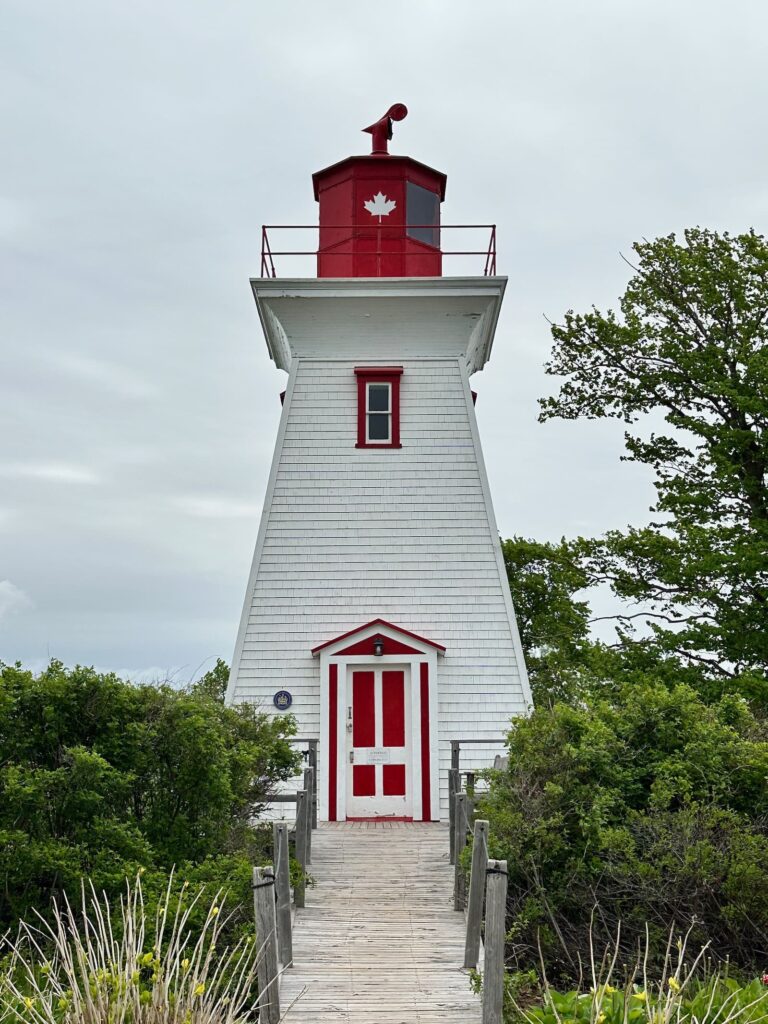
Victoria Seaport Lighthouse, PEI
Confederation Bridge
Leaving PEI we drove across the magnificent 12.9 km Confederation Bridge, paying a $50.25 toll. Once on the other side, we took a right turn to Cape Jourimain. Follow the road around under the bridge and you get a great view of the bridge. We continued a little further and paid the CA$10 to enter the carpark at the Cape Jourimain Nature Centre. In the Centre there is a lovely craft shop with quality crafts (jewellery, woollen products, etc) by local artists and a café. Don’t miss the Interpretative Centre where there is an excellent exhibition on the history of the area and Confederation Bridge, then climb the viewing tower for a birds-eye view of the bridge, or walk to the lighthouse for a great photo of the lighthouse and the bridge, or take one of the nature trails.
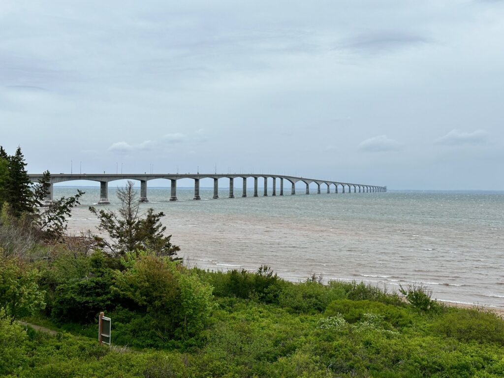
View of Confederation Bridge from Cape Jourimain Nature Centre
After the interesting stop at Cape Jourimain, we drove along the Trans Canada Highway though New Brunswick – very scenic with vistas of farming land, forests, lakes and rivers – until we reached Edmundston.
Accommodation: Republique Provincial Park, Edmundston, New Brunswick
We loved this provincial park campground and received a very friendly welcome. The camp ground is open 24 hours a day in season. Most of the sites are between the trees and are very pretty and private, and each has a picnic table and fire grill.
We had Site 55 with electricity and water for CA$42/night. There are separate Men and Women bathrooms. Showers are free and there is plenty of hot water. There is a laundry in the building where the swimming pool is (pool closed during our stay as too early in season). Lots of activities – see their web site for details. The pool and park (other than campground) is open to the public to enjoy.
Drive Edmundston to Quebec City, Canada
We left the Republique Provincial Park Camping ground headed for Quebec City.
We soon saw the ‘Welcome to Quebec’ sign and the clocks changed – an hour earlier – and all the signs were now in French!
We drove via Lake Temiscouata – lovely views over lake, pine covered hills, farmlands. It is a very good road.
Riviere du Coup – Recommendation in hindsight:
There is a ferry from Riviere du Coup to Saint-Simeon – we recommend taking that and travelling down the northern side of Saint Lawrence River – a more scenic route and with stops at Sainte-Anne-de Beaupre and Montmorency Falls and Ile d’Orleans on the way to Quebec City.
After crossing the Pierre Laporte Bridge, we followed the St Lawrence River to Quebec City, driving along the attractive Samuel-De Champlain Promenade – the park along the river with walking track, a beach and lovely landscaped areas.
Taking a car into Quebec City is not recommended especially an RV! The streets are narrow and parking is hard to find.
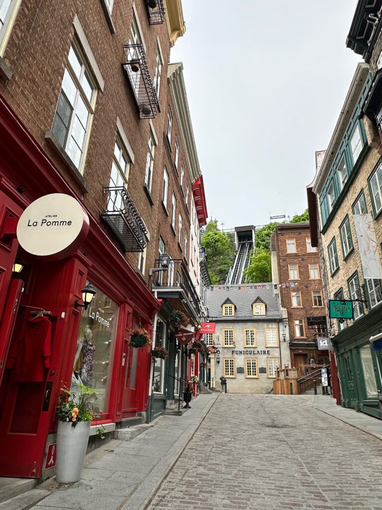
The streets of Quebec City are narrow and it is hard to find parking
KOA Quebec City
The campsite is just off the Trans-Canada Highway. We received a friendly welcome. Reception has a large store with lots of basic items and some souvenirs.
It is a very good campground and well looked maintained. There are attractive cabins, a lovely pool area and playground. Some sites under trees and some in the open.
The campground is a long narrow strip of land, and our site was at the back of the land – Site V2 – away from the highway. Sites have a picnic table and fire pit. The more expensive sites have outdoor furniture. Most tent sites are at the back of the campground, furthest away from the highway.
Laundry
The laundry is in a building behind Reception. It is a very big laundry room, immaculately clean. There are 11 washing machines (10 top loaders, 1 front loader) and 9 dryers. Some look brand new. It is CA$2.50 (2xCA$1 + 2×25 cents) for a washing load (a little more for a hot wash), and the dryers are CA25 cents for every 5 minutes. There is plenty of bench space with a long bench in the middle of the room, and a bench on the side with a one-and-a-half style sink. There is also a long bench with stools (with backs) to sit while waiting for laundry. There is a bookshelf full of books. It is one of the best laundry rooms we have seen on our travels.
Bathrooms
There are two-bathroom blocks – both spotlessly clean. Men and Women separate. Lots of showers and lots of toilets in each block. There is even a baby bath in one of them. Lovely free hot showers that work properly and plenty of space in shower cubicles.
Swimming Pool
The swimming pool is particularly lovely – the owners have taken pride in the landscaping and outdoor furniture in that area. There is also a separate spa pool.
Free Shuttle to Quebec City from KOA
The KOA Campsite is a 25-minute drive from Quebec City. The park offers a free shuttle in a Mercedes van departing 9am and returning 4pm. We used this fantastic service and even after giving the driver a tip, it was much cheaper than catching an Uber. The drop off/pick up point in Quebec City is conveniently located in the lower town close to the funicular or stairs up to the Old Town.
Quebec City, Canada
We spent a day in Quebec City and loved it. The old city (Vieux Quebec) is unique in Northern America – it feels like France.
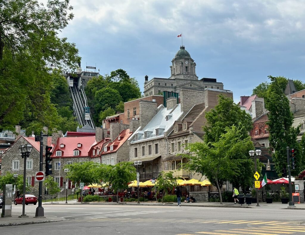
Lower Quebec City
The area of most interest to tourists visiting Quebec City is historic Old Quebec, which is a UNESCO world heritage site and is divided into:
- Upper town (haute ville): historically British area, citadel, city walls
- Lower town (bas ville): the oldest area, historically French area, waterfront.
Quebec City is built on a plateau and the lower town is connected to the upper town by a funicular or stairs.
Highlights of Upper Town:
- Call into the Visitor Information Centre – just across from the top of the Funicular in Upper Town for a map and suggestions on how best to spend your time.
- Free Walking Tour with tour guide Samuel Dubois – a walking tour through the upper and lower town by a knowledgeable guide with a lovely sense of humour. Highly recommended. Tours are 10am and 2pm. Samuel also offers a ‘Quebec Like a Local’ tour at 5.30pm through La Roch – the hipster area of Quebec City.
- Fairmont Le Chateau Frontenac (1892-93) – wonderful historic hotel built by the Canadian Pacific Railway Company as luxury accommodation to encourage wealthy travellers to travel by train. Take a one-hour guided tour to learn about the history, architecture, and the many famous people who have visited or stayed in the hotel. Roosevelt and Churchill met here in 1943 and 1944 during WWII. Visitors can enjoy afternoon tea in the Dufferin Restaurant, Thu-Sun 2pm, reservations advisable.
- Stroll the Dufferin Terrace – very wide boardwalk in front of Chateau Frontenac – wonderful views across St Lawrence River.
- Below the Dufferin Terrace is the Saint-Louis Forts and Chateaux National Historic Site – an archaeological site.
- Climb the 310 steps to walk La Promenade des Gouverneurs
- Continue on Promenade des Gouverneurs to the Citadel and walk on or alongside the city wall (during our visit in June 2024 there was a lot of construction on the city wall). If the Citadel is of interest the only way to see inside is to take a guided tour which can be booked online.
- Visit the Plains of d’Abraham – public park/green space where the 1759 battle between French and British took place.
- Visit Museum of d’Abraham to learn about the battlefields.
- Parliament building (1877-86) – take a free guided tour (one hour) of the Parliament or do a self-guided tour (about 30 minutes). There is an excellent restaurant on top of the parliament building – Le Parlementaire.
- Tourny Fountain in front of Parliament building.
- Porte Saint Louis – beautiful gate on city wall – see the monuments to Churchill, Roosevelt and Ghandi.
- Morrin Centre – originally a prison but now houses a beautiful French library – Quebec Literary & Historical Society – unfortunately on strike during our visit but normally open for tours which can also take in the prison cells.
- Just across the street from the Morrin Centre is the Maison de la Litterature – located in a former 19th century church – open to the public free of charge.
- The only ‘skyscraper’ within the walls of Old Quebec – the Price Building 65 Rue Sainte-Anne. Opposite is the Town Hall.
- The oldest house in Quebec City is nearby at 34 Rue Saint Louis – now a restaurant – Aux Anciens Canadiens.
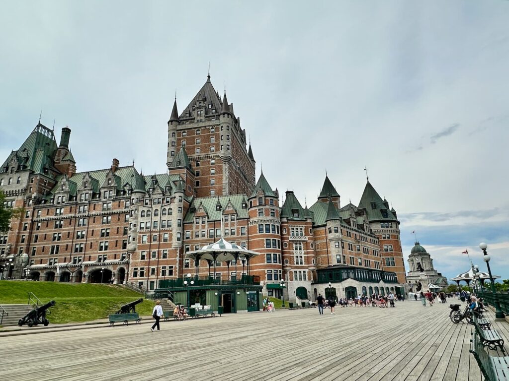
Le Chateau Frontenac, Quebec City
Highlights of the Lower Town:
- Rue du Petite Champlain – named by Architectural Digest as one of the world’s most beautiful streets.
- Place Royal – where the city of Quebec was founded in 1608 by Samuel Champlain.
- Notre-Dame des Victoires Church (1688) – the oldest church in the province.
- Don’t miss the beautiful mural – La Fresque des Quebecois on Rue Notre Dame.
- Café La Maison Smith on Place Royal – for good coffee and pastries.
- Museum of Civilization
- Lots of restaurants along Rue du Marche-Champlain – we had a delicious lunch at Cochon Dingue – highly recommended.
- Café du Monde – a Parisian-style bistro on the waterfront at Pier Quai 22.
- Samuel-De Champlain Promenade a thin strip of landscaped park with cycling/walking track along the St Lawrence River.
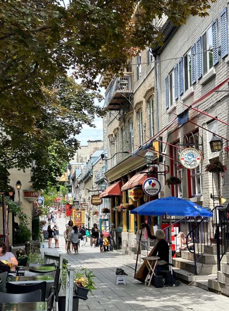
Le Petit Champlain, Quebec City
A good resource for visiting Quebec City is the Quebec City Tourism Official Website
If time permits there are a couple of worthwhile places to see close to Quebec City.
Cote de Beaupre
On the northern side of the St Lawrence River is the Cote de Beaupre. There is much to see along this historic route. Pick up a map at the Quebec City Tourist Information Office. The two most visited sites are:
- Montmorency Falls – a 20-minute drive from Quebec City takes you to Montmorency Falls Park. The Falls are 83 metres high – higher than Niagara Falls!
- Sainte-Anne-de Beaupre – the St Anne Basilica : St Anne (the grandmother of Jesus) is the patron saint of Quebec. This Basilica is a pilgrimage site attracting people from all over the world seeking the miraculous healing powers of St Anne. It is a beautiful basilica known for its stained glass windows, mosaics, paintings and sculptures. There is a river shuttle from the Old Port at Quebec City to the town of Sainte Anne de Beaupre from June-August.
Ile d’Orleans
It is just 10 minutes from Quebec City to the bridge that connects the mainland to Ile d’Orleans, 20 minutes to the town of Sainte Petronille, and 30 minutes to Saint Jean. An excellent guide to this historic island can be found at The Best Spots to Visit on a Tour of Ile d’Orleans website.
Quebec City to Montreal
It is about a 2.5 – 3 hour drive from Quebec City to Montreal. We drove along the Trans-Canada Highway – not a scenic route – lots of light industry, mixed with farms.
Montreal, Canada
With just a short time in Montreal we did a Free Walking Tour of Old Montreal. We heard about the history, architecture and life in Montreal.
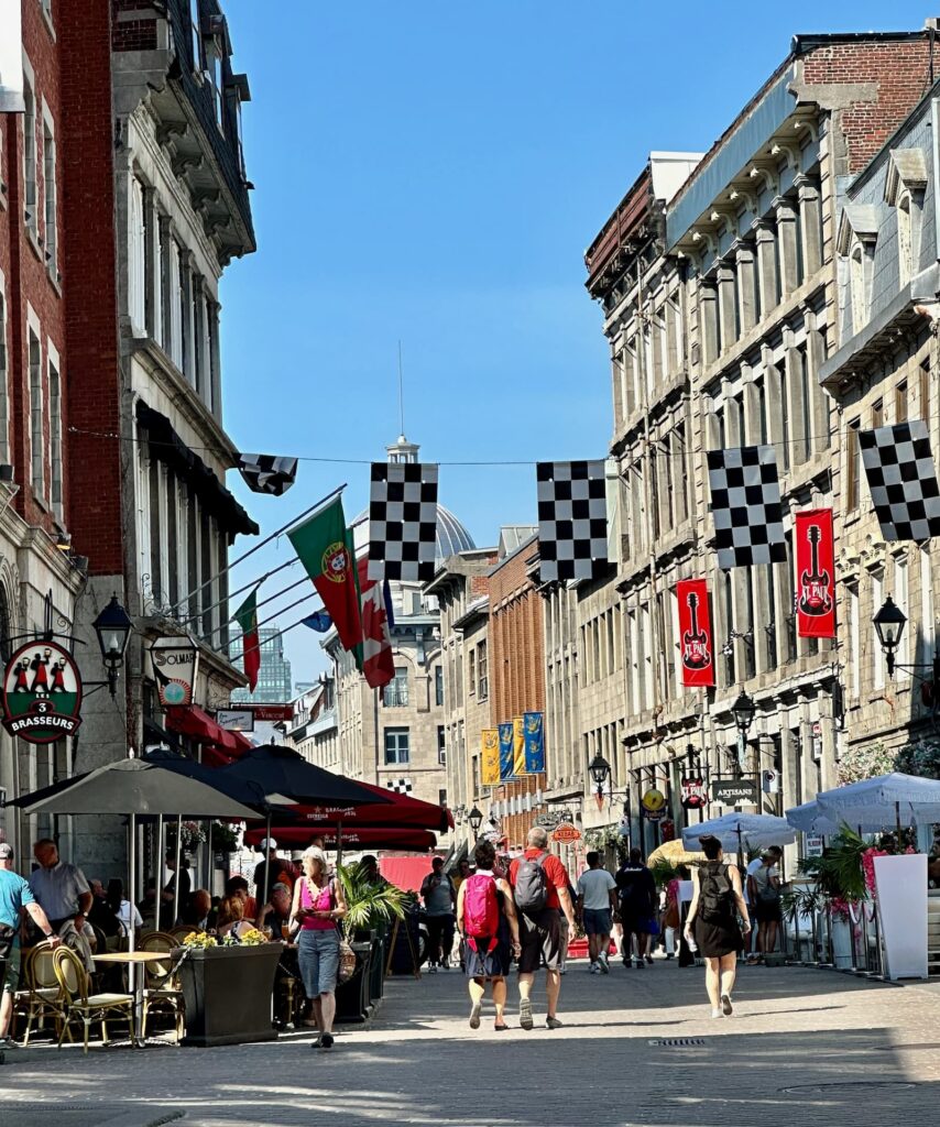
Rue St-Paul E, Montreal
Highlights in Vieux Montreal:
- Notre Dame Basilica
- Place d’Armes
- Chateau Ramezay historic house and museum.
- City Hall building – has been under refurbishment for 4 years and the scaffolding came off the day we were there.
- Cite Memoire – historical scenes are illuminated onto buildings, telling stories from Montreal’s past.
Old Montreal is where a lot of people start or even spend their entire visit to the city. However, after a visit to the Tourist Information Centre (Cnr Place Jacques-Cartier & Rue Notre Dame E), we found there is much more to the city than Vieux Montreal.
Plateau Mont-Royal & Mile End
Just north of the downtown area, and described as ‘colourful, quirky and creative’, Plateau Mont-Royal and Mile End are popular/cool neighbourhoods where you will find good food, colourful houses, murals, fashion, bagels and more:
- Café Olimpico (124 Rue Saint Viateur) for coffee
- Maison Sauvage (162 Rue Bernard) – café and cookies
- Kem Coba (60 Av Fairmount) for ice cream
- Fairmount Bagel (74 Av Fairmount) – hand-made bagels since 1919.
- Iconoglace (50 Av Laurier) for ice cream
- Bernie Beigne (23 Rue Bernard) for delicious donuts
- Poutine La Banquise (994 Rue Rachel) – for poutine
- Mix’ Heure (4282 Rue Saint-Denis) – juices, smoothies, etc
- St.-Viateur Bagel (158 Rue Saint Viateur) – bagels since 1957.
- Colourful houses, Saint Louis Square, Plateau Mont Royal
Verdun
Rue Wellington – cafes, restaurants, bakeries (Metro De l’Eglise Station).
Nearby is a popular sandy beach on the river in Arthur-Therrien Park, Verdun
Other suggested sights in Montreal:
- Views of Montreal from Mont Royal Chalet in Mont Royal Park (Metro Peel close to entrance of Park – a long walk up).
- Atwater Market with views of the Lachine Canal (Metro Lionel-Groulx).
- Jean Talon Market – popular food market in the Little Italy neighbourhood (Metro: Jean-Talon).
- Saint Joseph’s Oratory of Mount Royal (Metro Cote-des-Neiges) – the largest Catholic church in Canada
- Botanical Gardens (Metro Pie-X).
- Leonard Cohen Mural at 1240 Crescent Street (Metro Guy Concordia or Metro Peel).
The sights of Montreal are spread far and wide so not easily walkable. The best way to get around the city is on the Metro. One-way tickets are CA$3.75, two-way tickets CA$7, 24-hour tickets CA$11, three-day tickets CA$27.25.
An excellent resource for exploring Montreal is Experience Montreal
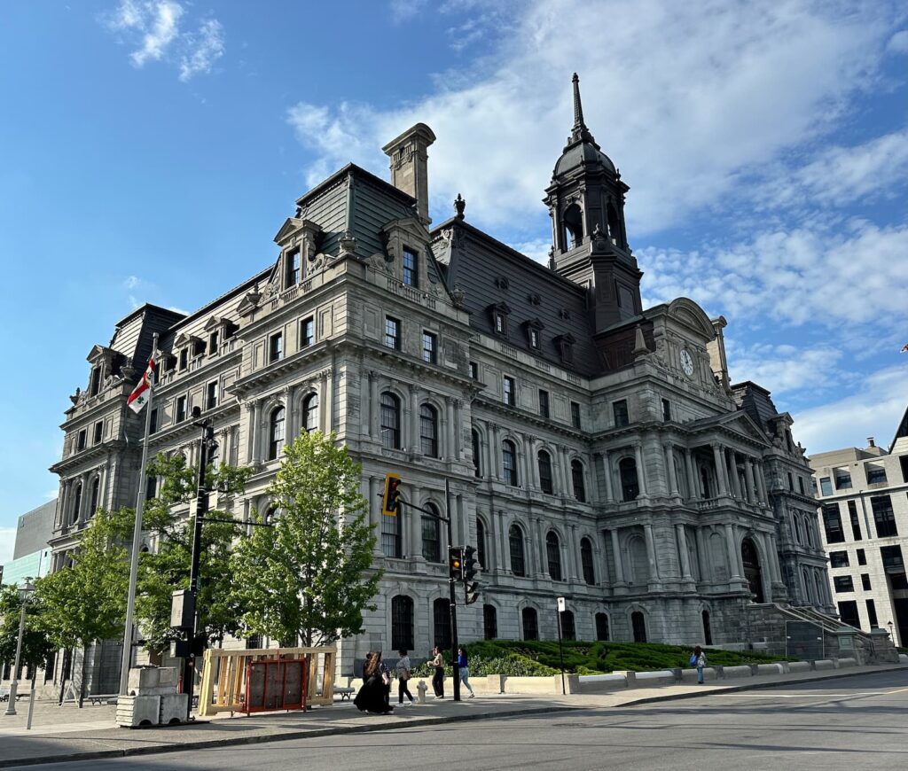
City Hall, Montreal
Accommodation: KOA Montreal South
This is an attractive campground gravel/lawn/trees. Looks like a lot of care taken. The cabins are very attractive and there is a lovely pool area. We had Site D11 (picnic table and fire ring) – nice and close to the bathrooms.
There are separate Men and Women washrooms – very clean. There are also washrooms in the building where Reception is located at front of the campground. The laundry is there too – very clean with lots of machines.
The KOA shop sells souvenirs and groceries. There is a large common room with tables and chairs, kitchen (stove, microwave, sink, bench space). There is also a shelter with tables and chairs.
From KOA Montreal South it is about a half-hour drive to Old Town Montreal.
We took an Uber into Montreal CA$40 to take the 3pm Free Walking Tour.
Alternatively, we could have driven to Metro Longueuil, left RV in carpark there (small fee to park $15). Car park is patrolled however we were worried about a break in.
Drive Montreal to Ottawa to KOA 1000 Islands (half way to Toronto)
Ottawa, Canada
Capital of Canada, a beautiful city with lots to see:
- Parliament Hill
- Supreme Court of Canada
- Canadian War Museum
- Canadian Museum of History National Gallery of Canada
- Notre Dame Cathedral Basilica
- ByWard Market Square
- Canadian Museum of Nature
We drove to Dows Lake – very pretty but difficult to find parking – lovely walk along Rideau Canal which freezes in winter.
We left Ottawa, headed for Niagara Falls. We stayed at KOA 1000 Islands near Kingston to break the trip.
Note: if time and weather good, there is a scenic drive of about 40kms – The 1000 Islands Parkway between Brockville and Gananoque – accessible from Highway 401.
Accommodation: KOA 1000 Islands Campground
A very pretty campsite. We had site E03 (electricity/water/sewer) with picnic table and fire ring. There are two bathroom amenities – one at the back of the Reception building, and one in a separate building. There is also a laundry. It is well away from busy roads.
Niagara Falls, Canada
From KOA 1000 Islands Campground it was about a four-hour drive to Niagara. We stopped for lunch at the Big Apple bakery and pie factory.
Niagara Falls is awesome. We started at the Horseshoe Falls near the Welcome Centre. Although raining, we loved the Falls. After viewing Horseshoe Falls, we took a look at the Table Rock Welcome Centre. Upstairs there is a bistro, restaurant. Downstairs some other food outlets, huge souvenir/gift shop and sales counter – lots of activities at the Falls.
The walk along the promenade is beautiful with views towards the falls on the US side. Saw boats, zip line, viewing platforms on other side. The park beside the promenade is very pretty.
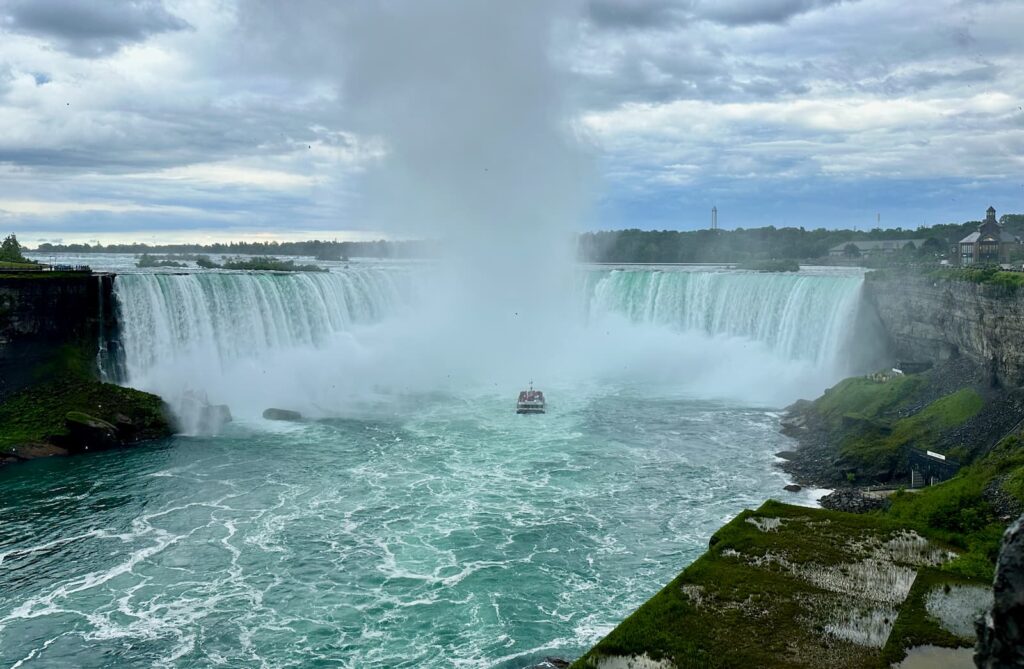
Niagara Falls
Accommodation: KOA Niagara Falls.
The KOA Niagara Falls campground is was about a 10-minute drive (CA$19) in an Uber to Table Rock Welcome Centre, Niagara Falls.
It is a very nice campground, beautifully kept and very busy. Facilities include a couple of very clean bathroom blocks, laundry, a covered bar/pizza area, indoor and outdoor swimming pools and large playground equipment.
Back to USA: Drive from Niagara Falls to Badlands National Park in South Dakota
From Niagara Falls, we crossed the Detroit River on the Ambassador Bridge into the USA headed for South Dakota.
The drive from Niagara Falls to South Dakota was a long one that we did over a couple of days, stopping at KOA campsites on the way. We drove through Indiana (clocks back one hour), Illinois and Minnesota (where we saw the Mississippi River for the first time), travelling on Interstate 90.
Accommodation: KOA Covert/South Haven
Very nice campground. Very welcoming people in reception – good store with souvenirs and some groceries. Next to the reception building are separate Men and Women toilets, unisex shower rooms (just shower stalls with doors). There is an attractive pool area and great play equipment. Lots of kids around and park just about full.
It was a beautiful drive along the freeway to our next stop at Rochester KOA. Pretty farmlands, dairy and crops, etc.
Accommodation: KOA Rochester
A small, basic campground in a country setting. Our site was under a very large tree, and had electricity/water. Unfortunately the campground appeared a littler unkept on our visit. There is a swimming pool (water looked clean) and a playground.
The bathrooms are in the Reception building and we had to cross the road to use them – not an ideal situation. There are some sites on that side of the road so maybe a good idea to request that location. Bathrooms are basic. Showers are free, had hot water and good pressure. Laundry rooms looked good.
Rochester is home to the Mayo Clinic. It is a good service town for groceries and petrol.
Continuing on our way the next day, it was a beautiful drive along Hwy 90 heading for Badlands NP. Beautiful countryside – lot of windmills, farmlands, green crops.
We stopped at Des Moines River Rest Area for picnic lunch in van – a lovely spot.
We also stopped at the excellent South Dakota Welcome Center where we spoke to Jill who was very helpful and knowledgeable on what to see and where to go. Armed with maps and ideas we set off again. To help plan your trip to South Dakota an excellent website is Travel South Dakota
The scenery was beautiful as we travelled through Sioux Falls (if time permits, take a look at the Falls), passed by the Liberty Statue and the town of Chamberlain, eventually crossing the very wide Missouri River. We loved the rolling green hills, wide open spaces and big skies on this drive.
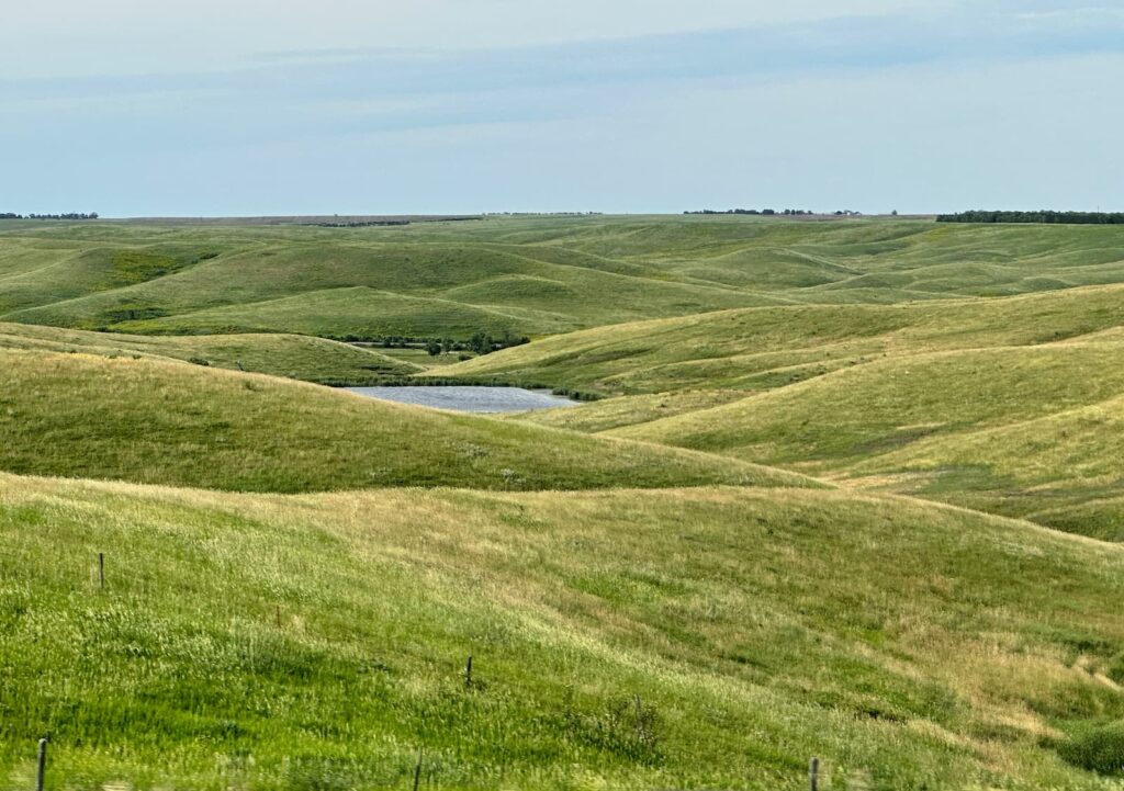
Countryside near Chamberlain, South Dakota
Accommodation: KOA Belvidere East/Exit 170.
This is a very pretty rural campground. We loved that we had been driving through such beautiful scenery and now we could stay in it! We had site 75 with electricity/water. The air was beautifully fresh and sweet, beautiful sunset.
The bathroom block was basic but clean. Men and women separate, traditional style.
Playground for children looks nice.
In addition to campsites there are cabins.
Belvidere KOA Café – onsite at the campground – provides fresh food, made to order and delivered to your site 9am-7pm. It is an extensive menu and includes salads, sandwiches, burgers and pasta.
The campsite is also a few hundred metres from 1880 Town https://www.1880town.com/
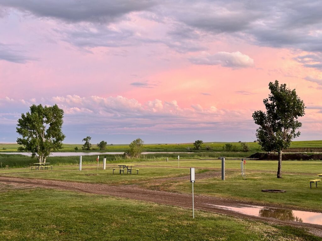
Sunset at Belvidere East KOA Campground
This campground is just under an hour from Badlands National Park. On the drive to Badlands NP we came across a couple of places of interest – Minuteman Missile National Historic Site and the Prairie Homestead Site – worth a stop.
Minuteman Missile National Historic Site, South Dakota
This is a fascinating place to visit. During the Cold War, the USA built up a system of nuclear missiles stored out of sight, below ground, capable of being launched with a moment’s notice from the US President.
One of the areas where those missiles were stored was on the Great Plains of South Dakota – below the crops of corn, wheat and sunflowers.
The project was called Minuteman and the Visitor Centre tells the story of the control centres, missiles, personnel, ranchers and the events leading to the Minuteman project. Start by watching the excellent 28-minute film ‘Beneath the Plains – the Minuteman Missile on Alert’, before visiting the excellent exhibition and gift shop.
While the Minuteman program was dismantled in this area in 1999, Delta-01 and Delta-09 centres were left for historic purposes. It is possible to visit the Delta-01 Launch Control Facility on a tour. It is recommended to book well in advance as there are only 6 people per tour, and there is a fee. If unable to take the tour, there is a 45-minute virtual tour presented by one of the Rangers at the Visitor Centre
Delta-09 missile silo site is also open for tours – check for details at the Visitor Centre.
Part of the National Parks system, the Visitor Centre is located along I-90, between Badlands National Park and the town of Wall. Entry is free of charge.
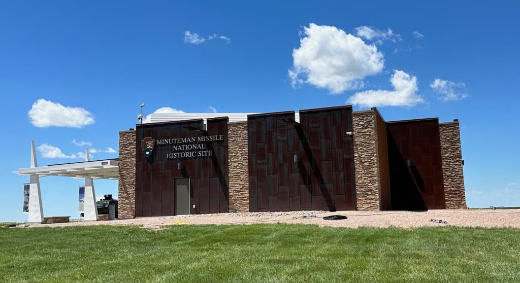
Minuteman Missile National Historic Site
Prairie Homestead Historic Site, South Dakota
This is one of the few remaining original Prairie homes built by a homesteader in 1909. It is a typical ‘sod’ house dug into the ground. See how the homesteaders lived and learn about the family that lived here. There is also a field with prairie dogs on the property. Entry fee of US$6 per adult.
Badlands National Park, South Dakota
Badlands National Park is a spectacular landscape of buttes, canyons, pinnacles and spires.
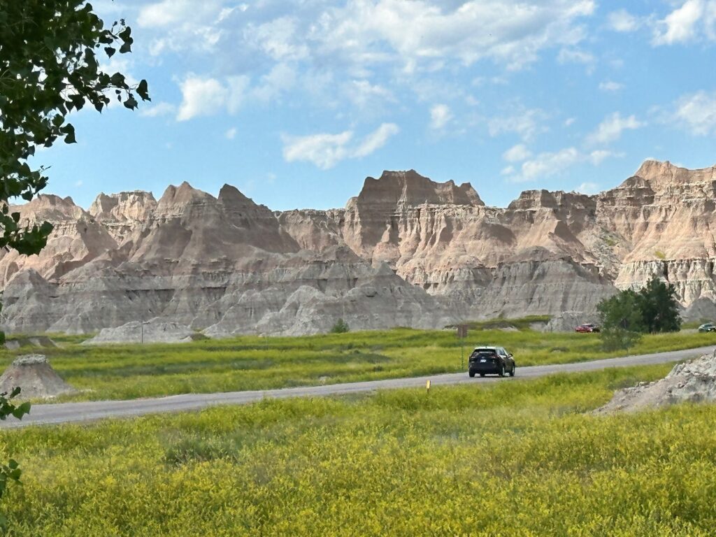
Badlands National Park, South Dakota
We entered the Park at the Northeast Entrance (on Rte 240) to take the Badlands Loop Road through the eastern section of the Park. Following the Badlands Loop Road (approximately 65kms) you can exit at Pinnacles Entrance and then it’s 8 miles (about 13kms) to the town of Wall. There are numerous overlooks and trails along the Loop Road.
At the Northeast Entrance we paid an entry fee of US$30 per vehicle and received a map. There is no visitor center here but the Ben Reifel Visitor Center is 5 miles beyond this entrance.
Immediately on entry to the Park we saw why this is such a special place and a must-see. Our first overlook was Big Badlands Overlook – the first of many.
These were some of our favourite stops along the Loop Road:
- Big Badlands Overlook
- The Door Trail – featuring 100m boardwalk (Window, Notch and Castle trails are also here).
- Beautiful views as you travel over Cedar Pass – Cliff Shelf Viewpoint.
- Ben Reifel Visitor Center – park film, ranger programs, hiking trails guide, see the Fossil Prep Lab.
- Cedar Pass Lodge (seasonal) – accommodation, camping, gift shop, convenience store, restaurant.
- Fossil Trail (boardwalk)
- White River Valley Overlook
- Panorama Point Overlook
- Homestead Overlook
- Conata Basin Overlook
- Yellow Mounds Overlook
- Ancient Hunters Overlook
- Pinnacles Overlook
- Sage Creek Rim Road – off to the left is a good detour to see Roberts Prairie Dog Town and another three overlooks.
We exited at the Pinnacles Entrance and drove to Wall where we camped the night.
Wall Drug Store, South Dakota
For miles and miles along I-90 we had been seeing many, many billboards about Wall Drug Store – a big sales pitch! On arrival in the town of Wall, we found Wall Drug Store – you cannot miss it as there are directions right up until the last block. It is enormous!
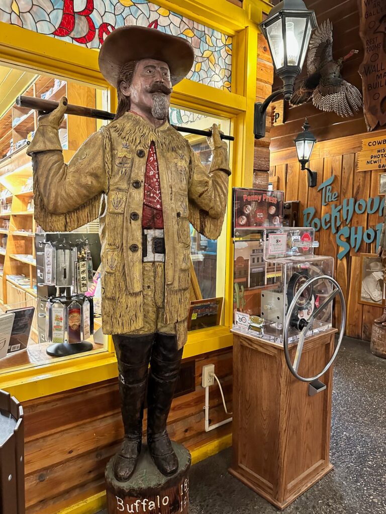
Wall Drug Store
Wall Drug Store has been there since 1931. What put Wall Drug Store on the map back then when Wall was a town ‘in the middle of nowhere’, was an idea to offer travellers free ice cold water in an effort to encourage them to stop. Over the years the business has grown into much more than a drug store – it’s a gift shop, restaurant (famous for buffalo burgers, home-made donuts, hot beef sandwiches), art gallery, leather belts and boots, Native American jewellery, entertainment for children and more. They still give away ice-cold water and sell coffee for 5 cents. See the story of Wall Drug Store at https://www.walldrug.com/about-us
Wall is a popular stop on the way to the Black Hills and Mount Rushmore.
South Dakota Air & Space Museum, South Dakota
This is a free outdoor museum next to Ellsworth Air Force Base. The Ellsworth Air Force Base played an important role in US defence during the Cold War and at this museum you will find many aircraft on display that were used during that time. The museum is located between Wall and Rapid City.
Southern Black Hills of South Dakota
This is a beautiful region and while most people go to visit Mount Rushmore, there is much more on offer in this wonderful area – friendly people, stunning scenery, national monuments and abundant wildlife.
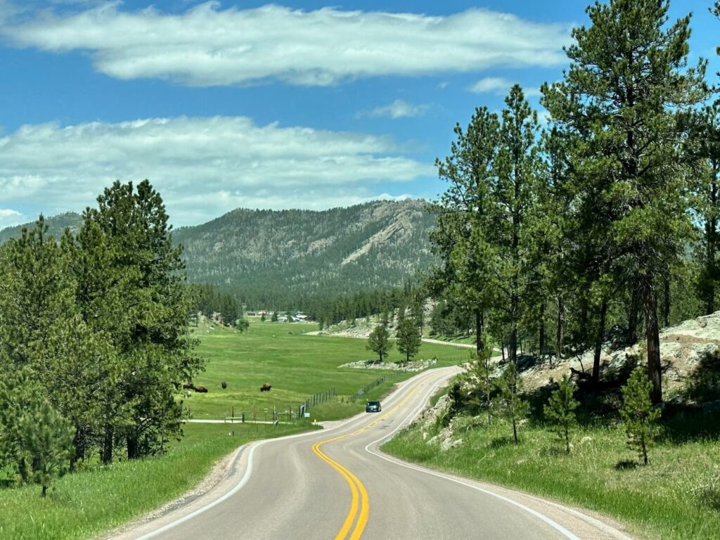
Black Hills National Forest, Custer, Black Hills
Top picks not to miss are:
- Mount Rushmore National Memorial
- Custer State Park
- Sylvan Lake
- Crazy Horse Monument
- Scenic drives – Needles Hwy, Iron Mountain Rd, Peter Norbeck Scenic Byway
See below for details on those.
A couple of sights we missed were:
- Jewel Cave National Monument – third longest cave in the world.
- Wind Cave National Park – one of the longest caves in the world.
- The Mammoth Site of Hot Springs – museum and paleontological site.
Rapid City, South Dakota
While we did not make a stop in Rapid City, it is an attractive town that would make a great base from which to explore the numerous surrounding attractions (Mount Rushmore, Badlands National Park, etc). Main Street is lined with historic buildings and a unique feature of the downtown area are the 43 life-size bronze statues of US presidents on the city streets and sidewalks.
There is plenty to do for families:
- Dinosaur Park
- Buffalo Hunt Roller Coaster
- Reptile Gardens
- Candy Co
- Bear County – US$40 for two people. Drive loop road through different sections of the property to see different animals. Also a Wildlife Walkway to see baby and small animals.
Keystone, South Dakota
On the way to Mount Rushmore we drove through the historic mining town of Keystone – a hive of activity – there’s a chairlift, mini-golf, vintage train ride to Hill City, arcade games, helicopter rides, etc.
Mount Rushmore National Memorial, South Dakota
Mount Rushmore National Memorial is visited by over two million people a year – and we can highly recommend it too!
The carving of the four presidents – Washington, Jefferson, Roosevelt and Lincoln – on the side of Mount Rushmore was initiated in 1925. Sculptor Gutzon Borglum was commissioned to undertake this huge task.
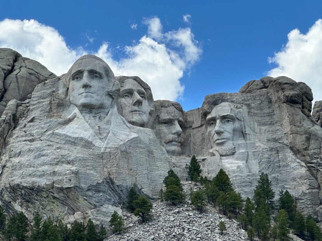
Mount Rushmore, South Dakota
The whole experience of seeing the sculptures, learning about the presidents, how the sculptures were made and who was involved was amazing.
On arrival, collect a ticket at the entry gate and a parking attendant directs you to a suitable parking spot. It’s very well organised, carparks are very subtle and downhill from the monument. Walk slightly uphill, through the Park Entrance:
- Call into the Information Centre to collect a brochure and find out what to do at the Memorial. Audio Tours are available.
- Walk the Avenue of Flags to the Grand Terrace – a great place for a photo of the Presidents. The Grand Terrace overlooks the Amphitheater.
- Take the stairs or elevator down to the Visitor Centre and watch the excellent 14-minute film ‘Mount Rushmore – The Shrine Carving Movie’ and then walk through the comprehensive exhibition about the building of the monument. There is also a good bookstore, and Rangers are present to answer any questions.
- Take the 0.6-mile Presidential Trail that starts from the Grand Terrace to get a closer look at the monument. There are 422 stairs on the trail. If you walk the trail in a clockwise direction there is more downhill than uphill walking.
- Visit the Borglum View Terrace and the Sculptor’s Studio.
- There is an Evening Lighting Ceremony every night in summer at the Amphitheatre.
- There is a restaurant (Carver’s Café) serving breakfast, lunch and dinner, a gift shop and an ice-cream shop at the beginning of the Avenue of Flags. On our visit there was also a food van ‘Hoist House Grill’ selling light meals.
Pay for parking US$5 at the ticket machine just before leaving.
Custer State Park, South Dakota
Custer State Park is a special place and a highlight of our trip. The park has scenic drives, beautiful lakes, walking trails, charming lodges, campsites and lots of wildlife.
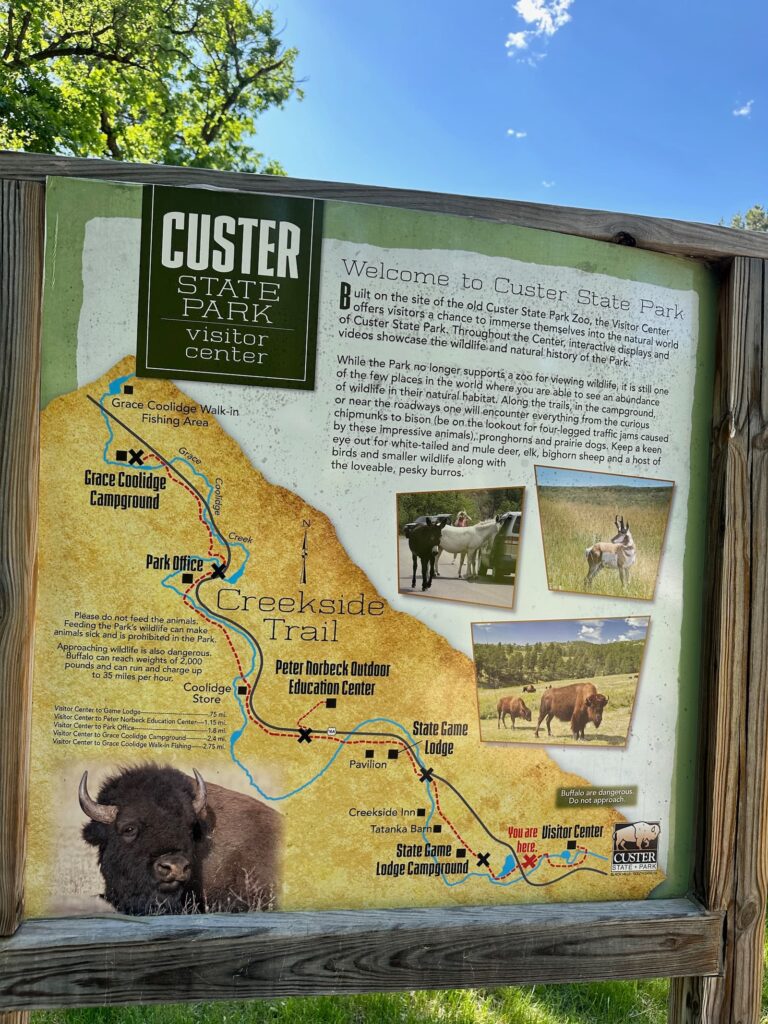
Custer State Park
It is a good idea to start at the Visitor Center (on Rte 16A) by watching the excellent film narrated by Kevin Costner – Spirit of Tatanka. Custer State Park is known for its herd of over 1,000 buffalo. Tatanka is the Lakota (Native American) word for bison, and we learn that the word bison and buffalo are interchangeable.
The exhibition in the Visitor Centre is fabulous and tells the story of the buffalo with beautiful photographs and interactive displays. Rangers are on hand to give advice on what to see and do – especially where you might see the buffalo on any given day.
Pick up a copy of the excellent free booklet Tatanka: Your Guide to Custer State Park. It is a very comprehensive guide to scenic drives, walking trails, accommodation, etc.
We drove the Wildlife Loop Road, starting from the Visitor Centre and finishing at the Blue Bell entrance/exit – an 18-mile (29 kms) loop road. If you drive without stopping it takes about 1 hour through prairies, rolling green hills and forests, however there is much to see, and we spent hours there:
- Wildlife Station Visitor Center – a lovely 1930s conservative building that was once home to herdsmen who looked after the buffalo. Now it has a small display on some of the fauna and flora found in the park.
- Fisherman Flats Road – that’s where the buffalo herd was during our visit. They were close to the road, standing on the road, calves feeding – wonderful.
- We saw burros and lots of prairie dogs.
- Bison Centre and Corrals – once a year there is a buffalo roundup and thousands of people come to see the buffalo coming into the corrals. The Bison Centre has wonderful displays telling the story of Custer Park’s buffalo herd.
Blue Bell Lodge
Exiting the loop road at Blue Bell Entrance, we hit Rte 87 (still in the Park) and shortly arrived at Blue Bell Lodge, a beautiful log cabin building with a gorgeous dining room and outdoor deck. Across the road is a general store and gift shop, and the Blue Bell Campground.
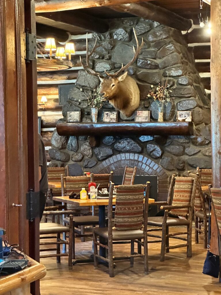
Blue Bell Lodge, Custer State Park, South Dakota
Legion Lake Lodge
Shortly after that Blue Bell Lodge is Legion Lake Lodge, located on the lake, where you rent a cabin, have a meal on the deck, swim or walk the one mile-hike around the lake (Legion Lake Shore Trail).
Stockade Lake
Next is Stockade Lake, the largest lake in the Park, popular for boating and fishing. There is a scenic drive around the lake. Very pretty.
Sylvan Lake Lodge
Just beyond Stockade Lake we exited the park for a while, t00k Rte 89 and entered the park again to visit beautiful Sylvan Lake Lodge and Sylvan Lake – the ‘jewel in the crown’ of Custer State Park.
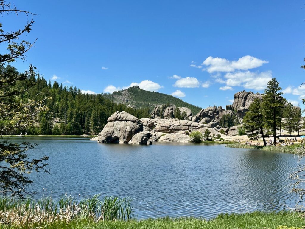
Sylvan Lake, Custer State Park
State Game Lodge
There is another lodge in the park that we, unfortunately, didn’t backtrack to see – State Game Lodge. State Game Lodge is the largest resort in the Park and has hotel rooms and cabins. In 1927 it was the Summer White House for US President Coolidge. Here you will find a beautiful dining room, peaceful walking trails and Creekside Lodge offering modern lodge accommodation. Buffalo Safari Jeep Tours through the Park start at State Game Lodge.
Scenic Drives through Custer State Park
As well as the Wildlife Loop Road, there are other spectacular scenic drives that pass through Custer State Park:
- Needles Highway (14 miles) – Note: this road has height restrictions due to tunnels.
- Iron Mountain Road (18 miles) – Note: this road has height restrictions due to tunnels.
- Peter Norbeck Scenic Byway – combines the Needles Hwy, Iron Mountain Rd and Wildlife Loop Rd.
We were unable to do those drives unfortunately as they have low tunnels that our RV would not fit through!
If you have an RV or don’t have your own vehicle, take a tour of those scenic drives with ‘Dave’s World’ Tour & Shuttle Services – owner/operator Dave Ressler comes highly recommended as an expert on the area and for the fun, informative tours of the highlights of the Southern Black Hills.
Town of Custer, South Dakota
The town of Custer is an attractive small town and also makes a great base from which to explore Custer State Park and other attractions including Wind Cave, Jewel Cave, Crazy Horse, Mount Rushmore and the 1881 Courthouse Museum. It has an excellent Tourist Office, large supermarket, over 50 accommodation establishments, good restaurants, breweries and wineries – and a unique art project: beautifully hand-painted buffalo statues!
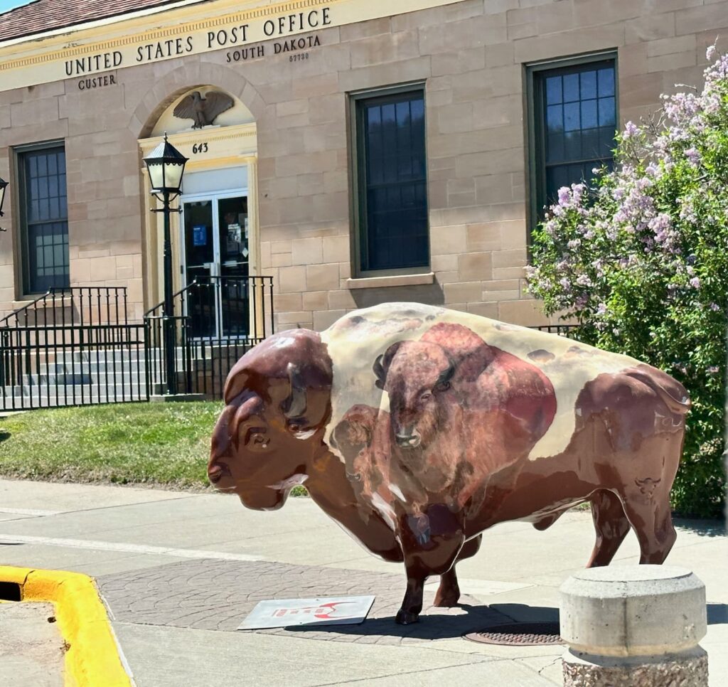
One of the many hand-painted buffalos in Custer
Accommodation: We stayed at the Custer/Mount Rushmore KOA campground.
Crazy Horse Memorial, South Dakota
Just north of Custer on Hwy 16/385 is the amazing Crazy Horse Memorial – the world’s largest mountain carving in progress. The memorial honours all Indigenous people of North America and it is an ideal place to learn about American Indian culture and history.
In 1939 Lakota Chief Henry Standing Bear asked sculptor Korczak Ziolkowski to create a memorial paying tribute to American Indians. Lakota warrior Crazy Horse was chosen to be the subject of the memorial and the carving is still a work in progress by the Ziolkowski family.
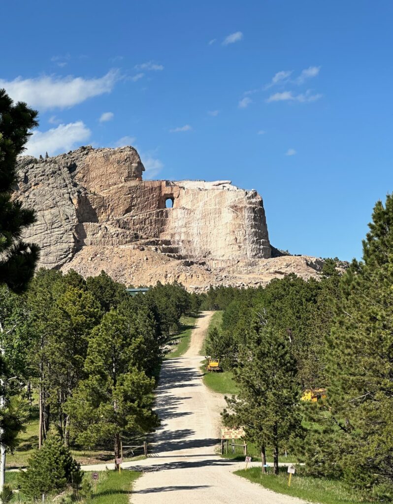
Crazy Horse Memorial – an amazing work in progress
The Welcome Center features a 24-minute film “What is Crazy Horse”, the Mountain Carving gallery, the Indian Museum of North America featuring a large collection of beautiful art and artefacts, and the Ziolkowski Family life museum plus gift shop and restaurant.
There is a fee to enter the property – at the time of our visit US$15 per person in car, or US$35 per car (3+ people).
Northern Black Hills, South Dakota
The Northern Black Hills of South Dakota include Lead, Deadwood, Spearfish, Spearfish Canyon – with Devils Tower, Belle Fourche and Sturgis nearby.
We did not have time to do justice to the region but visited a couple of highlights.
Deadwood, South Dakota
In the late 1880s prospectors found gold at Deadwood and it became a lawless gold mining camp. The well-preserved, historic town of Deadwood has a main street straight out of a Cowboy Western movie. In 1961 is was designated a National Historic Landmark. Wild Bill Hickok, Calamity Jane and Seth Bullock are famous characters who lived in the town.
There is an excellent Visitor Center in Deadwood that can advise on guided or self-guided tours such a the locally-guided, one-hour bus tour Ride Deadwood.
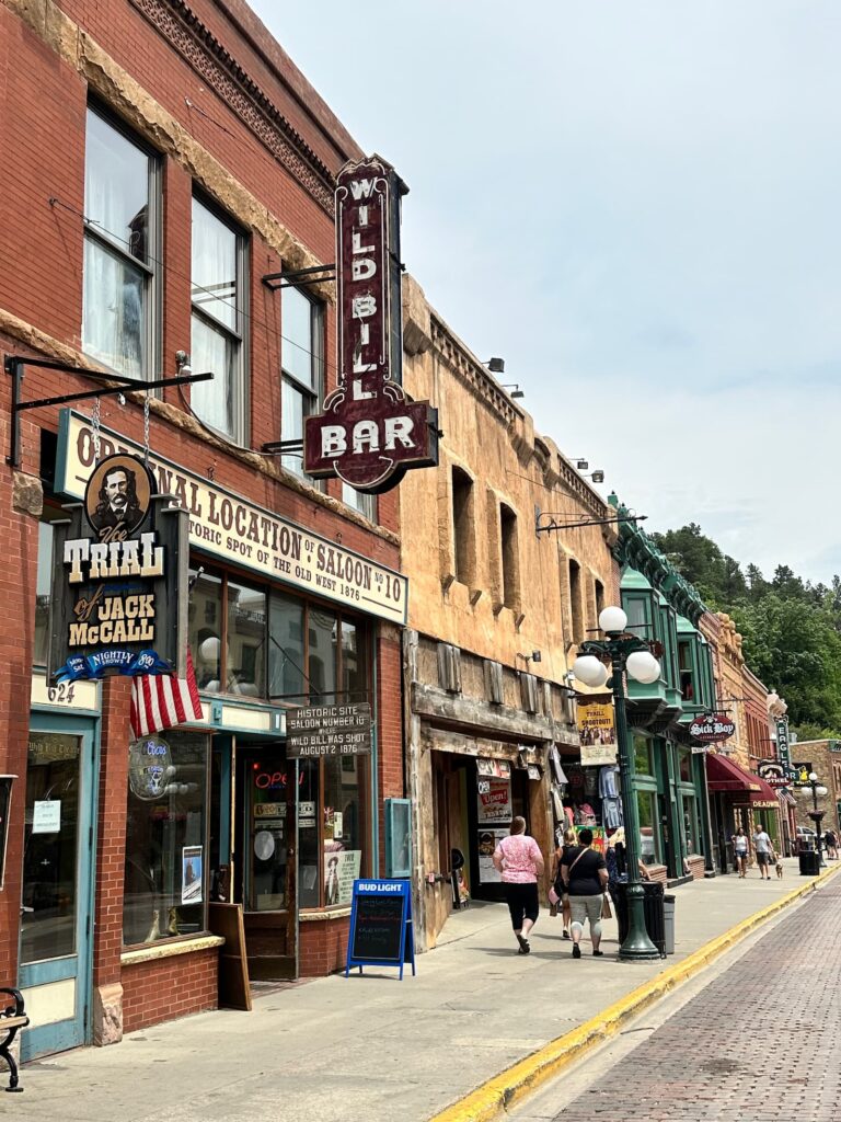
Town of Deadwood
Places of interest include Adams Museum, Days of ’76 Museum, Historic Adams House and Mount Moriah Cemetery.
Activities include Deadwood Alive (Main Street shootouts, Trial of Jack McCall, stagecoach rides, etc), and the Brothel Deadwood (on a guided tour of the brothel you will hear the 104 year old story on the original site of Shasta Rooms brothel).
Nearby is the George S. Mickelson Trail – a 109 mile rail trail through beautiful countryside. A popular section is between Deadwood and Hill City.
Spearfish Canyon State Scenic Byway, South Dakota
A 19-mile (30.5 kms) scenic byway on US14A from Cheyenne Crossing to Spearfish follows Spearfish Creek through a pretty gorge with Bridal Veil, Spearfish and Roughlock Falls as popular stops along the way.
We found Rte 85 from Buckhorn to Cheyenne Crossing (the road before Spearfish Canyon State Scenic Byway) equally as beautiful.
Accommodation: Spearfish KOA
Devils Tower, Wyoming
Leaving Spearfish, we drove Rte 14 and 24 to Devils Tower – a beautiful drive.
Devils Tower is an amazing sight! This molten rock tower rises 388m above the Belle Fourche River, has a base circumference of 1.6km and is about the size of a football field at its summit.
Devils Tower was America’s first national monument – proclaimed by President Roosevelt in 1906. It is a sacred place to many American Indian tribes who know it as Bear Lodge.
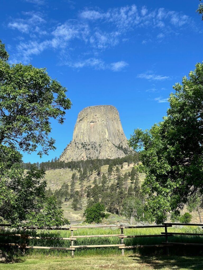
Devils Tower
Many people may be familiar with Devils Tower as a film location in the movie Lost Encounters of the Third Kind.
The entrance fee is US$25 (valid for 7 days) for a Vehicle Pass. Just inside the entrance is the Belle Fourche River Campground – open seasonally on a first-come, first-served basis, it has 46 campsites and picnic area.
From there it is a short drive to the Visitor Centre and Interpretative Plaza where there is an informative exhibition, Ranger programs, bookstore, maps, etc.
There are two walks around the base of the Tower:
- The Tower Trail – 2.1km loop, easy, moderate, paved trail, 170ft elevation gain.
- Red Beds Trail – 4.5km loop moderately strenuous hike, 450ft elevation gain
The other walk in the area is the Joyner Ridge Trail – the trailhead is about a 4-minute drive from the Visitor Centre. It is a 1.5 mile loop with a 235ft elevation gain – beautiful views of the Tower, especially at sunset.
Devils Tower is in a remote area but just outside the entrance to the Monument are the Devils Tower Trading Post and Devils Tower KOA campground.
Accommodation: Devils Tower KOA
Just outside the entrance gate to Devils Tower, this is a lovely campground with views of Devils Tower.
Drive from Devils Tower to Estes Park – Gateway to Rocky Mountain National Park
From Devils Tower it was a long drive through the prairies and ranch lands to Estes Park, Colorado.
We arrived late in Estes Park and didn’t have a reserved camp site. The first night we stayed at Major RV Park and the second night at Estes Park KOA.
Estes Park, Colorado
Estes Park is an attractive town and is a gateway to the Rocky Mountain National Park.
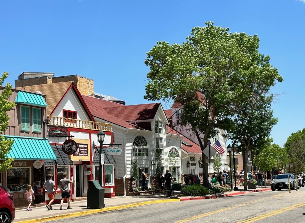
Estes Park
We recommend your first stop be at the Estes Park Visitor Centre.
Estes Park Visitor Center
Estes Park Visitor Center is an excellent place to visit for information on what to see and do in and outside the town.
From the Visitor Center, there is a pleasant riverside walk into the main street of Estes Park. Some nice cafes and shops along the river walk. Attractive buildings in the town, lots of gift shops, etc. There is a trolley running from the Visitor Centre to the main street.
There are some interesting places to visit in this attractive town:
- MacGregor Ranch Museum
- Estes Park Museum
- Enos Mill Cabin Museum – open by appointment
- Stanley Hotel – Stephen King took inspiration from this hotel for his book ‘The Shining’.
A shuttle bus runs from the Visitor Center to many hikes in the area.
Rocky Mountain National Park, Colorado
Rocky Mountain NP is one of the busiest national parks in America. Due to the high number of visitors, a timed entry permit reservation system has been introduced for the peak season May-October between the hours of 9am-2pm. For more information visit the Fees page of the Rocky Mountain NP website.
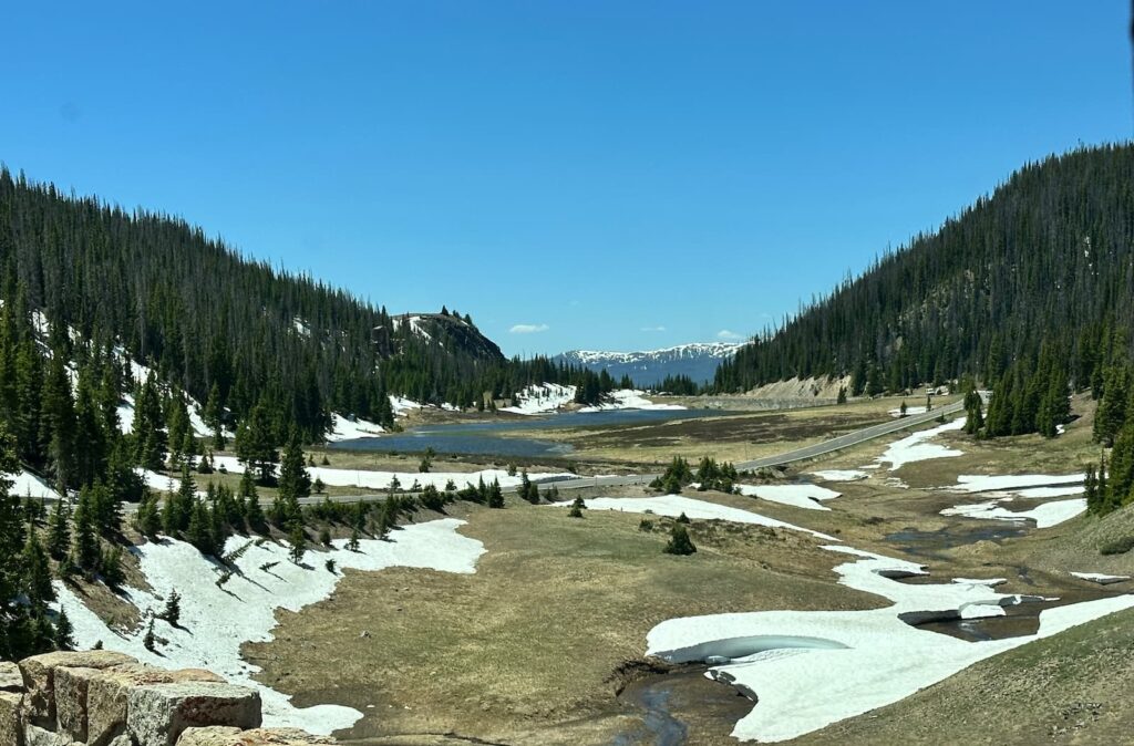
Scenery along Trail Ridge Road, Rocky Mountain National Park
There are four main visitor centres in Rocky Mountain NP:
- Beaver Meadows Visitor Center – on Hwy 36, near Beaver Meadows Entrance to NP, SW of Estes Park.
- Fall River Visitor Center – on Hwy 34 near Fall River Entrance to NP, NW of Estes Park.
- Alpine Visitor Center – on Trail Ridge Road in the NP. Highest visitor centre in the National Park Service.
- Kawuneeche Visitor Center – on Hwy 34 near Grand Lake Entrance station, north of town of Grand Lake. If you drive the Trail Ridge Road from Estes Park, you will exit the park at Grand Lake.
Other services in the Park:
- There are also two Wilderness Camping Offices where visitors can obtain permits and information on overnight camping.
- Moraine Park Discovery Center – Interactive exhibits, nature store, nature trail with lovely views of Moraine Park.
- Bear Lake Mountain Station – Timed entry permit system in operation for Bear Lake Road during high season between 5am and 6pm. Permits can be booked online. Bear Lake is known for its beautiful walks.
- Hidden Valley Ranger Station
- Sheeps Lake Information Station
- Trail Ridge Store – next to Alpine Visitor Center on Trail Ridge Rd. Lots of souvenirs and a restaurant/cafeteria.
Beavers Meadows Visitor Center
We visited this visitor centre and can recommend watching the 23-minute film ‘Spirit of the Mountain’ about the early days of the park, how it was founded and the wildlife in the park. Rangers very helpful with advice on how best to spend your time in the park.
Scenic Drives in Rocky Mountains National Park
There are two scenic drives in the Rocky Mountains NP:
- Trail Ridge Road
- Old Fall River Road
Trail Ridge Road
Trail Ridge Road passes through Rocky Mountain National Park from Estes Park in the east to Grand Lake in the west and can be driven in either direction. It is about 50 miles (81km) long and is the ‘highest continually paved road in the USA’. It reaches 12,183 feet at its highest point. Trail Ridge Road is open from late May to October, depending on weather conditions.
Old Fall River Road
Old Fall River Road was the first automobile road in Rocky Mountains NP to access the alpine tundra. The road is a dirt road for one-way traffic only. There are steep grades, no guardrails and tight switchbacks. The road is an uphill drive of 9 miles (15 kms) and takes about one hour to drive from Horseshoe Park to Fall River Pass (11,796 ft/3595 m) where it joins the Trail Ridge Road at the Alpine Visitor Center. There is one stop along the way – Chasm Falls where there is a steep trail to view the waterfall. Open early-mid July to October, depending on weather conditions.
Trail Ridge Road Drive
We took the Trail Ridge Road and found it to be a fabulous drive – highly recommended. The views of the mountains are spectacular. We drove the road on a Monday in mid-June and found the traffic manageable and were able to get a parking spot on the overlooks and in the car parks – but only just. The road was in good condition.
We entered the Park at Falls River Entrance (8,240 ft/2511m) just before 10am, paidUS$30 and the ranger asked us to show him the confirmation email for our time-slot booking.
Note: If you haven’t secured a time-slot you can enter the park before 9am. Entry to the park is 24 hours so you can go as early as you like.
We made numerous stops to take in the views along the way at the many overlooks and at the Alpine Visitor Center.
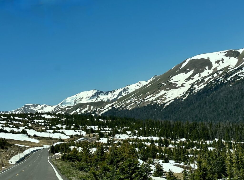
Trail Ridge Road near Alpine Visitor Center, Rocky Mountain National Park
Highlights along the way:
- Sheep Lakes, just after entering, is known for sightings of elk, big horn sheep and moose.
- Alluvial Fan – it’s a short drive off Trail Ridge Rd and then it’s a quarter mile hike to see Alluvial Fan where in 1982 the Lawn Lake Dam burst resulting in a fan-shaped pile of boulders and debris on Fall River.
- Many Parks Curve – we park in the carpark and walk along the boardwalk to see amazing views.
- Rainbow Curve (10,892 ft) – spectacular
- Forest Canyon
- Rock Cut
- Lava Cliffs
- Between Lave Cliffs and Gore Range overlooks is the highest point of the road – 12,183 ft or 3,713 m.
- Gore Range
- Alpine Visitor Center (11,796 ft/3,595m) – includes a huge gift shop, café, rangers desk, exhibition on the Park, and toilets. From the carpark there is a short uphill trail – the Alpine Ridge Trail.
- Medicine Bow Curve
- Milnes Pass – 10,758 ft/3,279m
- Fairview Curve – wonderful views of Never Summer Mountains and the Kawuneeche Valley. We have a picnic lunch here in our RV.
- Colorado River Trailhead
- Beaver Creek Picnic Area
We then passed through an area that had been burnt out by a fire in October 2020 – devastating to see.
We exited park at 1.40pm at Grand Lake. Shortly after the exit we passed Kawuneeche Visitor Center (8,720ft/2,658m) and then it was just 1.2 miles to the KOA camping ground, where we stayed the night.
Accommodation: KOA Grand Lake
This is an excellent KOA at an elevation of 8,369 feet. Sites are located on an upper loop and a lower loop. We found the sites better on the lower loop and had Site RV52. Sites are gravel and are separated by shrubs so are quite private. There is a picnic table and fire pit.
The bathrooms are in the main building behind Reception/Shop – separate Men and Women toilets and showers. All very clean. Good hot showers. The timer for the light is on the outside of the shower room so be sure to set the timer to give yourself plenty of time as if the light went goes out it is pitch black in the shower room! The laundry is located at the back of Reception too.
There is a playground near Reception and also a very attractive tent camping area.
Apparently it is common to see moose in the campground – especially on the upper loop but we unfortunately didn’t see them on our visit.
We can highly recommend a stay at this campground. It is a short drive into the town of Grand Lake from KOA.
Grand Lake, Colorado
After leaving the campground we drove through the beautiful town of Grand Lake. The main street is lined with timber Western-style buildings housing shops and eateries. The sidewalk is also timber and it makes for a great Western-feel.
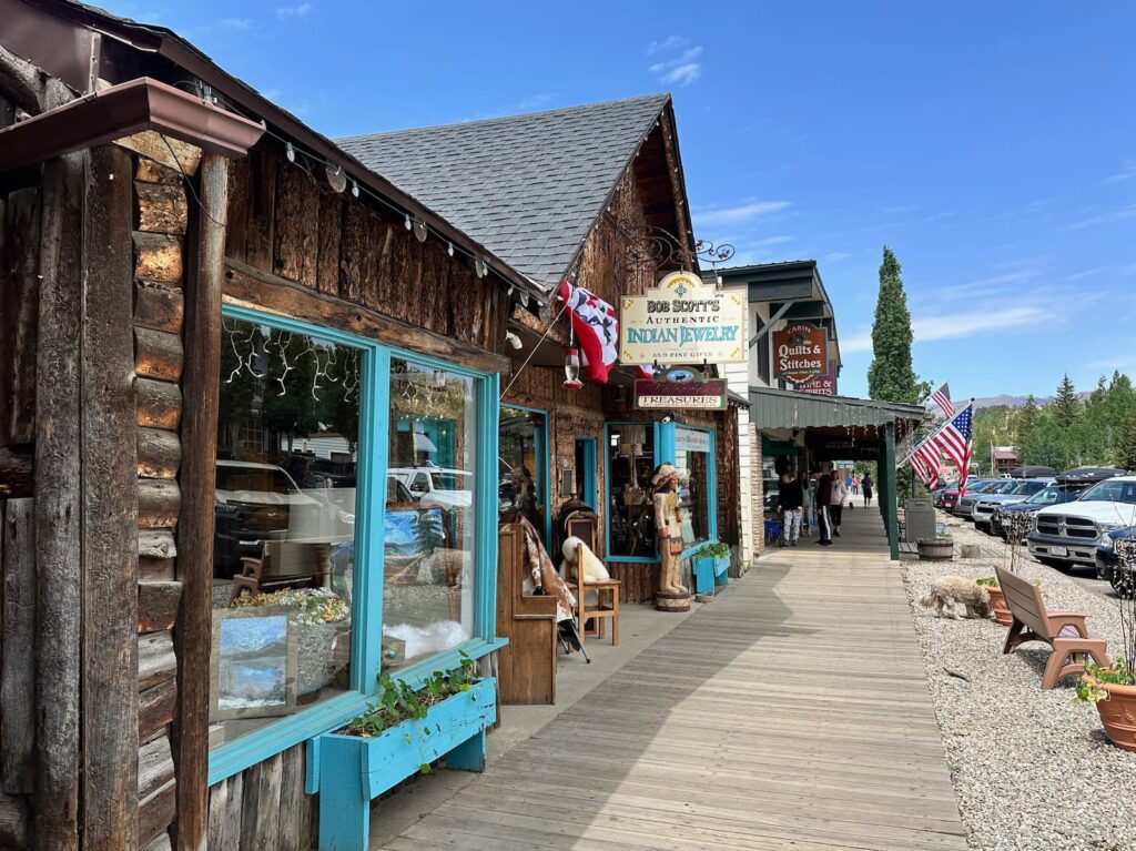
Grand Lake
Grand Lake is the largest natural lake in Colorado – it is a beautiful spot with lots of boats, SUP, etc. Don’t miss a visit to this beautiful town and lake – one of the prettiest we have seen in Colorado.
Drive Grand Lake to Glenwood Springs, Colorado
The drive between Grand Lake and Glenwood Springs KOA (where we based ourselves to visit Aspen) takes about 3 hours and is very scenic. Views along the I-70 were amazing.
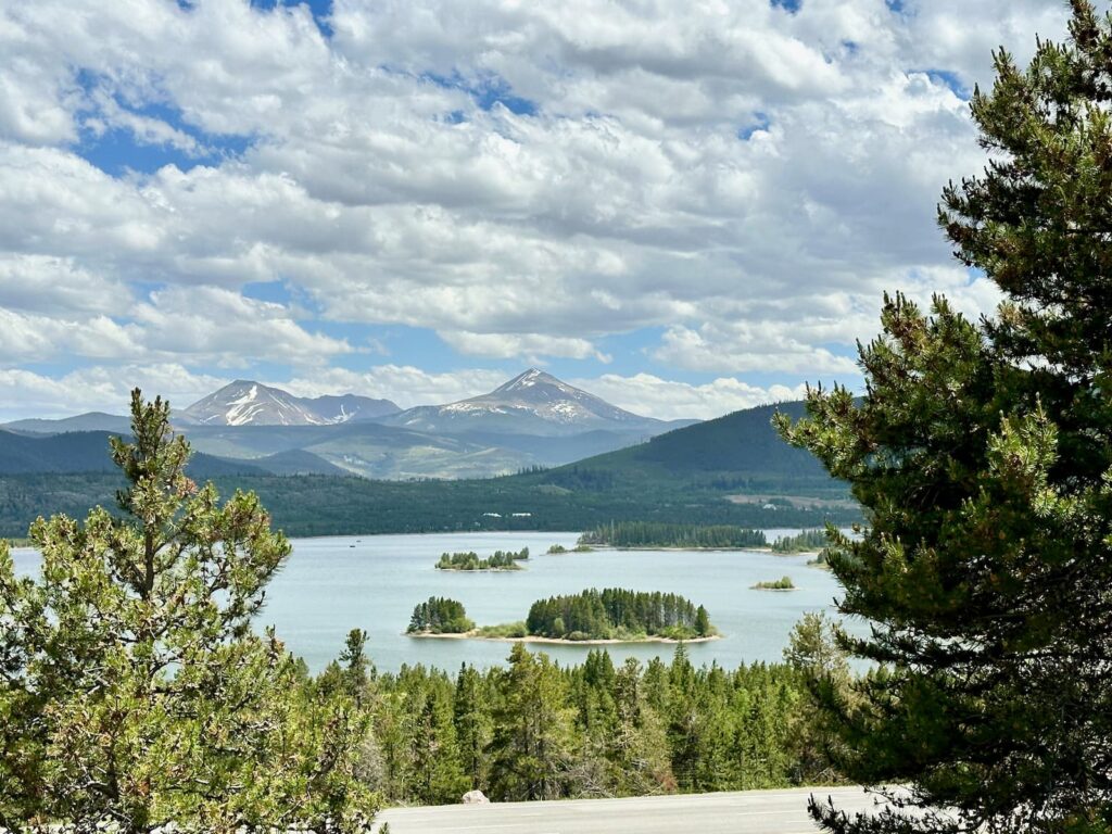
Wonderful views along the I-70 near Frisco, Colorado
KOA Glenwood Springs West/Colorado River KOA Holiday
This KOA is located near the small town of Silt, about a 20-minute drive from Glenwood Springs.
On arrival we received a warm welcome. Reception is in a large attractive timber building with a small shop (not many groceries for sale) and an attractive sitting area.
We had site W31 the first night – in the newer section of the campground – established 4 years ago. And site E7 the second night – in the older section which was established 8 years ago.
Site W31 – This site has a cement ‘patio’ with table/chairs, a fire pit and full hook up. It is quite close to the freestanding building that houses unisex individual toilet rooms, unisex shower rooms and laundry (the West Bathhouse). There are more bathrooms and a laundry in the main Reception building, and another freestanding East Bathhouse in the older section of the campground.
Site E7 – The second site is gravel and grass with full hook-up, firepit/grill and picnic table.
The most scenic campsites are along the Colorado River. There are also a few attractive cabins (deluxe cabin, camping cabins, historic cabin). There is a swimming pool, spa and playground behind the main building.
A very nice service is a free shuttle to a local award-winning restaurant – Miner’s Claim Restaurant & Martini Bar – in the nearby small town of Silt.
The closest large town is Glenwood Springs with restaurants, shopping and a Visitor Centre
Suggested local sites – Aspen, Rifle Falls in Rifle Falls State Park.
For people sensitive to road noise, the campsite is just off the I-70 and there is some noise, but it didn’t worry us. The campsite is also just behind a service station.
Aspen, Colorado
Aspen was just under an hour’s drive from Glenwood Springs on Rte 82, a good road with two lanes each way – not a ‘mountain’ road as we had expected (that is Rte 82 on the other side of Aspen – Independence Pass between Aspen and Leaderville).
We only visited the town of Aspen (7,908 ft/2410 m), but didn’t have time to see Aspen Snowmass – a ski resort town, built in 1967, about 8 miles from Aspen.
During winter there are four mountains to ski:
- Aspen Highlands
- Aspen Mountain (known as AJAX)
- Buttermilk
- Snowmass
Our visit to historic Aspen was in summer and we found it to be a charming town with high end boutiques, art galleries, and many eateries and fine dining restaurants.
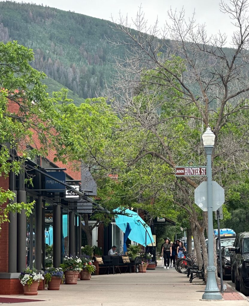
Aspen
There is much to see and do in Aspen:
- Ride the Silver Queen Gondola to the top of Aspen Mountain for fabulous views. It is a 20-minute ride and costs US$37. There is a restaurant at the top plus hikes.
- Stroll through the John Denver Memorial Park – a beautiful park and rock garden where the singer’s songs are inscribed into the rocks.
- Visit Maroon Bells Scenic Area – Maroon Bells are two peaks in the White River National Forest rising above Maroon Lake. The view from the lake is iconic. Access is via Maroon Creek Road however in the summer, a permit system is in place between 8am-5pm for private cars, or there is a shuttle bus which leaves from Aspen Highlands Ski Area. Hikes in the area include:
– Maroon Lake Trail – easy 1 mile round trip
– Falls Loop Trail – easy 1.5 mile round trip
– Maroon Creek Trail – easy 3.2 mile one way
– Crater Lake Trail – moderate 3.6 mile round trip - Aspen Art Museum – founded by local artists with an emphasis on contemporary art.
- Hotel Jerome – Aspen’s original luxury hotel opened in 1889.
- Wheeler/Stallard Museum – Victorian house museum.
- Holden/Marolt Mining & Ranching Museum – learn about the area’s mining and ranching history.
- Aspen Saturday Market June-October – local artisans, music, food and produce.
- Theatre Aspen presents award-winning shows and is a great night out.
- If you would like to do a tour, the Visitor Information Center recommended DeansTours.com – for scenic bike rides, hikes and history walks.
There are plenty of places to eat in Aspen. We can recommend an inexpensive lunch at The Big Wrap and delicious ice cream at Paradise Bakery. Hickory House was recommended as the place for ribs.
There are numerous festivals throughout the year in both Aspen and Aspen Snowmass. During our visit in June it was the Snowmass Rodeo. For current events in Aspen visit https://aspenchamber.org/
Aspen is a place for all seasons, and we can highly recommend a visit.
Arches National Park near Moab, Utah
Leaving Colorado, it was a scenic drive towards Moab in Utah where we planned to visit one of our favourite national parks – Arches.
Like many national parks in the US, Arches NP has introduced a timed entry system. Timed entry can be booked online at recreation.gov – under Explore Destinations & Activities. We booked a 3pm time slot and paid US$2 for ‘Personal Vehicle’ (that is in addition to NP entry of $30).
Even though we had booked timed entry, there was a long queue of cars and it took 20 minutes before we entered the park where we spent about three hours driving the 18-mile scenic road to Devils Trailhead and back. Whilst there was a little rain, the light was beautiful late in the day.
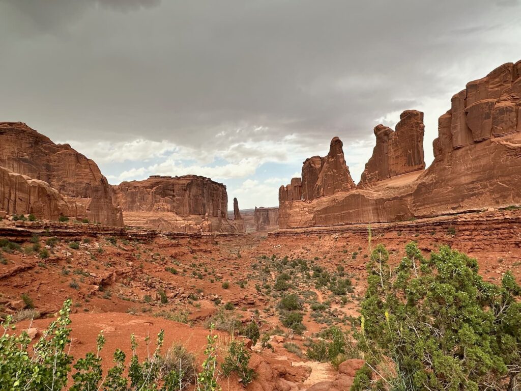
Park Avenue, Arches National Park
We made many stops:
- Moab Fault
- Park Avenue – one of the most beautiful
- La Sal Mountains Viewpoint
- Courthouse Towers
- Petrified Dunes Viewpoint
- Balancing Rock – a popular stop – can see the rock easily from the road but there is also a short walk to get closer and enjoy views beyond.
- A short drive off to the right leads to another popular stop – The Windows: Garden of Eden overlook, Double Arch, North Window, South Window, Turret Arch and Parade of Elephants. The walk to North and South Windows is popular.
- Panorama Point – beautiful.
- A short drive to the right to another popular spot – Wolfe Ranch (from where the Delicate Arch 2-3 hour walk begins) then onto Lower and Upper Delicate Viewpoints.
- Fiery Furnace Viewpoint and Salt Valley Overlook
- Sand Dune Arch – a short 0.6km walk in sand through a narrow walkway through rocks. Can do a loop walk (3.7km) to combine sand Dune Arch with Broken Arch.
- Broken Arch – can see from road but also easy walk.
- Skyline Arch – easy walk
- The scenic road ends at Devils Garden where there is a campground, picnic areas and Devils Garden Trailhead.
We can highly recommend Arches National Park, driving the scenic road, stopping for photos and short walks. It is an amazing NP.
Accommodation: Moab KOA Holiday
This is a very good KOA campground. We have Site G4 with electricity/water, picnic table and charcoal/grill for US$76. The campground is gravel and red sand – that is the nature of the country around Moab.
The star of the campground is the swimming pool – the largest pool in Moab!
The campground amenities include a Bike Wash & Repair Station, community fire pits, playground, well-stocked shop. There is a wash-house close to our camp site with unisex individual shower rooms which include basin and toilet – all very clean. The laundry and extra toilets are located in the building near the swimming pool.
The cottages are very attractive and there are also sites available for tents.
We liked this campground very much although it was very dark at night and you really need a torch if moving about within the campsite in the dark.
Drive Moab to Capitol Reef National Park to the town of Torrey, Utah
We took Rte 128 from Moab back out to I-70, stopping at Green River (just off I-70) for a rest and lunch near the John Wesley Powell River History Museum, then left onto Hwy 24 to Capitol Reef NP to Torrey where we stayed the night.
Hwy 24 West is a Scenic Byway and we were not disappointed – it is a 156-mile scenic drive – with the highlight being Capitol Reef NP, just 10 miles before the small town of Torrey.
Capitol Reef National Park, Utah
Rte 24 cuts through Capitol Reef National Park. If it fits your itinerary, it would be a good idea to base yourself in Torrey and visit the park from there – it is just over 10 miles, or a 15-minute drive from Torrey to the Park Visitor Center.
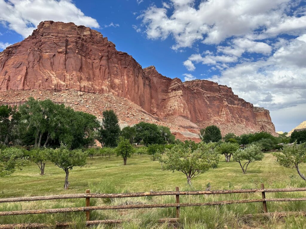
Orchard at Capitol Reef National Park
We recommend firstly stopping at the Capital Reef NP Visitor Centre, just off Rte 24. There are rangers on hand to advise how to best spend your time plus ranger programs, and an excellent exhibition on the geological formation, history of the Park and the pioneers who first lived in the area.
The park gets its name from two features. A rock formation called Capitol (it resembles the US Capitol building) and Reef (the early settlers/travellers thought the rocky cliffs were like hazardous reefs in the ocean to cross). These geological features were created by the Waterpocket Fold (a huge ‘wrinkle) in the rocks.
Some of the things to see and do are inside the park (off Rte 24) and others are along the main road – Rte 24 where it cuts through the Park.
Highlights of a visit to Capitol Reef National Park:
In the park:
- Visitor Center – ranger advice, bookstore, exhibits, picnic tables, water, rest rooms. The Park campsite is nearby.
- 8-mile Scenic Drive in the park – about a 2-hour round trip (closed for repair during our visit).
- Fruita Historic District – settled by Mormon pioneers who planted orchards of fruit trees (apple, pear, apricot, plum, peach, cherry) – still there today. See the blacksmith shop, the barn and Gifford House Museum & Store where you can buy fruit pies and gift items.
Along Rte 24:
- Fruita Schoolhouse
- Petroglyph Panel
- Hickman Bridge Trail, Grand Wash Trail
- Behunin Cabin
There are 15 day-hikes to choose from in the park, from easy to strenuous. Details can be found on the Trail Guide web page. Two of the most popular hikes are the Hickman Bridge Trail and Chimney Rock Loop.
Chimney Rock Trail, Capitol Reef National Park
Accommodation: Wonderland Campground, Torrey
This was one of our favourite campgrounds on our 2-month road trip through the USA. It is a small, well-kept campground located on the edge of the little town of Torrey with very friendly owners. Sites are gravel and grass – we had a drive through site with full hook-up and picnic table (no fire pits). There are also cabins available.
Opposite is a service station, Subway and convenience store. Just across the road (Rte 24) is the Visitor Information Centre. It is a perfect base from which to explore Capitol Reef National Park – just 10 minutes away.
Scenic Byway Hwy 12W, Utah
Torrey – Boulder – Bryce Canyon – Kaibab Camper Village (Grand Canyon North Rim) – Country Rose RV Park & Campground Fredonia
After visiting Capitol Reef National Park and staying overnight in Torrey, we picked up a copy of “A Route Guide to Scenic Byway 12” from Torrey Visitor Information Centre and began a beautiful drive on Hwy 12 West, headed for Grand Canyon North Rim.
If you drive the full length of this wonderful Scenic Byway 12, it is 124 miles between Torrey in the north-east and Panguitch in the west, connecting Capitol Reef National Park and Bryce Canyon NP. The road takes you through a variety of fantastic scenery – rugged and remote landscapes, canyons, alpine forests, ancient seabeds, desert, buttes, mesas, meadows, ranches and panoramic views. There are some winding sections and some high elevations (9,600 ft).
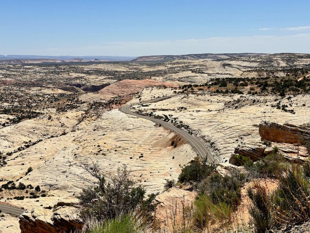
Head of the Rocks Overlook – Million Dollar road, Scenic Byway 12, Utah
There are many pullovers along the way with interpretative information boards where you can learn about early explorers and settlers, 12th century inhabitants, wildlife, and geological formations.
The first section of the road is open pasture and there are sometimes cattle on the road.
Highlights of Hwy 12:
- Larb Hollow Overlook
- Steep Creek
- Homestead Overlook
- Boulder – Anasazi State Park Museum – fascinating ancient Puebloan ruins, a cafe and gift shop.
- The Hogsback and overlooks
- Kiva Koffee House was a surprise, blending into the natural landscape.
- Boynton Overlook
- Head of the Rocks Overlook – Million Dollar Highway (not to be confused with the road of the same name in Colorado).
- Overlook at beginning of the Hole-in the-Rock Scenic Backway
- Town of Escalante
- Hole in the Rock Heritage Center
- Escalante Interagency Visitor Centre, Escalante – Grand Staircase, Monument vs State Park, dinosaurs, began mainly for research/scientific purposes
- Ancient Puebloans Upper Valley Granaries – can be seen in the cliffs from the road.
- The Blues/Powell Point Overlook
- Cottonwood Canyon Scenic Backway – 46 miles, dirt road
- Grand Staircase-Escalante National Monument Visitor Center, Cannonville
- Rte 12 passes through the remote wilderness of Grand Staircase-Escalante National Monument
- Bryce Canyon City & Bryce Canyon National Park is just off Hwy 12
- There are two very cool tunnels to pass through on Hwy 12 – formed by red rock arches across the road.
- Red Canyon Visitor Centre & Red Canyon in Dixie National Forest – a very photogenic area.
There are also byways off Scenic Byway 12 (many are rough tracks with dirt or gravel roads), and State Parks that we didn’t visit:
- Wildcat Guard Station
- Burr Trail/Notom Road
- Hell’s Backbone Road
- Calf Creek Recreation Area
- Escalante River Trailhead
- Hole in the Rock Road
- Posey Lake/Pine Creek
- Escalante Petrified Forest State Park
- Cottonwood Canyon Road
- Kodachrome Basin State Park
- East Fork Sevier River
We had visited beautiful Bryce Canyon National Park on a previous trip so reluctantly bypassed it this time.
Red Canyon Visitor Center, Utah
It is worth stopping at the Red Canyon Visitor Center. There is a small but excellent display and interpretative boards featuring the history and geology of the area. There are some good hikes including the Hoodoo Trail, Birdseye Trail and the Pink Ledges Trail.
Beyond the Red Canyon Visitor Center we left Scenic Byway Hwy 12 and took Rte 89 South in the direction of Zion NP, Kanab, Lake Powell, Grand Canyon NP (in the other direction Rte 89 North goes to Panguitch). Our next stop was a campground in Fredonia from where we would visit Grand Canyon National Park North Rim.
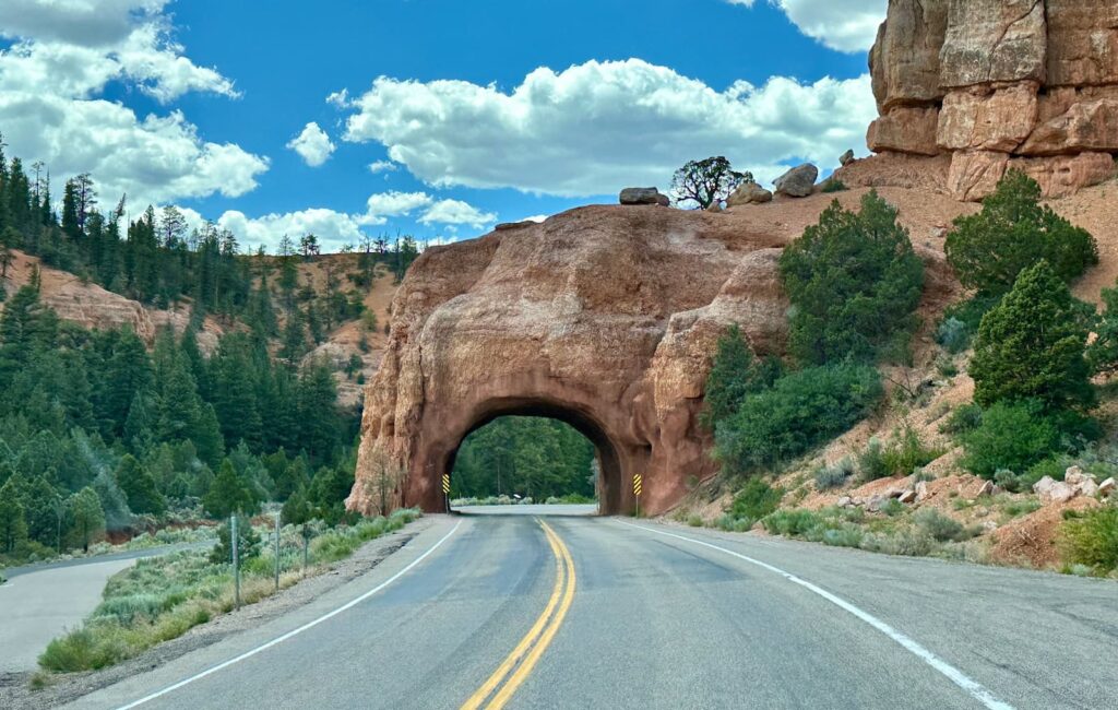
Hwy 12, Dixie National Forest – near Red Canyon State Park
Accommodation: Country Rose RV Campground, Fredonia, Arizona
Fredonia is a very small town and for us it was just a place to stay in striking distance of the North Rim. Country Rose RV was a small, fairly basic campground, all gravel with a small unisex wash-house and laundry. We booked online, arrived late and left early so did not meet the host.
Grand Canyon North Rim, Arizona
The North Rim of the Grand Canyon is much more remote and far less busy than the Grand Canyon South Rim (where most people visit). We loved it! Services at the North Rim are generally open from mid-May to mid-October each year and closed during mid winter.
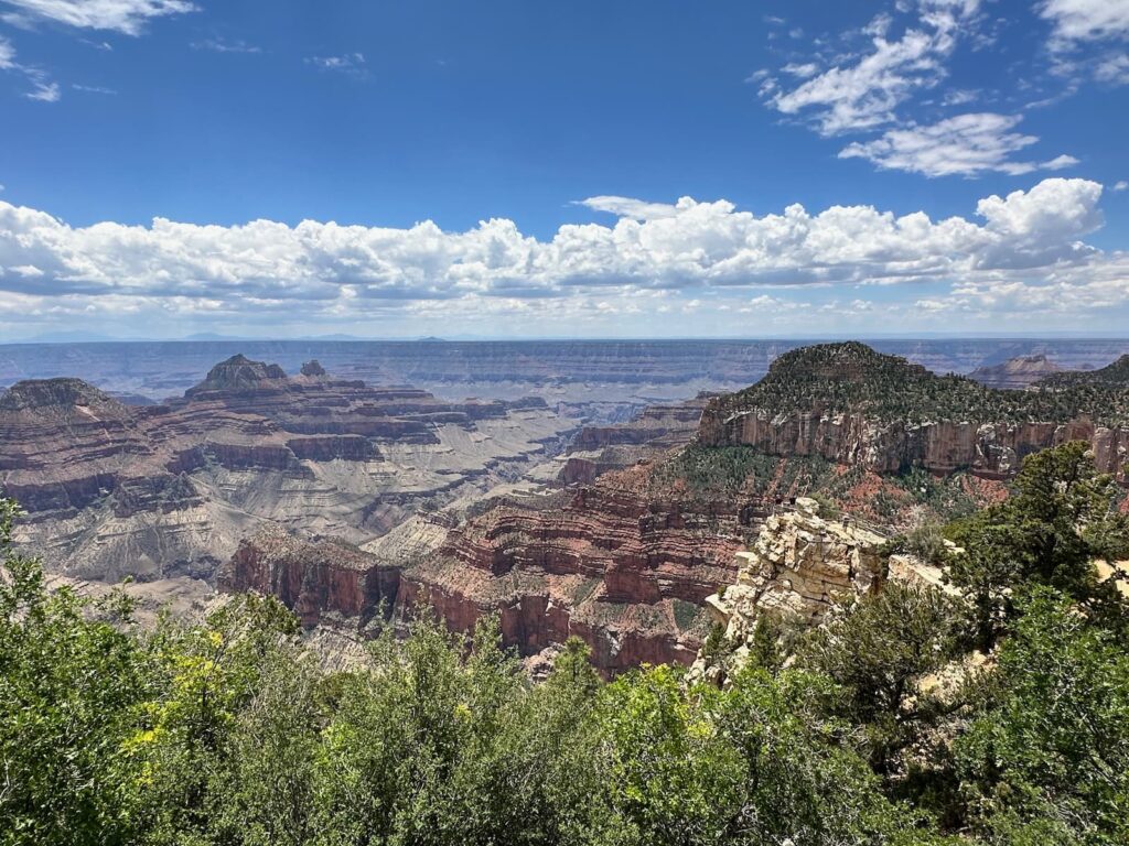
Grand Canyon North Riim
The drive from Fredonia up to the North Rim is along AZ-Hwy 67 and takes about 1.5 hours.
If sensitive to altitude, it is worth noting that there is a significant change in altitude between Fredonia (4,725ft/1,440m) and the North Rim (8,803 ft/2,683 m).
Le Fevre Overlook (elevation 6700 ft) about 30 minutes from Fredonia is worth a stop. There are a few stairs leading up to the viewpoint from which there are wonderful views looking back towards Fredonia.
Jacob Lake
Jacob Lake is a popular stop along AZ-Hwy 67 on the way to North Rim. Many people choose to stay at Jacob Lake to visit the North Rim. There are a couple of camp grounds and Jacob Lake Inn has accommodation, petrol, restaurant, gift shop, etc.
- Jacob Lake Inn – ‘family owned and operated for 100 years and counting’, a large selection of Native American art and jewellery – don’t miss this historic inn. We loved their cookies!
- Kaibab Plateau Visitor Center – an excellent place to learn about the Kaibab Plateau – beautiful exhibits.
- Jacob Lake Campground – a popular campsite for tents and small RVs (no utility hook-ups).
- Kaibab Camper Village – nestled among beautiful Ponderosa Pines, tent sites, full hook-ups for RVs.
From Jacob Lake it is just under one-hour’s drive (45 miles/72.5 kms) to the North Rim NP (or 31 miles/50kms to NP Entrance) along the Kaibab Plateau Scenic Drive, a National Forest Scenic Byway and a State Scenic Parkway. We especially loved the open meadows. Note: The highway is usually closed from November to mid-May due to heavy snow.
Along this Scenic Drive amenities include:
- Kaibab Lodge – 5 miles from entrance to North Rim, cabin accommodation, restaurant, bar and lounge, shuttle service to North and South Rims of Grand Canyon, shuttle to North Kaibab Trailhead.
- De Motte Campground – 7 miles from entrance to North Rim, 38 sites for tents, trailers and small motor homes, no utility hook-ups.
- North Rim Country Store – petrol, groceries, camping supplies, beer, wine, firewood, maps, ice, telephone, rest rooms.
North Rim Grand Canyon
At the North Rim entrance station we paid a vehicle permit of US$35 (valid for 7 days, includes North & South Rim). From there it is 13 miles/21 kms to the North Rim Lodge and campground. Just after entering the NP we saw a beautiful herd of buffalo!
View from North Rim Grand Canyon Lodge Dining Room
Things to do/Amenities at North Rim Grand Canyon:
- Visitor Information Station and Park Store – pick up a Pocket Map to help plan your visit.
- Grand Canyon Lodge – accommodation, restaurant, deli, gift shop, magnificent views of the canyon. Open mid-May to mid-October.
- Scenic Drive – Cape Royal Road: 23 mile/37 km a winding, one-way scenic drive. While it takes just 45 mins to drive this road, allow several hours to take in the viewpoints and short trails: Point Imperial, Vista Encantada, Roosevelt Point, Walhalla Overlook, Cape Royal. If short on time don’t miss Point Imperial, Vista Encantada and Roosevelt Point. Vehicles longer than 22 ft/7 m are not allowed on this road.
- Hiking Trails – there are 12 hiking trails including Bright Angel Point Trail, Transept Trail, Bridle Path and Widforss Trail.
- Ranger Programs – include Behind the Scenery, Colorado River Connections, Beneath the Canopy.
- North Rim Campground – this campground, within the National Park, is generally open from mid-October to mid-May. It is suitable for tents and smaller RVs. Amenities include showers, flush toilets, drinking water, dump station, picnic tables, fire pits. There is a General Store and Service Station near the Campground.
We loved our visit to the North Rim. We found it far less crowded than the South Rim however there were fewer amenities and it is more remote – but well worth the drive.
Some years prior we had been to the South Rim of the Grand Canyon. If you haven’t been and wanted to visit, it is about a 4 to 4.5 hour drive from the North Rim. The South Rim is open all year round whilst the North Rim is generally closed during Winter.
Drive Grand Canyon North Rim to Page, Arizona
It was a beautiful drive from Grand Canyon North Rim to our next destination – Page/Lake Powell.
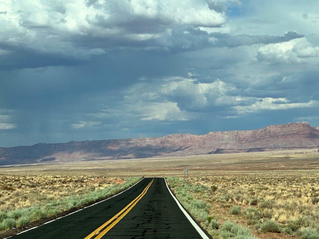
Rte 89A near Vermillion Cliffs, Arizona
Highlights of the drive:
- Vermillion Cliffs National Monument – amazing red-coloured cliffs.
- Lees Ferry – the site of a ferry crossing of the Colorado River that operated from the 1800s to early 1900s, linking Arizona and Utah. Lees Ferry is part of the Glen Canyon Recreation Area and visitors can drive right down to the Colorado River. Lees River is the official start of the Grand Canyon. It is a stunning landscape with numerous trails including Lonely Dell (a 1-mile walk to the remains of Lonely Dell Ranch, pioneer cemetery and orchard), River Trail/Lees Fort (a 2-mile walk along the river to the historic cabled ferry crossing) and Cathedral Wash (a 3-mile walk). The Lees Ferry Campground is a beautifully located campsite with wonderful views.
- Navajo Bridge Interpretive Center: after visiting the interpretative center, walk across the historic Navajo Bridge (pedestrians only) high above the Colorado River for wonderful views of Marble Canyon. There are in fact two bridges – the new bridge, a ‘twin’ of the Navajo Bridge, was opened for vehicular traffic in 1995.
Accommodation: Roam US RV Camping & Cabins, Page
Arriving in Page, we stayed on the outskirts of town at a very modern (2 years old) campground called Roam America RV Park. It was not your run-of-the-mill campground. The property was beautifully landscaped. It was an all gravel campground, in keeping with the environment, and had wonderful views.
We stayed in Site 170 – a back-in site with metal picnic table and fire pit/grill.
There are three modern washroom blocks that have unisex shower rooms (shower/toilet/basin) and laundry in each block (can pay with credit card or coins to do laundry). There is hand wash, body wash, shampoo and conditioner supplied in showers.
There is a beautiful pool area, café and seating area with umbrellas.
Page, Arizona
The town of Page was established in the 1950s. It came about when the Glen Canyon Dam was built on the Colorado River to form Lake Powell. A camp was built to house the bridge workers and their families and that camp grew into the town of Page. These days Page’s main industry is tourism.
The main attractions in Page:
- Horseshoe Bend
- Antelope Canyon
- Lake Powell
- Powell Museum & Archives
Horseshoe Bend
Horseshoe Bend is about a 10-minute drive from Page. Once there, it is US$10 per car/RV to park in the carpark then it is about a 20-minute walk out and back to the overlook. The walk is slightly downhill on the way out. There are a couple of shaded rest stops. It can be very hot and the walk is completely exposed to the sun so it’s advisable to take water and protect yourself from the sun.
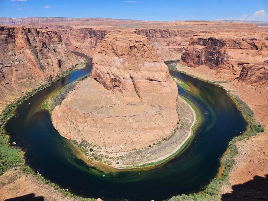
Horseshoe Bend
Glen Canyon Bridge & the Dam
On the outskirts of Page is the Glen Canyon Bridge. We pulled over to walk across the bridge for amazing views of the canyon and the dam. The dam is the fourth largest in the USA.
Just across the bridge is the Carl Hayden Visitor Center which tells the story behind the dam and it is worth visiting.
Carl Hayden Visitor Center
- Comprehensive exhibition about the dam and Lake Powell.
- There are three films screened at the Visitor Center. The day we were there we watched ‘Standing Tall’ – an informative film on why and how the dam was built. Firstly, Glen Canyon Bridge was built in 1959 and at the time it was the highest steel arch bridge in the US. The dam was finished in 1963. One of the purposes of the dam is to provide hydro-electric power, the other is to ensure a consistent supply of water.
- Lake Powell is 186 miles long. The section we can see is very beautiful – blue water against white cliffs. It is a very popular place for boating.
Lake Powell Boat Tours
There are three operators:
- Lake Powell Resort (on the lake, Wahweap area) – boat tours available of the lake.
- Antelope Point Marina (on the lake) – boat tour available of Antelope Canyon
- Wilderness River Adventures (Colorado River) – kayak rental on the Colorado River.
Glen Canyon National Recreation Area (Wahweap Area)
Take a drive along the low road – Lakeshore Drive for scenic views of the lake. There is an entry fee (National Parks Pass covers it). The Wahweap area is quite compact – for example Wahweap Marina is 5 miles from entry point – so it doesn’t take long to see the area.
There are a couple of excellent viewpoints along Lakeshore Drive and access to a public beach on the lake.
Lake Powell Resort & Marina
Boat tours of the lake start at Lake Powell Resort.
At Stateline boat launch ramp, we drove back up to turn left on Rte 89 towards Page (exit the Glen Canyon National Recreation Area Wahweap North Entrance) and this tool us to the amazing Wahweap Overlook.
Wahweap Overlook
Stop at Wahweap Overlook for a fabulous panoramic view of Lake Powell.
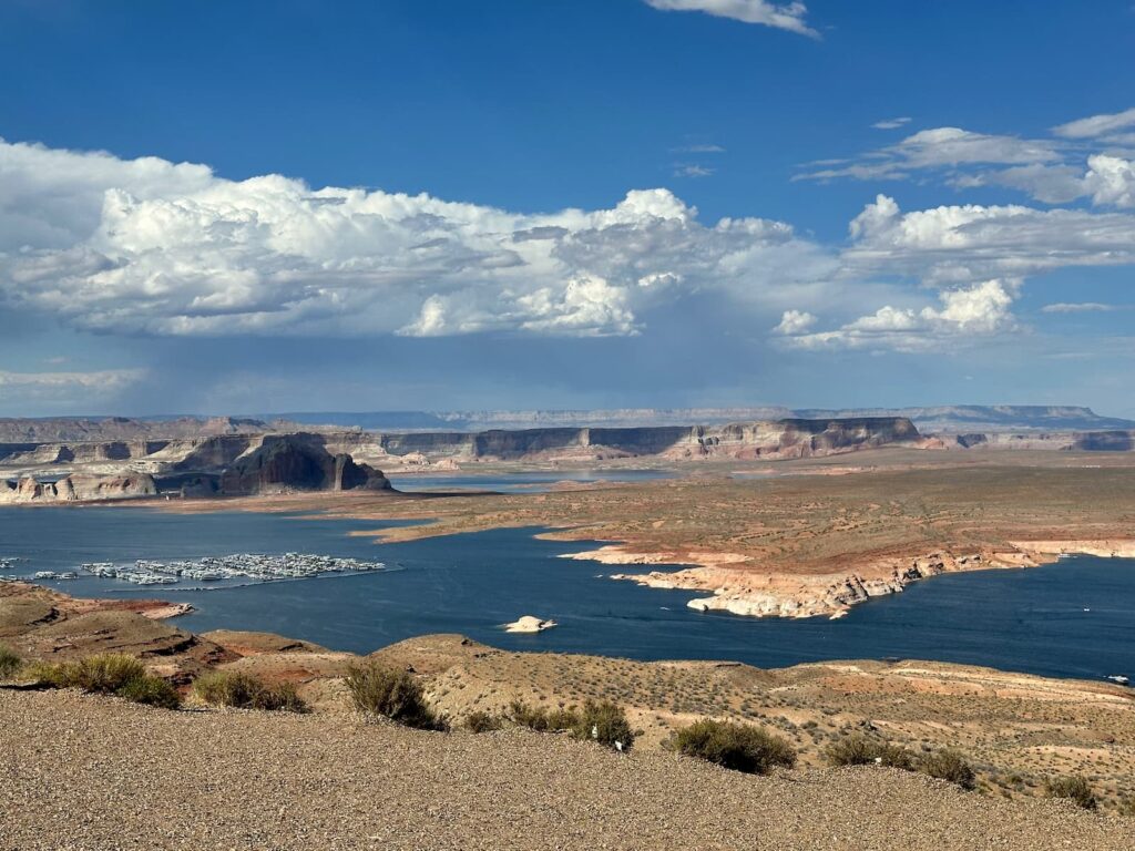
View of Lake Powell from Wahweap Scenic Overlook
Grandview Overlook, Page
Don’t miss stopping at Grandview Overlook for excellent views and information on the area.
Antelope Canyon
Touring Antelope Canyon is one of the most popular things to do in Page. There are three canyons – Upper Antelope Canyon, Lower Antelope Canyon and Canyon X. Upper Antelope Canyon is the most famous. To visit one or more canyons, visitors must book a Guided Tour. Tour guides are mandatory and it is advisable to book well in advance.
Lower Antelope Canyon
There are two tour operators – Ken’s Tours and Dixie’s Lower Antelope Canyon tours. The lower canyon has some climbing of stairs which may not be suitable for some visitors.
Upper Antelope Canyon
Five Antelope Tour operators:
- Antelope Canyon Tours, Inc.
- Tsebighanilini Tours
- Adventurous Antelope Canyon Tours
- Antelope Slot Canyon Tours
- Antelope Canyon Navajo Tours
On enquiring at the Page Lake Powell Hub Visitors Center we were told that Antelope Slot Canyon Tours by Chief Tsosie – were the most popular.
We found this site useful – Antelope Canyon Tours
Drive Page to Holbrook (Petrified Forest National Park & the Painted Desert), Arizona
Whilst not the quickest route from Page to Holbrook, this was a very scenic drive and had interesting National Monuments to visit along the way. Much of the route is through Navajo Nation country.
It would make sense to include Monument Valley in this itinerary but we had visited that amazing area on a previous trip – see our blog on Monument Valley
Summary of the scenic route from Page to Holbrook:
Leaving Page, we took Rte 98, joined Rte 150 (off which is the Navajo National Monument). We turned off Rte 150 onto Rte 191 (off which is Canyon de Chelley National Monument at Chinle, and the Hubbell Trading Post, a National Historical Site). Rte 191 hits I-40 which we took to Holbrook where we spent the night. The next day we were back on I-40 to visit Petrified Forest National Park and the Painted Desert.
Navajo National Monument, Arizona
The Navajo National Monument (elevation 7,300ft) is 9 miles off Hwy 160 and certainly worth a visit.
There are 3 cliff dwellings there that are protected by the Navajo National Monument.
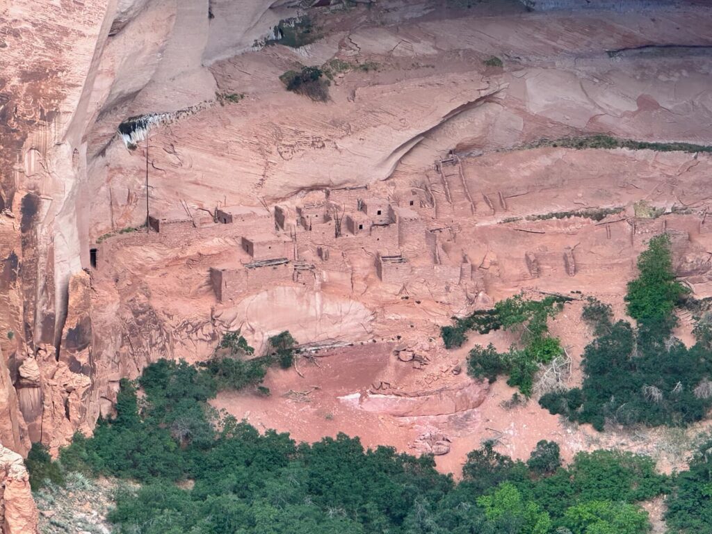
Betatakin Cliff Dwellings, Navajo National Monument, Arizona
On the road into Navajo National Monument, just south of the Visitor Center is Tsegi Overlook. Park in the space provided and you will see the viewpoint. There are interpretative signs describing how the canyons you see were formed. Worth the stop.
Once at the Visitor Center, there are 3 walking trails, all originating from behind the Visitor Center building:
- Sandal Trail – the most popular walk, it is a fairly easy, paved pathway (drops about 100ft) leading to a viewpoint where you can see the Betatakin cliff dwelling across the canyon. It is the only place in the park that you can see a cliff dwelling (albeit from afar) other than on a guided tour. There are excellent interpretative signs along the way describing how the native people used the vegetation for food, medicine, etc. The trail is 0.62 mile each way.
- Canyon View Trail – an easy walk with panoramic views of the Tsegi Canyon. The trail leads to the Canyon View campground. The trail is 0.41 mile round trip.
- Aspen Trail – a strenuous walk on an unpaved trail. It is 0.32 miles one way. The trail gives an overview of the vegetation.
There are guided tours to the Betatakin cliff dwelling site, usually on the weekends between Memorial Day and Labor Day.
You can sign up for the tour at the Visitor Centre or phone 928-672-2700. Tours start at the Visitor Centre and are usually in the mornings. It is a 4.5 miles round trip and takes 4 to 5 hours. It is stressed that this is a very strenuous hike. See details on the Navajo National Monument Guided Tours website page.
The Visitor Center has a small display on the cliff dwellings and the people who lived there. We especially loved the display of ceramic pots. There is also a gift shop with Navajo jewellery, t-shirts, hats, books, etc.
Don’t miss seeing the dinosaur footprints behind the Visitor Centre.
There are also a couple of examples of structures built by the Navajo – a desert dwelling (Hogan) and a bathhouse (Sweathouse) – very interesting.
We can highly recommend visiting this special park.
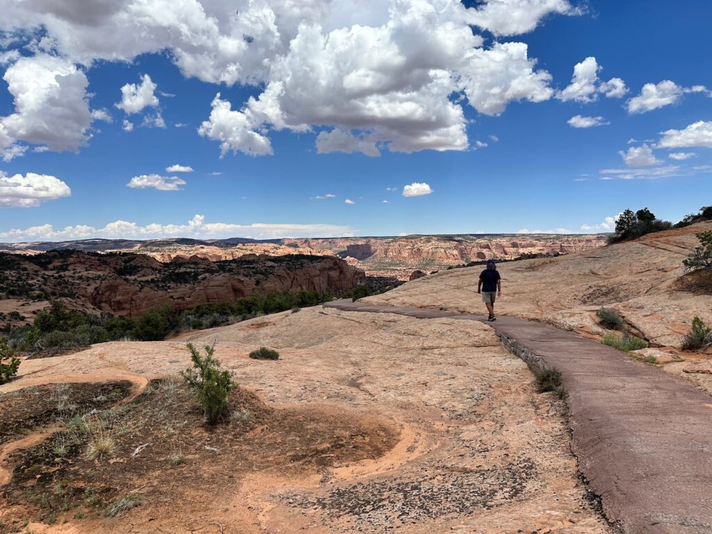
Sandal Trail, Navajo National Monument
Canyon de Chelly National Monument, Arizona (Rte 191)
This national monument is near the small town of Chinle.
There are 13 cliff dwellings to be seen at Canyon de Chelly NM by taking 2 scenic drives. Stop at the Visitor Center to pick up a map. If the Center is closed you can still do the drives:
- North Rim Drive – a 34-mile round trip along Rte 64.
- South Rim Drive – a 37-mile round trip.
The roads are paved and Entrance is free.
We unfortunately ran out of time to see much at Canyon de Chelly but it was highly recommended by one of the Park Rangers in Page.
Hubbell Trading Post – National Historic Site, Arizona
The Hubbell Trading Post, established in the 1800s, is located about 40 minutes drive south of Canyon de Chelly NM on Hwy 191. Because we were running late, the Trading Post was closed but this was also recommended by a Ranger at the Navajo National Monument.
Accommodation: Holbrook/Petrified Forest KOA Journey, Arizona
We had a drive-through site, #17, with electricity, water and picnic table. Campfires are only allowed in designated common areas. All sites are gravel with medium-sized trees. We were fortunate to be just behind the Reception building which houses separate Men and Women bathrooms. The bathrooms are in the older style – one big room of toilet stalls and shower stalls – all very clean. Showers are hot and free. Amenities include a swimming pool and playground.
Drive Holbrook to Santa Fe via Petrified Forest National Park
Petrified Forest National Park I-40
The Petrified Forest National Park is located in the Painted Desert. The park has 2 sections – north and south off the I-40. There are two entrances to the park – the North Entrance (off I-40) and the South Entrance (off Rte 180), each with a Visitor Center.
There is a scenic drive (Park Road) through the park and you can travel either north to south, or south to north.
We travelled north to south, stopping firstly at the Painted Desert Visitor Center just off I-40 (Exit 311) in the Painted Desert Community Complex. We spoke with a Ranger, collected a map and advice on what to see and do. This 1960’s-era complex includes:
- Visitor Center
- a Diner (park film screened here)
- gift shop
- bookshop
- petrol station
- restrooms
- Museum Demonstration Lab – see palaeontologists at work
We began the scenic drive through the park in the northern section and stops included:
- Tiponi Point & Tataypi Point – overlooks with views of the Painted Desert.
- Tawa Point – panoramic views of the Painted Desert plus two walks: Tawa Trail to the Visitor Center (2 mile round trip) and Painted Desert Rim Trail to Painted Desert Inn (1 mile round trip).
- Painted Desert Inn – one of my favourite stops – a beautiful building, inside and out, with panoramic views of the ‘red’ section of the Painted Desert from Kachina Point.
- Hozho Point & Pintado point – panoramic viewpoint of Painted Desert.
- Nizhoni Point, Whipple Point, Lacey Point – overlooks with views of the Painted Desert.
- Rte 66 used to cut through the park and a 1932 Studebaker car is, for some reason, sitting near that point.
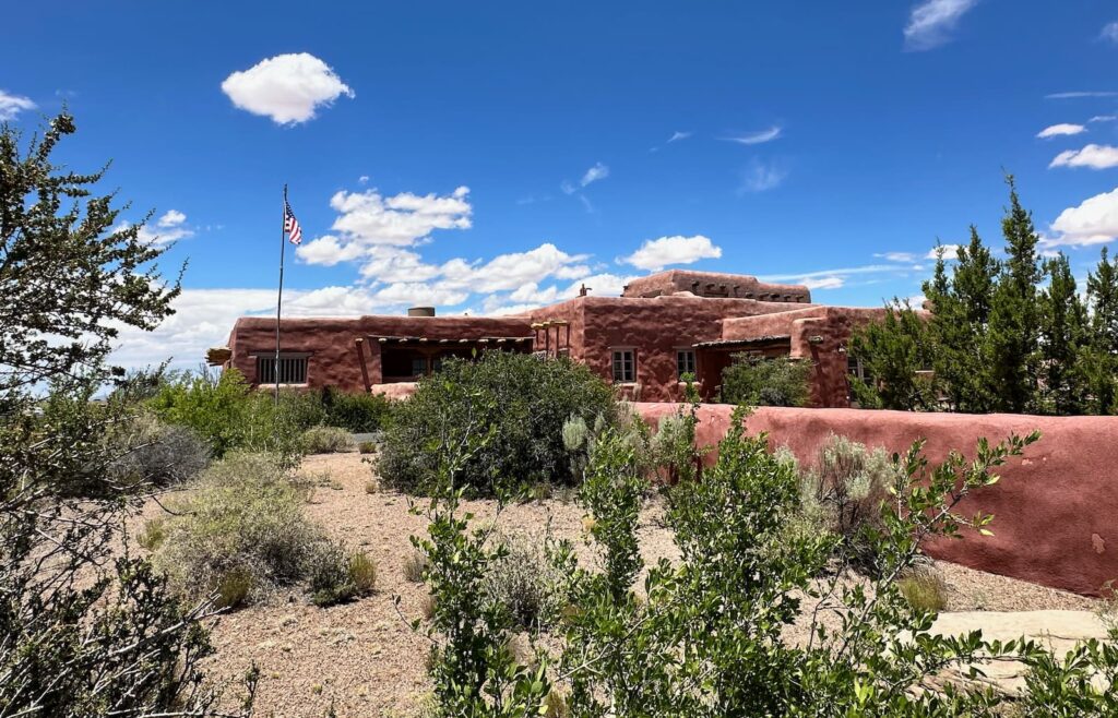
Painted Desert Inn, Petrified Forest National Park
The Park Road then crosses over I-40 – there are several stops to make in this southern section of the park:
- Puerco Pueblo – easily accessible 0.5km loop trail takes visitors to remains of Puebloan homes.
- Newspaper Rock – see Puebloan petroglyphs in the rock below the viewpoint.
- Drive through the ‘teepees’.
- Take the 1.5 mile Blue Mesa drive to see the ‘blue’ section of the Painted Desert, large petrified logs and walk the 1.6km Blue Mesa loop trail.
- Agate Bridge
- Take the ½ mile road to Jasper Forest.
- Crystal forest – colourful petrified logs, 1.2km loop.
- Rainbow Forest Museum – at the southern entrance to the Park. This museum has a paleontological exhibition where you can see skeletons of prehistoric animals, information on what to see and do, bookstore, gift shop and park movie, takeaway food items, restrooms.
There are a few trails here:- Giant Logs – large and colourful petrified logs, 0.6km loop.
- Long Logs – large numbers of petrified wood, 2.5km loop.
- Agate House – a Pueblo dwelling made of petrified wood, 3.2km round trip.
For more information on walks, take a look at Trails-Petrified Forest National Park and for more information on what to see, take a look at Places to Go-Points of Interest – Petrified National Park
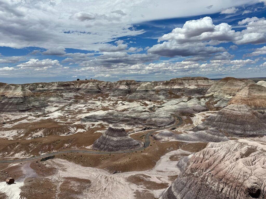
Blue Mesa Loop Trail, Petrified Forest National Park, Arizona
Santa Fe, New Mexico
Santa Fe became an art colony in the 1960s and today art is a common thread through the city. We have never visited a city with so many art galleries!
Our first stop was at the Tourist Information Centre where we collected a map and asked the friendly staff for advice on what to see and do.
Santa Fe is very walkable and most of the highlights can be reached on foot.
Highlights of Santa Fe:
- The Plaza – Santa Fe’s city square and centre of the historic district. It is a lovely park surrounded by arcades with shops and the famous Palace of Governors – the oldest public building in the US. Craftspeople line the portal of the Palace of Governors selling their jewellery. The quality is excellent as each craftsperson has to apply and be approved to sell their wares. It is a great experience to meet the craftspeople.
- Georgia O’Keefe Museum
- Museum of Native Contemporary Art – art, history and culture.
- Cathedral Basilica of St Francis
- La Fonda on the Plaza
- Loretto Chapel – the mysterious spiral staircase
- Inn and Spa at Loretto
- San Miguel Church – the oldest church structure in the USA ca 1610.
- The oldest house in the USA – free entry
- Canyon Road art galleries
- The Railroad District where the Vladem Contemporary Museum is located
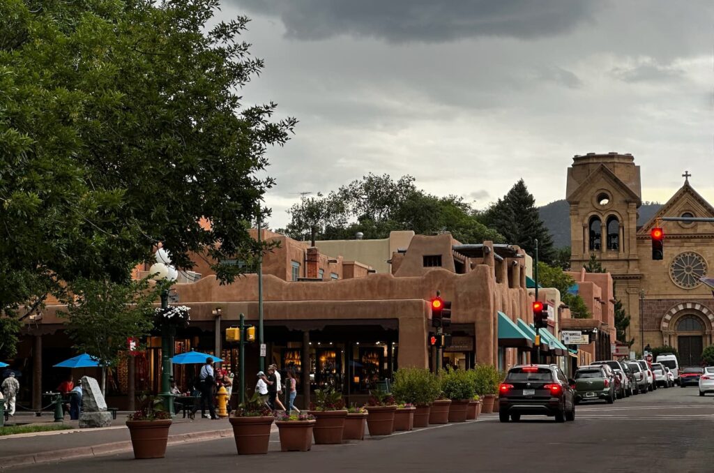
Downtown Santa Fe
There are a number of excellent museums in Santa Fe:
- Georgia O’Keefe Museum
- New Mexico History Museum
- New Mexico Museum of Art
- Palace of Governors
- Museum of Contemporary Native Art
- Vladem Contemporary Museum
- Alan Houser
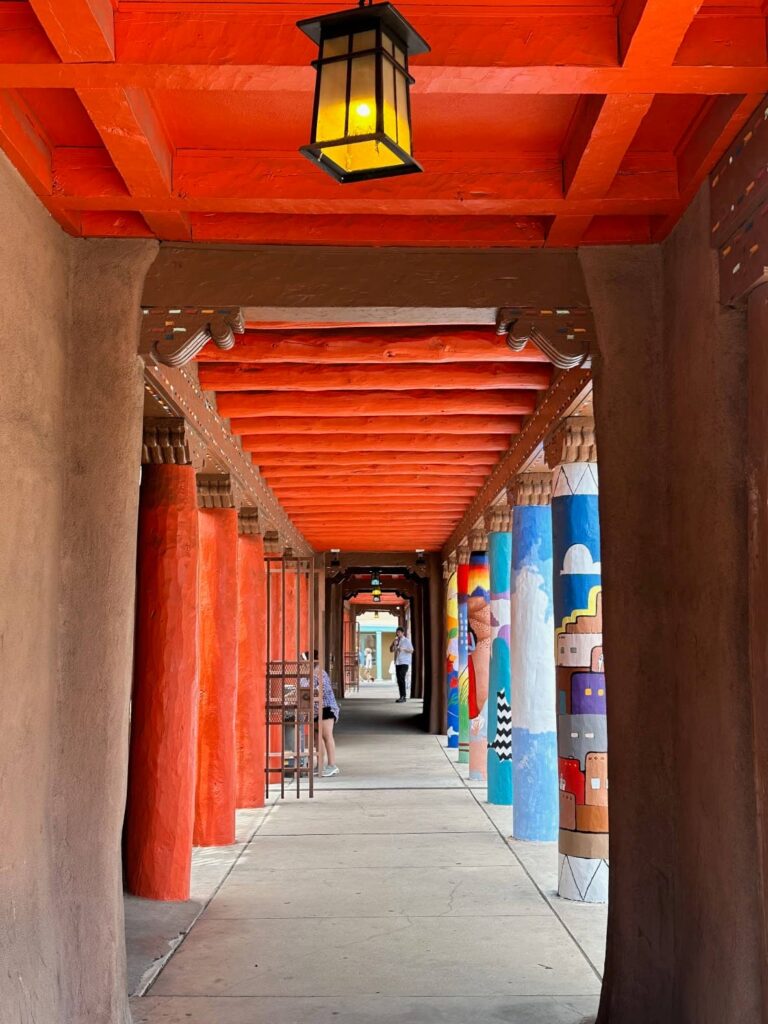
IAIA Museum of Contemporary Native Arts (MoCNA), Santa Fe
Accommodation: Santa Fe KOA Journey
This KOA is just under 15 miles (23.5kms) south of downtown Santa Fe, a 20 minute drive or about US$25 in an Uber.
It is an attractive KOA with gravel sites in a rural setting. We have Site H2 on the north-eastern side of the Campground. Each site has shrubs between them giving a little privacy. We have a picnic table and fire pit. The washrooms are at the back of the Reception building – separate Men and Women. They are traditional stalls toilets and showers. There are no shops nearby to buy groceries so plan in advance. Having said that the shop in Reception stocks drinks and souvenirs.
Taos, New Mexico
Taos is a special place. It is a beautiful small town at the foot of the Sangre de Cristo Mountains with the high desert to the west. The adobe-style architecture of the town blends beautifully with the landscape.
There is much to see in Taos.
One of the famous landmarks in Taos is Taos Pueblo – one of the oldest communities in the US. The Native Americans here were one of the few who were not displaced from their original homelands and have been living here for around 1,000 years. Taos Pueblo is a UNESCO World Heritage Site and a National Historic Landmark.
Taos has also been a significant art community since the early 1900s when six artists formed the Taos Society of Artists. It still attracts artists today and has a Bohemian feel.
Highlights:
- Taos Pueblo – it is possible to visit this community between 9am and 4pm. Entry is US$25 per person (adults) payable at the entrance to the community. There are free guided tours offered, usually every 30 minutes. The tour lasts about 30 minutes and you will learn about the Pueblo culture, history and way of life. Refer to https://taospueblo.com/ for more details.
- Taos Plaza – the historical centre of town – shops and eateries. Visit the historic Hotel La Fonda. Stroll the surrounding streets including the charming John Dunn House shops.
- Martinez Hacienda Museum – one of the few remaining ‘great houses’ (haciendas) from the late Spanish Colonial period in New Mexico. Built in 1804 by the Martinez family it is worth a visit.
- Millicent Rogers Museum – this was the home of art patron, philanthropist and designer Millicent Rogers. Over 14 rooms there are wonderful exhibitions of various Hispanic and Native American art forms – jewellery, rugs, pottery basketry. It is a beautiful collection (especially jewellery and pottery) and worth visiting.
- San Francisco de Asis Church – in a little hall next to the church, the mystery painting The Shadow of the Cross is kept. The mystery surrounding the painting is that when viewed in daylight it is a painting of Jesus however when viewed in the dark a cross appears over Jesus’s shoulder. To see the painting, enquire in the little gift shop next door.
- Harwood Museum of Art
- Taos Art Museum at Fechin House – renowned painter Nicolai Fechin built the house in the late 1920’s. He was one of the artists to popularise Taos as an art community.
- Couse-Sharp Historic Site – the former homes and studios of the two artists (EI Course and JH Sharp) who formed the Taos Society of Artists in 1915. Tours are by appointment and usually last 2 hours. See https://couse-sharp.org/ for more details.
- Rio Grande Bridge and gorge
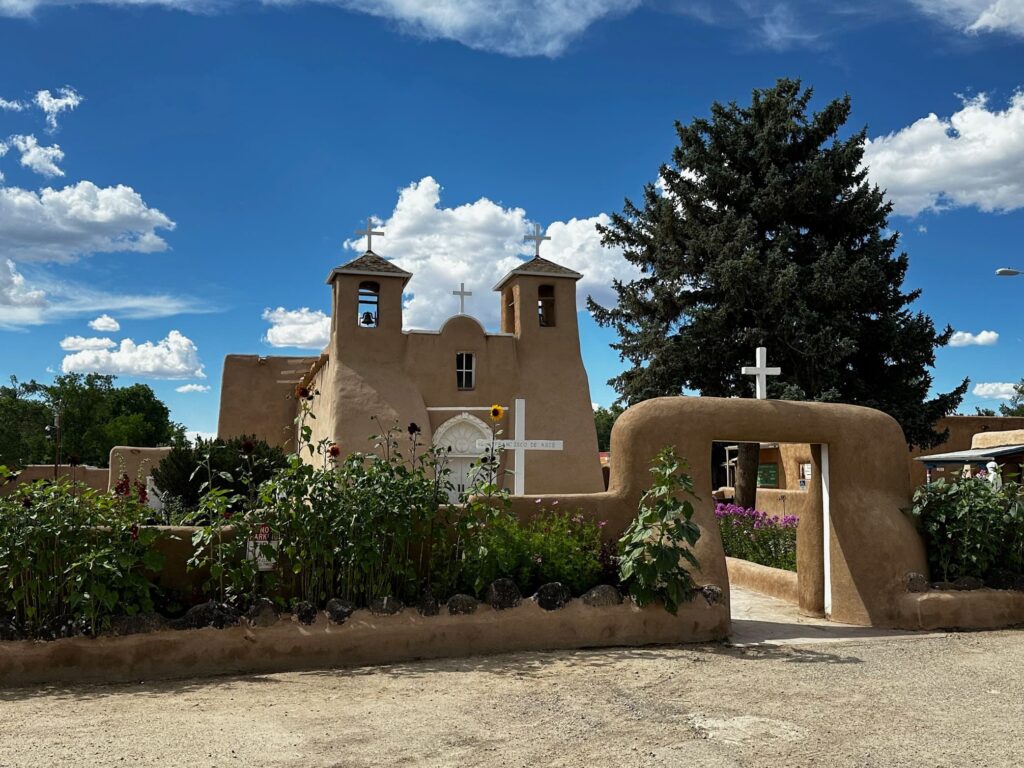
Church of San Francisco de Asis, Ranchos de Taos
Great Sand Dune National Park, Colorado
About 2 hours drive north of Taos is the Great Sand Dune National Park. We visited the park on our way back to Denver.
- Stop at the Visitor Center
- Pick up a map and advice from the Rangers on what to see and do. There are many hikes in the Park and many people climb the sand dunes.
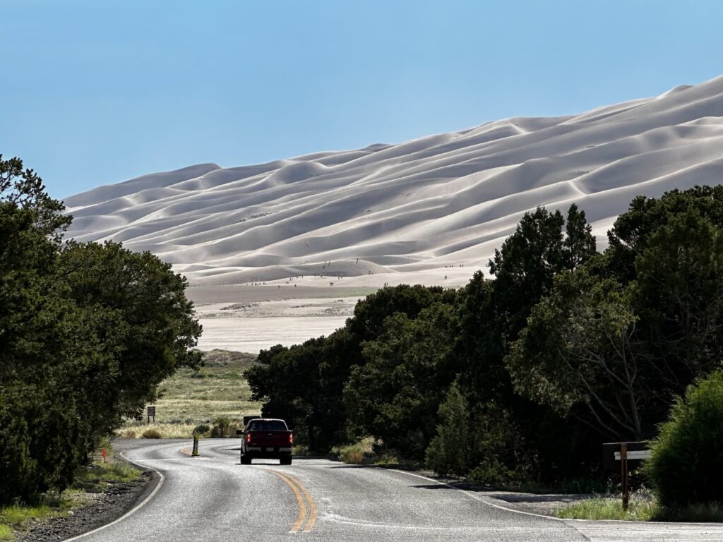
Great Sand Dunes National Park and Preserve, Colorado
Accommodation: Alamosa/Great Sand Dunes KOA Journey, Colorado
After spending an afternoon in the Great Sand Dune NP, we stayed the night at the Alamosa/Great Sand Dunes KOA.
This KOA campground is 3.5 miles from downtown Alamosa and 27 miles from the Great Sand Dunes National Park. It is a relatively small campground with 63 RV sites, 7 cabins and 11 tent sites. Bathrooms are old-fashioned but clean. There is a pool, peddle cart track and a playground. We had a very pleasant stay.
Denver, Colorado
From Alamosa, it was about a 3.5 hour drive back to Denver via US-160E and I-25N.
Denver was the last stop on our road-trip – it was there that we had to drop off the El Monte RV and take our flight back to Australia.
Accommodation: KOA Denver East/Strasbourg, Colorado
There are not too many RV parks to choose from in Denver. We stayed at this KOA which is about 35 miles east of downtown Denver, just off the I-70. It was crowded and close to the highway. We stayed just one night on a gravel site. Separate Mens and Womens bathrooms were clean. There was a cafe next door serving burgers and ribs.
Summary
On this USA road trip we visited many bucket-list destinations and discovered so many more places along the way.
Travelling by RV gave us the freedom to go where we pleased, the convenience of sleeping under the same roof every night and the enjoyment of home-cooked meals. We can highly recommend this mode of travel!
25 April – 4 July 2024
Best Month of Your Life
